Click to visit the main New York Public Library Homepage
The New York Public Library
Digital Collections
About Digital Collections
Browse
Search only public domain materials
Items
Collections
Divisions
Home
Search
Browse
About
Search only public domain materials
Items
Collections
Divisions
Digital Collections
Using Images
Using Data
Search
Filtered search
Show filters
Hide filters
Show Only Public Domain
topic
Real property
207
Railroads
7
Street addresses
4
Railroads, Elevated
3
Ferries
2
More
Less
name
G.W. Bromley & Co
200
E.B. Hyde & Co
4
Hagstrom Map Company
2
Hyde, E. Belcher
2
Ohman Map Co
2
More
Less
collection
Atlases of New York City
206
Maps of New York City and State
14
Atlases, gazetteers, guidebooks and other books
2
William J. Wilgus papers
2
Ancestral charts: Families Beekman, Bennett, Brock, Cole, McSpadden, Steinhauer, etc
1
More
Less
place
New York (State)
219
New York
216
Manhattan (New York, N.Y.)
202
Brooklyn (New York, N.Y.)
7
Brooklyn
3
More
Less
genre
Maps
227
Indexes
4
Mass transit
2
Atlases
1
Ephemera
1
More
Less
publisher
G.W. Bromley & Co
200
E. Belcher Hyde Map Co
4
E. Belcher Hyde
2
A. Nicohosoff
1
A.R. Ohman Map Co
1
More
Less
division
Map Division
224
Manuscripts and Archives Division
3
Milstein Division
2
General Research Division
1
Rare Book Division
1
type
x
cartographic
text
6
still image
2
Date Range
to
231 results found
Filtering on:
x
Date
: 1928 - 1933
x
Type
: cartographic
Sort by:
Title
Date created
Date digitized
Sequence
m
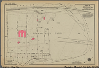
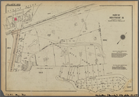
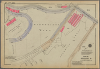
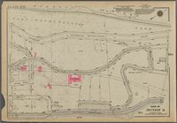
Knickerbocker Village
m
Hammond's complete map of Bro…
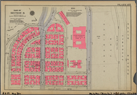
Map of the borough of Brookly…
m
Map showing 50 miles around N…
m
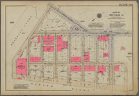
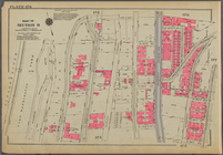
Map of the borough of Brookly…
Transportation lines connecti…
Hagstrom's map of ... New Yor…
m
Map of original grants and fa…
Map showing "52 Gramercy Park…
aert vande Svyd Rivier in Nie…
Map of Proposed Belt Railways…
Preliminary Study for a Great…
m
Hagstom's map of Long Island …
m
Daily menu menu, New York Cen…
Staten Island, N.Y., ed. of F…
Map of Pfalz
City of New Manhattan : propo…
m
Map of routes to the Holland …
Map bounded by Pacific St., S…
Map bounded by Fulton St., Ro…
Map bounded by Dean St., Roch…
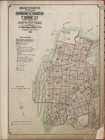
Index map to volume one. Atla…
[Map bounded by Crescent St.,…
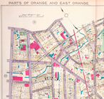
Parts of Orange and East Oran…
Map bounded by Bainbridge St.…
Patroonships, manors and seig…
Historical map of the state o…
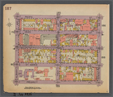
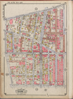
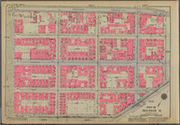
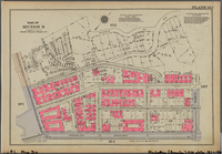
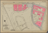
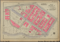
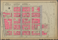
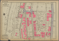
Plate 191, Part of Section 8:…
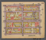
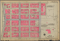
Plate 190, Part of Section 8:…
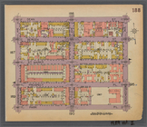
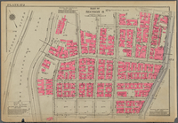
Plate 189, Part of Section 8:…
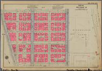
Plate 188, Part of Section 8:…
Plate 187, Part of Section 8:…
Plate 186, Part of Section 8:…
Plate 185, Part of Section 8:…
Plate 184, Part of Section 8:…
Plate 183, Part of Section 8:…
Plate 182, Part of Section 8:…
Plate 181, Part of Section 8:…
Plate 180, Part of Section 8:…
Plate 179, Part of Section 8:…
Plate 178, Part of Section 8:…
Plate 177, Part of Section 8:…
Plate 176, Part of Section 8:…
Plate 175, Part of Section 8:…
Plate 174, Part of Section 8:…
Plate 173, Part of Section 8:…
Plate 172, Part of Section 8:…
Plate 171, Part of Section 8:…
Plate 170, Part of Section 8:…
Plate 169, Part of Section 8:…