Click to visit the main New York Public Library Homepage
The New York Public Library
Digital Collections
About Digital Collections
Browse
Search only public domain materials
Items
Collections
Divisions
Home
Search
Browse
About
Search only public domain materials
Items
Collections
Divisions
Digital Collections
Using Images
Using Data
Search
Filtered search
Show filters
Hide filters
Show Only Public Domain
topic
Real property
3446
Cities & towns
3148
Fire insurance
3148
Maps
90
Exhibitions
18
More
Less
name
Sanborn Map Company
3148
G.W. Bromley & Co
290
New York (N.Y.). Board of Estimate and Apportionment
109
New York (N.Y.). Department of Parks. Topographical Division
29
New York World's Fair (1939-1940 : New York, N.Y.)
18
More
Less
collection
Atlases of New York City
3583
Maps of New York City and State
20
New York World's Fair 1939 and 1940 Incorporated records
18
William J. Wilgus papers
15
Atlases of the United States
2
More
Less
place
New York (State)
3478
New York
237
Manhattan (New York, N.Y.)
203
New York (N.Y.)
202
Bronx (New York, N.Y.)
90
More
Less
genre
Maps
3647
Topographic maps
29
Plans
16
Index maps
6
Indexes
6
More
Less
publisher
Sanborn Map Company
3148
G.W. Bromley & Co
290
New York (N.Y.). Board of Estimate and Apportionment
73
The Board,
36
The Division
29
More
Less
division
Map Division
3609
Manuscripts and Archives Division
36
General Research Division
5
Milstein Division
2
Rare Book Division
1
type
x
cartographic
text
11
still image
4
Date Range
to
3,653 results found
Filtering on:
x
Date
: 1928 - 1939
x
Type
: cartographic
Sort by:
Title
Date created
Date digitized
Sequence
m
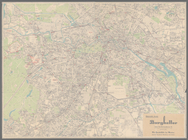
Knickerbocker Village
m
Hammond's complete map of Bro…
Map of the borough of Brookly…
Geroicheskiĭ pokhod
m
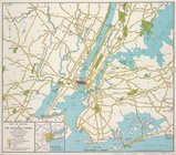
Map showing 50 miles around N…
m
Map of the borough of Brookly…
Transportation lines connecti…
Hagstrom's map of ... New Yor…
m
Map of original grants and fa…
m
Olympia stadtplan von Berlin
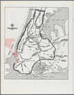
New York City with proposed B…
Brooklyn-Battery Bridge Proje…
Nastoiashchee I budushchee Ka…
Map showing "52 Gramercy Park…
aert vande Svyd Rivier in Nie…
Map of Proposed Belt Railways…
Preliminary Study for a Great…
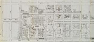
Express level - 1st half
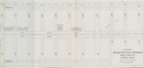
Street Level - 1st half
Street Level - 2nd half
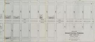
Office level left side
Office level right side
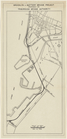
Map. Manhattan's Railroad ent…
Map 10 overhead foot bridges …
Map depot and yard (figure 5)
Map station and yard (figure …
Map. Manhattan's Railroad ent…
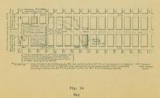
Map (figure 14)
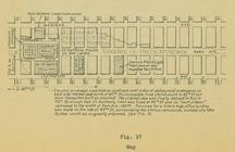
Map (figure 17)
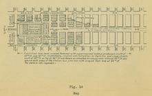
Map (figure 19)
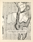
Map showing Ward's Island sup…
m
Hagstom's map of Long Island …
New York herald tribune: Euro…
m
Daily menu menu, New York Cen…
Staten Island, N.Y., ed. of F…
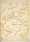
Map of Pfalz
City of New Manhattan : propo…
m
Map of routes to the Holland …
Block Index. Volume Two
Outline and Index Map, Boroug…
Double Page Plate No. 1, Part…
Double Page Plate No. 2, Part…
Double Page Plate No. 3, Part…
Double Page Plate No. 4, Part…
Double Page Plate No. 5, Part…
Double Page Plate No. 6, Part…
Double Page Plate No. 7, Part…
Double Page Plate No. 8, Part…
Double Page Plate No. 9, Part…
Double Page Plate No. 10, Par…
1
2
3
4
5
6
7
8
9
10
…
14
15
Previous
Next
1
2
3
4
5
6
7
8
9
10
…
14
15
Previous
Next