Click to visit the main New York Public Library Homepage
The New York Public Library
Digital Collections
About Digital Collections
Browse
Search only public domain materials
Items
Collections
Divisions
Home
Search
Browse
About
Search only public domain materials
Items
Collections
Divisions
Digital Collections
Using Images
Using Data
Search
Filtered search
Show filters
Hide filters
Show Only Public Domain
topic
Real property
3530
Cities & towns
3148
Fire insurance
3148
Maps
180
Historic sites
55
More
Less
name
Sanborn Map Company
3150
G.W. Bromley & Co
380
New York (N.Y.). Department of City Planning
122
New York (N.Y.). Board of Estimate and Apportionment
109
Ashworth, Irving F
86
More
Less
collection
Atlases of New York City
3827
Cigarette cards
51
Maps of North America
24
Maps of New York City and State
18
New York World's Fair 1939 and 1940 Incorporated records
18
More
Less
place
New York (State)
3560
New York (N.Y.)
653
Manhattan (New York, N.Y.)
206
Bronx (New York, N.Y.)
179
Great Britain
50
More
Less
genre
Maps
3995
Advertisements
51
Advertising cards
51
Cards
51
Cigarette cards
51
More
Less
publisher
Sanborn Map Company
3150
G.W. Bromley & Co
380
New York (N.Y.). Board of Estimate and Apportionment
73
New York (N.Y.). Dept. of City Planning
37
The Board,
36
More
Less
division
Map Division
3893
George Arents Collection
51
Manuscripts and Archives Division
40
General Research Division
12
Milstein Division
8
More
Less
type
x
cartographic
text
116
still image
62
Date Range
to
4,015 results found
Filtering on:
x
Date
: 1933 - 1990
x
Type
: cartographic
Sort by:
Title
Date created
Date digitized
Sequence
m
With the 114th in the ETO: A …
m
Smith's tourist guide of nece…
m
Atlas eclipticalis 1950.0
Geroicheskiĭ pokhod
m
1900 census enumeration distr…
Plan of development, frontisp…
City of New York City Plannin…
Il delta del Po, la Laguna Ve…
Map showing Ward's Island sup…
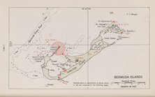
Bermuda Islands
Map. Manhattan's Railroad ent…
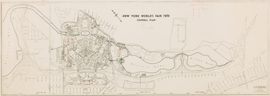
New York World's Fair 1939. G…
Map 10 overhead foot bridges …
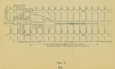
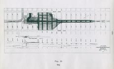
Map depot and yard (figure 5)
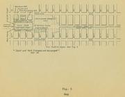
Map station and yard (figure …
Map. Manhattan's Railroad ent…
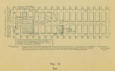
Map (figure 14)
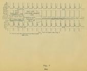
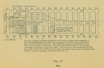
Map (figure 17)
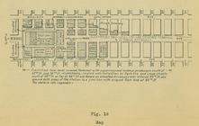
Map (figure 19)
Express level - 1st half
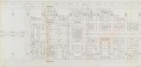
Street Level - 1st half
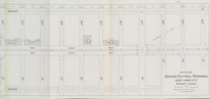
Street Level - 2nd half
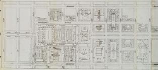
Office level left side
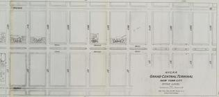
Office level right side
m
Various Views of St. Domingue
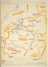
Map of Pfalz
m
Script with blocking notes, i…
Index
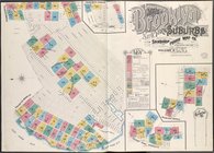
Insurance Maps of Brooklyn Ne…
Brooklyn Vol. A Plate No. 1 […
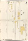
Brooklyn Vol. A Plate No. 2 […
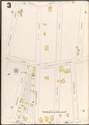
Brooklyn Vol. A Plate No. 3 […
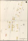
Brooklyn Vol. A Plate No. 4 […
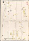
Brooklyn Vol. A Plate No. 5 […
Brooklyn Vol. A Plate No. 6 […
Brooklyn Vol. A Plate No. 7 […
Brooklyn Vol. A Plate No. 8 […
Brooklyn Vol. A Plate No. 9 […
Brooklyn Vol. A Plate No. 10 …
Brooklyn Vol. A Plate No. 11 …
Brooklyn Vol. A Plate No. 12 …
Brooklyn Vol. A Plate No. 13 …
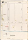
Brooklyn Vol. A Plate No. 14 …
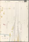
Brooklyn Vol. A Plate No. 15 …
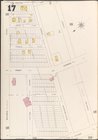
Brooklyn Vol. A Plate No. 16 …
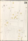
Brooklyn Vol. A Plate No. 17 …
Brooklyn Vol. A Plate No. 18 …
Brooklyn Vol. A Plate No. 19 …
Brooklyn Vol. A Plate No. 20 …
Brooklyn Vol. A Plate No. 21 …
1
2
3
4
5
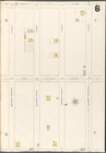
6
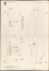
7
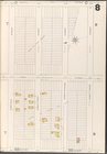
8
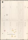
9
10
…
16
17
Previous
Next
1
2
3
4
5
6
7
8
9
10
…
16
17
Previous
Next