Click to visit the main New York Public Library Homepage
The New York Public Library
Digital Collections
About Digital Collections
Browse
Search only public domain materials
Items
Collections
Divisions
Home
Search
Browse
About
Search only public domain materials
Items
Collections
Divisions
Digital Collections
Using Images
Using Data
Search
Filtered search
Show filters
Hide filters
Show Only Public Domain
topic
Exhibitions
4
Housing development
3
Historic buildings
1
Historic sites
1
name
New York (N.Y.). Board of Estimate and Apportionment
108
New York World's Fair (1939-1940 : New York, N.Y.)
4
Annand, George
1
New York (N.Y.). Common Council
1
Parrish, Marguerite Hess
1
More
Less
collection
Atlases of New York City
108
New York World's Fair 1939 and 1940 Incorporated records
4
Maps of New York City and State
1
Report on the proposed development of Ward's Island and the construction of a pedestrian bridge between the islandand East 103rd Street, Manhattan
1
place
New York (N.Y.)
108
New York
4
New York (State)
4
East River (N.Y.)
1
Hudson River Valley (N.Y. and N.J.)
1
More
Less
genre
x
Maps
Index maps
1
Plans
1
publisher
New York (N.Y.). Board of Estimate and Apportionment
72
The Board,
36
Rand McNally & C
1
division
Map Division
109
Manuscripts and Archives Division
4
General Research Division
1
type
cartographic
114
Date Range
to
114 results found
Filtering on:
x
Date
: 1937 - 1937
x
Genre
: Maps
Sort by:
Title
Date created
Date digitized
Sequence
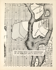
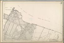
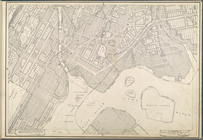
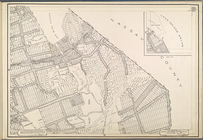
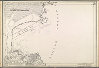
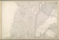
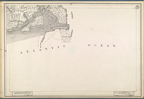
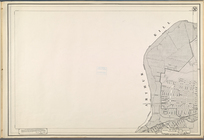
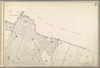
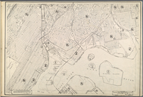
Map showing Ward's Island sup…
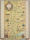
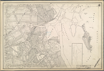
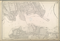
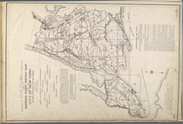
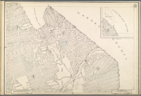
Romance map of the Hudson Riv…
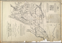
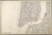
City of New York. Board of Es…
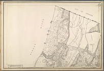
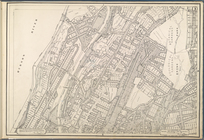
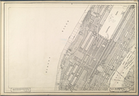
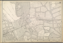
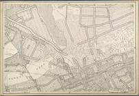
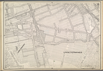
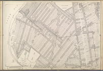
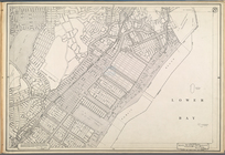
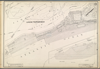
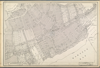
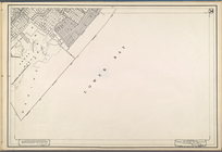
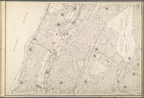
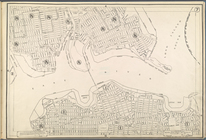
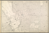
Use District Map Section No. 1
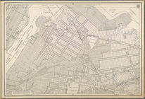
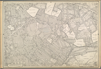
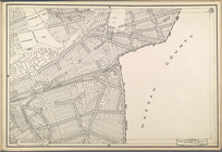
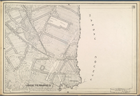
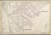
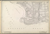
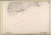
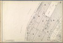
Use District Map Section No. 2
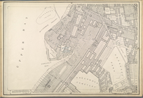
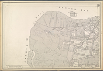
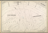
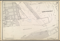
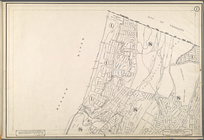
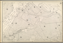
Use District Map Section No. 3
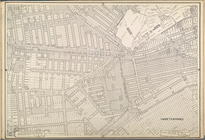
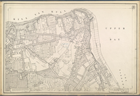
Use District Map Section No. 4
Use District Map Section No. 5
Use District Map Section No. 6
Use District Map Section No. 7
Use District Map Section No. 8
Use District Map Section No. 9
Use District Map Section No. …
Use District Map Section No. …
Use District Map Section No. …
Use District Map Section No. …
Use District Map Section No. …
Use District Map Section No. …
Use District Map Section No. …
Use District Map Section No. …
Use District Map Section No. …
Use District Map Section No. …
Use District Map Section No. …
Use District Map Section No. …
Use District Map Section No. …
Use District Map Section No. …
Use District Map Section No. …
Use District Map Section No. …
Use District Map Section No. …
Use District Map Section No. …
Use District Map Section No. …
Use District Map Section No. …
Use District Map Section No. …
Use District Map Section No. …
Use District Map Section No. …
Use District Map Section No. …
Use District Map Section No. …
Use District Map Section No. …
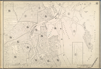
City of New York. Board of Es…
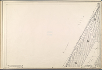
Height District Map Section N…
Height District Map Section N…
Height District Map Section N…
Height District Map Section N…
Height District Map Section N…
Height District Map Section N…
Height District Map Section N…
Height District Map Section N…
Height District Map Section N…
Height District Map Section N…
Height District Map Section N…