Click to visit the main New York Public Library Homepage
The New York Public Library
Digital Collections
About Digital Collections
Browse
Search only public domain materials
Items
Collections
Divisions
Home
Search
Browse
About
Search only public domain materials
Items
Collections
Divisions
Digital Collections
Using Images
Using Data
Search
Filtered search
Show filters
Hide filters
Show Only Public Domain
topic
Real property
290
Maps
91
Historic sites
53
Zoning maps
36
Roads
6
More
Less
name
G.W. Bromley & Co
291
Ashworth, Irving F
86
New York (N.Y.). Department of City Planning
86
Bureau of Social Science Research (Washington, D.C.)
8
Fink, Raymond
8
More
Less
collection
Atlases of New York City
415
Cigarette cards
51
Maps of North America
18
Maps of Asia
17
Maps of New York City and State
4
More
Less
place
New York (N.Y.)
412
New York (State)
293
Manhattan (New York, N.Y.)
202
Bronx (New York, N.Y.)
89
Great Britain
50
More
Less
genre
Maps
507
Advertisements
51
Advertising cards
51
Cards
51
Cigarette cards
51
More
Less
publisher
G.W. Bromley & Co
291
New York (N.Y.). Dept. of City Planning
37
Service de géodésie et de cartographie
17
Producer not identified
8
Ministère des travaux publics et des transport, Institut géographique national
5
More
Less
division
Map Division
455
George Arents Collection
51
Manuscripts and Archives Division
4
General Research Division
3
Schomburg Jean Blackwell Hutson Research and Reference Division
3
More
Less
type
x
cartographic
text
70
still image
55
Date Range
to
519 results found
Filtering on:
x
Date
: 1949 - 1969
x
Type
: cartographic
Sort by:
Title
Date created
Date digitized
Sequence
m
Scene of Shelley's last years
Brooklyn
Brooklyn
m
Confidential Space Allocation…
m
The Story of Africa South of …
Map of the Greenwich Village …
m
Map of the Greenwich Village …
m
Map of Sayaboury
m
Map of part of Ho Chi Minh Ci…
Ville de Savannakhet
m
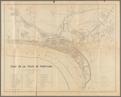
Tourist map of Vientiane
Plan du centre de Thakhek
Pencil sketch of part of Xien…
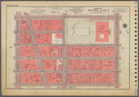
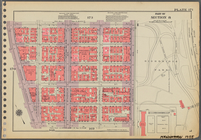
Part of Section 1, Plate 3
m
Map of Laos : based on PEO La…
Pencil sketch of part of Vien…
Plan de la ville de Vientiane
m
Atlas eclipticalis 1950.0
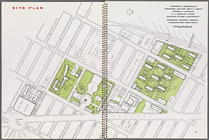
Site plan, [Page 16 and 17]
Map illustrating structures n…
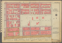
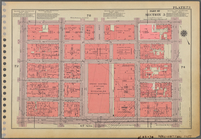
Plate 51, Part of Section 3: …
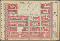
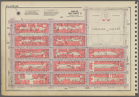
Plate 157, Part of Section 7:…
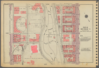
Plate 66, Part of Sections 3,…
Plate 13, Part of Section 1: …
Plate 135, Part of Section 6:…
Plate 150, Part of Section 7:…
Plate 124, Part of Section 6:…
Outline and Index Map of Boro…
Plate 162, Part of Sections 7…
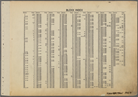
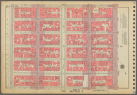
Block Index.
Plate 41, Part of Section 3: …
Outline and Index Map of Boro…
Plate 83, Part of Sections 4 …
Plate 20, Part of Section 2: …
Plate 173, Part of Section 8:…
Plate 119, Part of Section 5:…
Plate 60, Part of Section 3: …
Plate 6, Part of Section 1: […
Plate 171, Part of Section 8:…
Plate 73, Part of Section 5: …
Plate 110, Part of Section 5:…
Plate 28, Part of Section 2: …
Plate 47, Part of Section 3: …
Plate 22, Part of Section 2: …
Plate 92, Part of Section 4: …
Plate 145, Part of Section 7:…
Plate 176, Part of Section 8:…
Plate 136, Part of Section 6:…
Outline and Index Map of Boro…
Plate 38, Part of Section 2: …
1
2
3
Previous
Next
1
2
3
Previous
Next