Click to visit the main New York Public Library Homepage
The New York Public Library
Digital Collections
About Digital Collections
Browse
Search only public domain materials
Items
Collections
Divisions
Home
Search
Browse
About
Search only public domain materials
Items
Collections
Divisions
Digital Collections
Using Images
Using Data
Search
Filtered search
Show filters
Hide filters
Show Only Public Domain
topic
Real property
296
Libraries
128
Branch libraries
126
Theaters
103
Maps
95
More
Less
name
G.W. Bromley & Co
296
New York Public Library
128
New York Public Library. Branch Libraries
125
Hubacher, Max Henry, 1900-1989
111
Circle in the Square (Organization : New York, N.Y.)
105
More
Less
collection
Atlases of New York City
420
The Villager
379
New York Public Library Visual Materials
128
Collection of photographs of New York City, New York State and more by Max Hubacher
111
Circle in the Square papers
100
More
Less
place
x
New York (N.Y.)
New York (State)
555
Greenwich Village (New York, N.Y.)
379
Manhattan (New York, N.Y.)
294
New York
251
More
Less
genre
Photographs
498
Maps
404
Newspapers
379
Index maps
7
Clippings
5
More
Less
publisher
W.G. Bryan and Associates
379
G.W. Bromley & Co
296
New York (N.Y.). Dept. of City Planning
37
New York Journal
2
division
Map Division
420
General Research Division
381
Milstein Division
215
NYPL Archives
128
Billy Rose Theatre Division
109
More
Less
type
still image
882
cartographic
412
text
406
Date Range
to
1,308 results found
Filtering on:
x
Date
: 1952 - 1959
x
Place
: New York (N.Y.)
Sort by:
Title
Date created
Date digitized
Sequence
Results 751 - 800
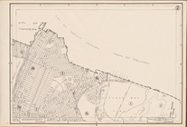
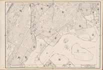
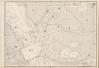
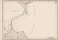
Use Zoning Map Section No. 14…
Use Zoning Map Section No. 20…
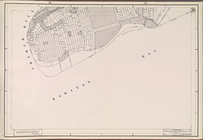
Use Zoning Map Section No. 27…
Use Zoning Map Section No. 32…
Use Zoning Map Section No. 33…
Use Zoning Map Section No. 34…
Use Zoning Map Section No. 35…
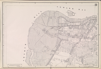
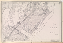
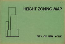
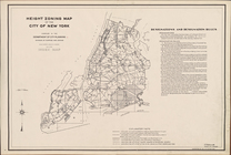
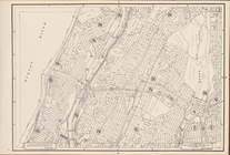
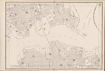
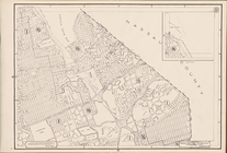
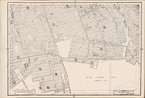
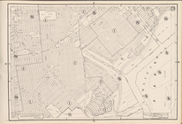
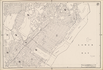
Height Zoning Map. City of Ne…
Height Zoning Map. City of Ne…
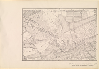
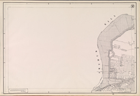
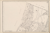
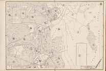
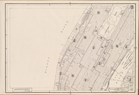
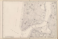
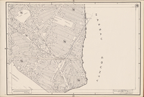
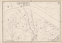
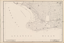
Height Zoning Map Section No.…
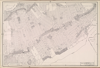
Height Zoning Map Section No.…
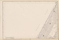
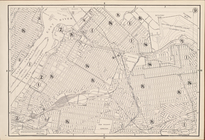
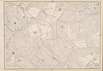
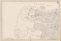
Height Zoning Map Section No.…
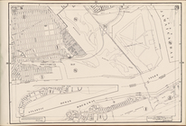
Height Zoning Map Section No.…
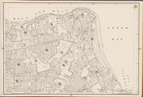
Height Zoning Map Section No.…
Height Zoning Map Section No.…
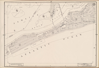
Height Zoning Map Section No.…
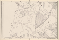
Height Zoning Map Section No.…
Height Zoning Map Section No.…
Height Zoning Map Section No.…
Height Zoning Map Section No.…
Height Zoning Map Section No.…
Height Zoning Map Section No.…
Height Zoning Map Section No.…
Height Zoning Map Section No.…
Height Zoning Map Section No.…
Height Zoning Map Section No.…
Height Zoning Map Section No.…
Height Zoning Map Section No.…
Height Zoning Map Section No.…
Height Zoning Map Section No.…
Height Zoning Map Section No.…
Height Zoning Map Section No.…
Height Zoning Map Section No.…
Height Zoning Map Section No.…
Height Zoning Map Section No.…
Height Zoning Map Section No.…
Height Zoning Map Section No.…
Height Zoning Map Section No.…
Height Zoning Map Section No.…
Height Zoning Map Section No.…
Height Zoning Map Section No.…
Height Zoning Map Section No.…
Height Zoning Map Section No.…
Height Zoning Map Section No.…
m
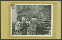
Allen Street #21
m
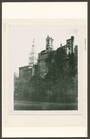
Gramercy Park
m
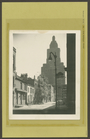
Hanover Sq. #1
m
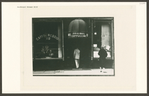
MacDougal Alley - McDougal St…
m
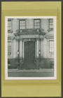
MacDougal Street #119
m
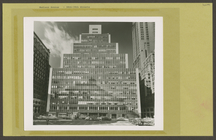
Madison Avenue #260 - 38th St…
1
2
3
4
5
6
Previous
Next
1
2
3
4
5
6
Previous
Next