Click to visit the main New York Public Library Homepage
The New York Public Library
Digital Collections
About Digital Collections
Browse
Search only public domain materials
Items
Collections
Divisions
Home
Search
Browse
About
Search only public domain materials
Items
Collections
Divisions
Digital Collections
Using Images
Using Data
Search
Filtered search
Show filters
Hide filters
Show Only Public Domain
topic
Real property
3
Nautical charts
2
Ethnology
1
Homes and haunts
1
Landowners
1
More
Less
name
Sayer, Robert, 1725-1794
3
Anville, Jean Baptiste Bourguignon d', 1697-1782
1
Baker, lithographer
1
Bryan, Hugh, 1699-1753
1
Bull, William, 1683-1755
1
More
Less
collection
Bancker plans
35
Maps of New York City and State
5
Maps of North America
3
Lawrence H. Slaughter Collection of English maps, charts, globes, books and atlases
2
A short account of Algiers, and of its several wars against Spain, France, England: With a concise view of the origin of the rupture between Algiers and the United States...
1
More
Less
place
New York (N.Y.)
3
New York (State)
3
Early works to 1800
2
Maps
2
New York
2
More
Less
genre
Maps
50
Surveys
35
land surveys
30
Documents
5
Frontispieces
1
More
Less
publisher
E. Belcher Hyde
1
Friends of Hudson River Park
1
G.W. Bacon & Co
1
H.J. Raymond & Co
1
Printed for Robert Sayer, map & sea chartseller, No. 53 Fleet Street
1
More
Less
division
Manuscripts and Archives Division
35
Map Division
12
Rare Book Division
1
Schomburg Jean Blackwell Hutson Research and Reference Division
1
Wallach Division: Print Collection
1
type
x
cartographic
text
6
Date Range
to
50 results found
Filtering on:
x
Date
: 1998 - 2001
x
Type
: cartographic
Sort by:
Title
Date created
Date digitized
Sequence
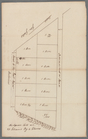
Map of portion of greater New…
A map of Barbary comprehendin…
The territory of Alaska : -- …
m
Land cleared near Mr. Apthorp…
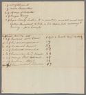
G, diagram of the state of Il…
m
Wall Street
m
Stone Street
m
Mrs. Wever's lots in Queen St…
m
Little Queen, Crown and Cortl…
m
Kip's Bay
m
Now Ireland's, formerly schoo…
m
Survey of Lispenard land near…
m
James Delancey's lot and old …
m
Copy of a map of land at West…
m
Draft of the estate of the la…
m
Hospital, Broadway and Church…
m
Broadway and Fair Street
m
Northwest side of Broadway
m
Between Broadway, New Street,…
m
Survey of the Old House near …
m
Brevoort, Smith and Dawson's …
m
Richard Cunningham's ground a…
m
East side of Peck's Slip
m
Pearl Street
m
Old Slip
m
David Vance Smith
m
Brookland
m
Kings Bridge Road
m
Lot in Crown Street or Maiden…
m
King George Street
m
Gould Street near Maiden Lane
m
Fly Market
m
Division of eight lots
m
Survey of the cove at Corlear…
m
Catherine and Chapel Street
m
Broadway between George Harri…
m
Mandeville's near the Wey Land
m
Stoughton's bitters and mixtu…
m
John Devoor's farm made agree…
m
A map of South Carolina and a…
A chart of the Atlantic Ocean…
A chart of Delaware Bay and R…
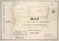
Map of a farm situate in Mont…
m
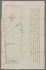
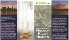
Hudson River Park, Hudson Riv…
De Manatus. Op de Noort Riui…
m
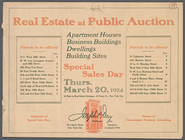
Real Estate at Public Auction
m
Map of tribal and place-names
m
Auction Sale to Dissolve Fort…
Scientia terrarum et coelorum…
m
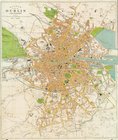
Large scale plan of Dublin
End of results
|
Top