Click to visit the main New York Public Library Homepage
The New York Public Library
Digital Collections
About Digital Collections
Browse
Search only public domain materials
Items
Collections
Divisions
Home
Search
Browse
About
Search only public domain materials
Items
Collections
Divisions
Digital Collections
Using Images
Using Data
Search
Filtered keyword search
Show filters
Hide filters
Show Only Public Domain
topic
Real property
144
Fire insurance
61
Maps
52
Description and travel
45
Geology
22
More
Less
name
Geological Survey (U.S.)
52
E. Robinson Co
47
Pidgeon, R. H. (Roger H.)
47
Beers, F. W. (Frederick W.)
45
G.M. Hopkins & Co
42
More
Less
collection
Atlases of the United States
298
place
x
New Jersey
Jersey City
104
Jersey City (N.J.)
103
Essex County
47
Essex County (N.J.)
47
More
Less
genre
x
Atlases
Maps
298
publisher
The Suvery
52
E. Robinson
47
G.M. Hopkins (Firm)
42
I.B. Culver & Co
32
Spielmann & Brush,
29
More
Less
division
x
Map Division
type
cartographic
298
Date Range
to
298 results found for:
x
map
Filtering on:
x
Division
: Map Division
x
Genre
: Atlases
x
Place
: New Jersey
Sort by:
Relevance
Title
Date created
Date digitized
Sequence
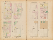
… Plate [
Map
of school district
map
of the city
… by Sanborn
map
company. 11
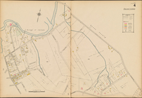
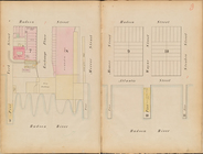
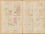
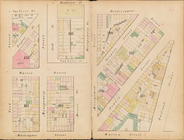
Summit, Double Page Plate No. 4 [
Map
bounded
Index
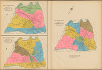
Map
Summit, Double Page Plate No. 1 [
Map
bounded
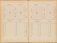
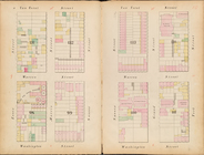
Summit, Double Page Plate No. 2 [
Map
bounded
Summit, Double Page Plate No. 3 [
Map
bounded
Summit, Double Page Plate No. 5 [
Map
bounded
Summit, Double Page Plate No. 6 [
Map
bounded
Summit, Double Page Plate No. 8 [
Map
bounded
Summit, Double Page Plate No. 7 [
Map
bounded
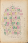
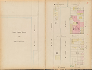
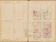
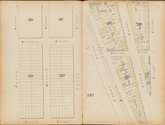
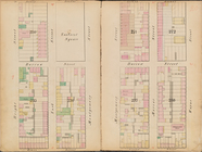
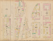
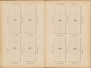
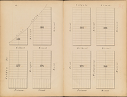
Reference to street numbers
collection:
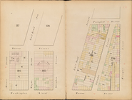
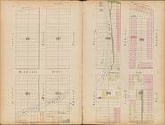
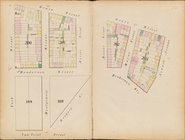
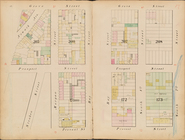
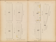
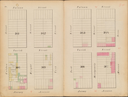
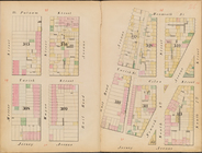
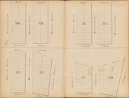
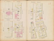
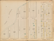
Map
of Jersey City, New Jersey, 1866
… [
Map
bounded by Hudson
… [
Map
bounded by Hudson
… [
Map
bounded by Hudson
… [
Map
bounded by Hudson
… [
Map
bounded
… [
Map
bounded
… [
Map
bounded
… [
Map
bounded
… [
Map
bounded by Van
… [
Map
bounded by Van
… [
Map
bounded
… [
Map
bounded
… [
Map
bounded by Provost
… [
Map
bounded by Grove
… [
Map
bounded by Grove
… [
Map
bounded by Grove
… [
Map
bounded by Grove
… [
Map
bounded by Woolsey
… [
Map
bounded by Jersey
… [
Map
bounded by Jersey
… [
Map
bounded by Jersey
… [
Map
bounded by Putnam
… [
Map
bounded by Putnam
… [
Map
bounded by Putnam
… [
Map
bounded by Putnam
… [
Map
bounded by West St
… [
Map
bounded by Colgate
… [
Map
bounded by Colgate
… [
Map
bounded by Prior
Map
of Jersey City, New Jersey, 1866
… Page Sheet No. 18 [
Map
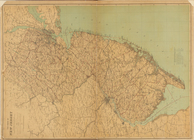
of New Jersey State
Map
]
note:
Scale of
maps
1-17: 1 mile to an inch.
… Page Sheet No. 19 [
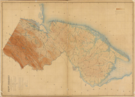
Map
of New Jersey Relief
Map
]
note:
Scale of
maps
1-17: 1 mile to an inch.
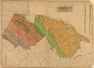
… Page Sheet No. 20 [
Map
note:
Scale of
maps
1-17: 1 mile to an inch.
Lettering conventional signs
note:
Many
maps
are rev. ed., many
Map
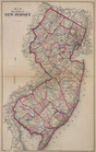
of The State of New Jersey
Topographical
Map
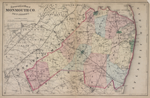
of Monmouth Co., New Jersey.
Index
Map
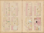
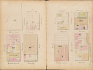
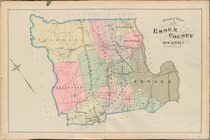
Essex County, Right Page Plate: [
Map
1
2
Previous
Next
1
2
Previous
Next