Click to visit the main New York Public Library Homepage
The New York Public Library
Digital Collections
About Digital Collections
Browse
Search only public domain materials
Items
Collections
Divisions
Home
Search
Browse
About
Search only public domain materials
Items
Collections
Divisions
Digital Collections
Using Images
Using Data
Search
Filtered keyword search
Show filters
Hide filters
Show Only Public Domain
topic
Real property
537
Landowners
375
Administrative and political divisions
72
Real propery auctions
67
Railroads
25
More
Less
name
G.W. Bromley & Co
52
Bourquin, F. (Frederick), 1808-
34
James Bleecker & Sons
34
Worley & Bracher
29
Warner & Foote
28
More
Less
collection
Maps of North America
292
Maps of New York City and State
183
Collection of broadside real estate maps announcing auctions of lots in early 19th century New York City
67
Atlases of New York City
52
place
New York (State)
246
New York
102
Manhattan (New York, N.Y.)
83
New York (N.Y.)
76
United States
69
More
Less
genre
x
Cadastral maps
Maps
594
Manuscript maps
28
Illustrations
13
Topographic maps
6
More
Less
publisher
publisher not identified
98
G. W. Bromley & Co
52
Published by Warner & Foote
22
J.B. Beers & Co
7
Warner & Foote
6
More
Less
division
x
Map Division
type
cartographic
589
still image
20
text
9
Date Range
to
Looking for one of these collections?
Maps of North America
3,345 items
Maps of New York City and State
2,059 items
594 results found for:
x
map
Filtering on:
x
Division
: Map Division
x
Genre
: Cadastral maps
Sort by:
Relevance
Title
Date created
Date digitized
Sequence
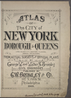
Atlas of the City of New York…
STREET INDEX: Long Island Cit…
STREET INDEX: Jamaica -- Far …
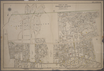
Index to Localities and Sub-D…
Outline and Index
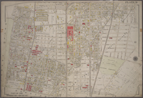
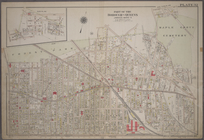
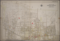
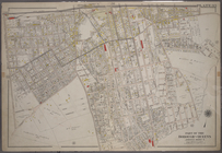
Map
of the Borough
m
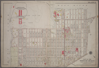
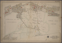
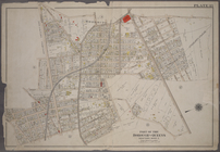
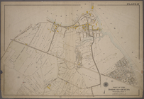
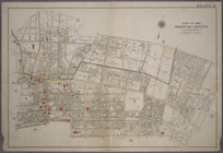
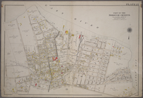
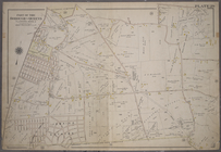
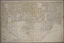
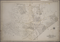
Plate 1: Bounded by (East Riv…
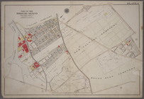
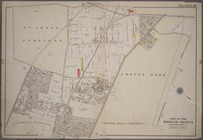
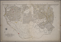
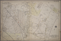
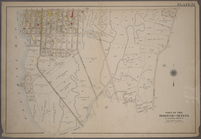
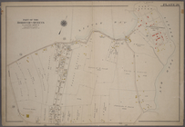
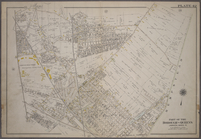
m
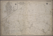
Plate 2: Bounded by (East Riv…
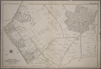
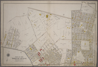
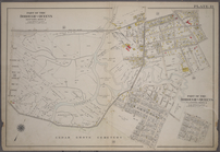
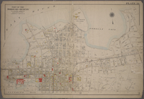
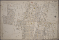
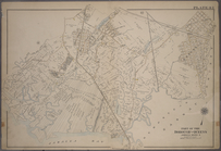
Plate 3:Bounded by (Dutch Kil…
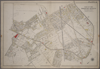
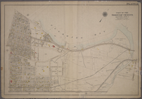
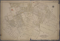
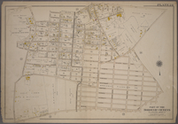
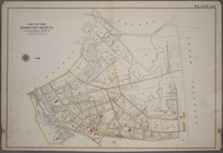
Plate 4: Bounded by Rapelje A…
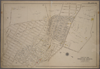
Plate 5: Bounded by (Con. Ed.…
Plate 6: Bounded by Laurel Hi…
Plate 7: Bounded by Maspeth A…
Plate 8: Bounded by Stanhope …
Plate 9: Bounded by Covert St…
Plate 10: Bounded by Trotting…
Plate 11: Bounded by Juniper …
Plate 12: Bounded by Maurice …
Plate 13: Bounded by Astoria …
Plate 14: Bounded by Railroad…
Plate 15: Bounded by Meadow R…
Plate 16: Bounded by Flushing…
Plate 17: Bounded by Bowery B…
Plate 18: Bounded by Remsen S…
Plate 19: Bounded by Long Isl…
Plate 20: Bounded by Sanford …
Plate 21: Bounded by (Mill Cr…
Plate 22: Bounded by Fifth Av…
Plate 23: Bounded by (East Ri…
Plate 24: Bounded by Third Av…
Plate 25: Bounded by (East Ri…
Plate 26: Willets Point Road …
Plate 27: Bounded by Bell Ave…
Plate 28: Bounded by Whitesto…
Plate 29: Bounded by Fresh Me…
Plate 30: Bounded by Nassau R…
Plate 31: Bounded by New York…
Plate 32: Bounded by (Forest …
Plate 33: Bounded by Atlantic…
Plate 34: Bounded by Bischoff…
Plate 35: Bounded by Johnson …
Plate 36: Bounded by (Jamaica…
Plate 37: Bounded by Atlantic…
Plate 38: Bounded by Hillside…
Plate 39: Bounded by Chichest…
Plate 40: Bounded by Old Sout…
Plate 41: Bounded by Bergen L…
Plate 42: Bounded by Central …
Plate 43: Bounded by Farmers …
Plate 44: Bounded by (Baniste…
Plate 45: Bounded by Horton P…
1
2
3
Previous
Next
1
2
3
Previous
Next