Click to visit the main New York Public Library Homepage
The New York Public Library
Digital Collections
About Digital Collections
Browse
Search only public domain materials
Items
Collections
Divisions
Home
Search
Browse
About
Search only public domain materials
Items
Collections
Divisions
Digital Collections
Using Images
Using Data
Search
Filtered keyword search
Show filters
Hide filters
Show Only Public Domain
topic
Real property
240
name
x
Robinson, E. (Elisha)
E. Robinson Co
290
Pidgeon, R. H. (Roger H.)
257
Mueller, A. H. (August H.)
55
F. Bourquin & Co
33
collection
Atlases of New York City
290
place
New York (State)
240
New York (N.Y.)
216
New York
203
Brooklyn (New York, N.Y.)
74
Staten Island (New York, N.Y.)
37
More
Less
genre
x
Maps
Index maps
5
Indexes
1
publisher
x
E. Robinson Co
division
x
Map Division
type
cartographic
290
text
1
Date Range
to
290 results found for:
x
map
Filtering on:
x
Division
: Map Division
x
Genre
: Maps
x
Name
: Robinson, E. (Elisha)
x
Publisher
: E. Robinson Co.
Sort by:
Relevance
Title
Date created
Date digitized
Sequence
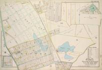
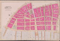
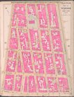
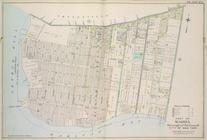
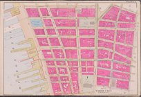
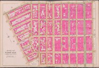
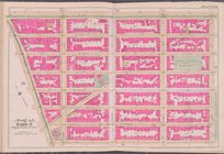
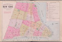
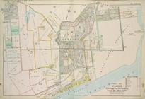
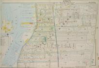
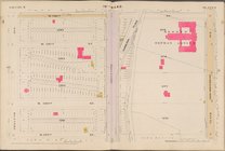
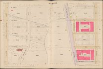
Plate 13, Part of Ward 4: [Ma…
Outline & Index
Map
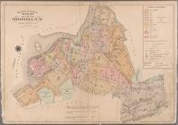
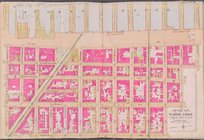
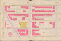
of the City of Brooklyn, Kings
Outline & Index
Map
Kings County, New York
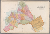
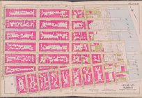
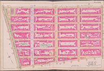
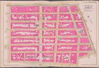
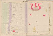
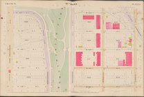
Plate 32:
Map
of the City of Brooklyn, Kings
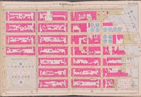
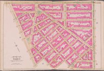
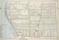
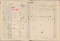
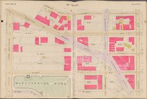
Plate 2 [
Map
bounded by Broad St
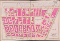
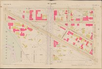
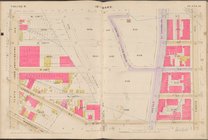
Plate 9 [
Map
bounded by Grand St
Plate 11 [
Map
bounded by Grand St., East
Plate 13 [
Map
bounded by E. Houston St
m
Plate 14 [
Map
bounded by E. Houston St
m
Plate 20 [
Map
bounded by 7th St., East
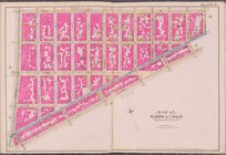
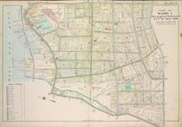
Plate 15, Part of Ward 4: [Ma…
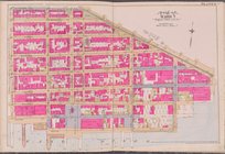
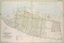
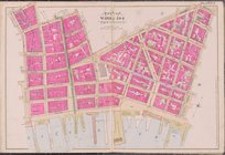
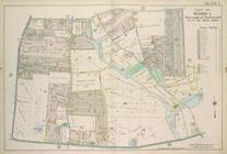
Plate 16, Part of Ward 4: [Ma…
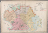
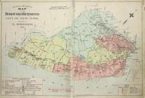
Outline & Index
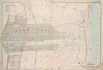
Map
of The Borough of Richmond City
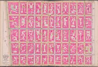
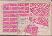
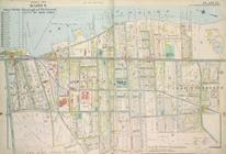
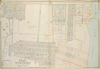
Plate 22, Part of Ward 5: [Ma…
Plate 23, Part of Ward 5: [Ma…
Plate 1 [
Map
bounded by Hudson River
Plate 3 [
Map
bounded by Barclay St
Plate 4 [
Map
bounded by Cold St
Plate 5 [
Map
bounded by Worth St., New
Plate 6 [
Map
bounded by Hudson River
Plate 7 [
Map
bounded by Hudson River
Plate 8 [
Map
bounded by Grand St
Plate 10 [
Map
bounded by E. Broadway
Plate 12 [
Map
bounded by Stanton St
m
Plate 15 [
Map
bounded by W. Houston St
m
Plate 16 [
Map
bounded by Hudson River
m
Plate 19 [
Map
bounded by E. 7th St., Ave
m
Plate 21 [
Map
bounded by E. 14th St
m
Plate 22 [
Map
bounded by E. 14th St
m
Plate 23 [
Map
bounded by W. 14th St
collection:
Plate 23 [
Map
bounded by W. 14th St., 4
Plate 24 [
Map
bounded by W. 14th St
collection:
Plate 24 [
Map
bounded by W. 14th St., 6
m
Plate 25 [
Map
bounded by Hudson River, W
m
Outline & index
map
of the City of New York, lying
Plate 4, Part of Ward 1. [
Map
bound
Plate 7, Part of Ward 1: [Map…
Plate 12, Part of Ward 4: [Ma…
Plate 14, Part of Ward 4: [Ma…
Plate 3, Part of Ward 1 : [Ma…
Plate 17, Part of Ward 4: [Ma…
Plate 25, Part of Ward 5: [Ma…
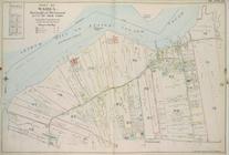
Plate 31, Part of Ward 3: [Ma…
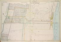
Map
bounded by 10th Ave., W. 114th St
Map
bounded by W. 122nd St., 10th Ave
Map
bounded by W. 130th St., 10th Ave
Map
bounded by W. 138th St., 10th Ave., W
collection:
Map
bounded by W. 138th St., 10th Ave
Map
bounded by W. 122nd St., 8th Ave., W
Map
bounded by W. 126th St., 8th Ave., W
Map
bounded by W. 130th St., 8th Ave
Map
bounded by W. 138th St., 8th Ave., W
Map
bounded by W. 122nd St., Lenox Ave., W
collection:
Map
bounded by W. 122nd St., Lenox Ave
1
2
Previous
Next
1
2
Previous
Next