Click to visit the main New York Public Library Homepage
The New York Public Library
Digital Collections
About Digital Collections
Browse
Search only public domain materials
Items
Collections
Divisions
Home
Search
Browse
About
Search only public domain materials
Items
Collections
Divisions
Digital Collections
Using Images
Using Data
Search
Filtered keyword search
Show filters
Hide filters
Show Only Public Domain
topic
Maps
71
Geography
46
Atlases, British
44
Ethnology
4
Nautical charts
4
More
Less
name
Thornton, Samuel
173
Mitchell, S. Augustus (Samuel Augustus), 1792-1868
50
Carey, Mathew, 1760-1839
44
Dunn, Samuel, d. 1794
44
Manning, Thomas S
44
More
Less
collection
x
Atlases, gazetteers, guidebooks and other books
place
Switzerland
63
Italy
42
Europe
30
Atlantic Ocean
22
English Channel
18
More
Less
genre
x
Maps
Nautical charts
174
Atlases
3
Illustrations
1
Prints
1
publisher
S. A. Mitchell, jr
50
Printed for Robert Sayer, No. 53, Fleet-Street
44
M. Carey
44
P. Goos
41
Printed for John Stockdale, Piccadilly. T. Gillett, Printer, Salisbury Square
28
More
Less
division
x
Map Division
type
cartographic
483
text
5
still image
4
Date Range
to
Looking for this collection?
Atlases, gazetteers, guidebooks and other books
572 items
488 results found for:
x
map
Filtering on:
x
Division
: Map Division
x
Genre
: Maps
x
Collection
: Atlases, gazetteers, guidebooks and other books
For more collection details, visit the
Atlases, gazetteers, guidebooks and other books collection page
.
Sort by:
Relevance
Title
Date created
Date digitized
Sequence
Results 251 - 300
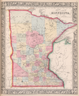
County
map
of Minnesota.
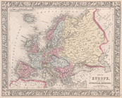
Map
of Europe, showing its gt. political
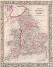
County
map
of England and Wales.
Map
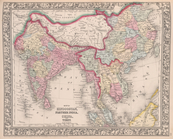
of Hindoostan, Farther India, China
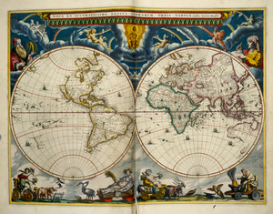
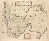
Circuli Supe. Saxoniae Pars M…
image:
psnypl_
map
_308
Map
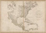
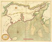
of North America, published under
Blatt II: Belfort, Basel
Blatt III: Liestal, Schaffhau…
Blatt VII: Porrentruy, Soloth…
Blatt X: Feldkirch, Arlberg
Blatt XI: Pontarlier, Yverdon
Blatt XII: Freyburg, Bern
Blatt XIII: Interlaken, Sarne…
Blatt XIV: Altorf, Chur
Blatt XV: Davos, Martinsbruck
Blatt XVI: Geneve, Lausanne
Blatt XVII: Vevey, Sion
Blatt XIX: Bellinzona, Chiave…
Blatt XX: Sondrio, Bormio
Blatt XXII: Martigny, Aoste
Blatt XXIV: Lugano, Como
Dominii Veneti in Italia.
image:
psnypl_
map
_311
Blatt XVIII: Brieg, Airolo
Vallesia Superior
collection:
Maps
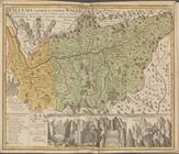
of Switzerland and Italy
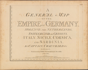
A general
map
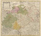
of the empire of Germany
topic:
Maps
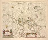
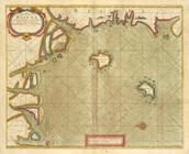
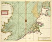
Pascaart van de Noort zee.
Pas-caart van de Oost zee.
Pascaarte van de Zuyder-zee.
Pascaart van Europa.
A large draught from Benjar o…
A new and correct chart of pa…
A new and correct chart shewi…
A chart of coast of BIAFRA fr…
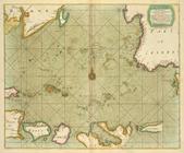
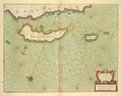
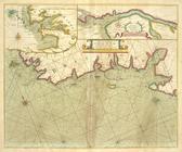
A chart of Islands Corfu, Pac…
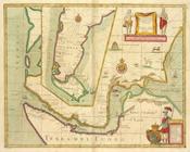
The sea coast of VALENCIA and…
the Island of Keduyn; the Riv…
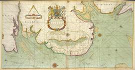
A chart of the Seacoasts of E…
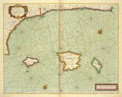
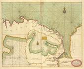
A chart of the sands, shoals,…
A chart of the sea coast of I…
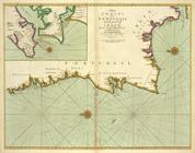
The sea coast of FRANCE from …
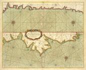
The chart of sea coasts BISCA…
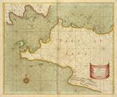
The coasts of PORTUGALL and p…
A new mapp of MAGELLAN STRAIG…
A large draught of the GULF O…
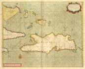
A chart of the Iland of HISPA…
Iles Marianes
m
Terra Sancta quae in Sacris T…
image:
ps_
map
_192
Ethnographic
map
of the world showing
An accurate
map
of England and Wales
Blatt IV: Frauenfeld, St. Gal…
1
2
Previous
Next
1
2
Previous
Next