Click to visit the main New York Public Library Homepage
The New York Public Library
Digital Collections
About Digital Collections
Browse
Search only public domain materials
Items
Collections
Divisions
Home
Search
Browse
About
Search only public domain materials
Items
Collections
Divisions
Digital Collections
Using Images
Using Data
Search
Filtered keyword search
Show filters
Hide filters
Show Only Public Domain
topic
Maps
71
Geography
46
Atlases, British
44
Ethnology
4
Nautical charts
4
More
Less
name
Thornton, Samuel
173
Mitchell, S. Augustus (Samuel Augustus), 1792-1868
50
Carey, Mathew, 1760-1839
44
Dunn, Samuel, d. 1794
44
Manning, Thomas S
44
More
Less
collection
x
Atlases, gazetteers, guidebooks and other books
place
Switzerland
63
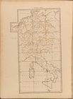
Italy
42
Europe
30
Atlantic Ocean
22
English Channel
18
More
Less
genre
x
Maps
Nautical charts
174
Atlases
3
Illustrations
1
Prints
1
publisher
S. A. Mitchell, jr
50
Printed for Robert Sayer, No. 53, Fleet-Street
44
M. Carey
44
P. Goos
41
Printed for John Stockdale, Piccadilly. T. Gillett, Printer, Salisbury Square
28
More
Less
division
x
Map Division
type
cartographic
483
text
5
still image
4
Date Range
to
Looking for this collection?
Atlases, gazetteers, guidebooks and other books
572 items
488 results found for:
x
map
Filtering on:
x
Division
: Map Division
x
Genre
: Maps
x
Collection
: Atlases, gazetteers, guidebooks and other books
For more collection details, visit the
Atlases, gazetteers, guidebooks and other books collection page
.
Sort by:
Relevance
Title
Date created
Date digitized
Sequence
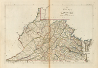
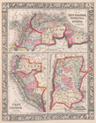
A correct
map
of Virginia
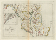
Maryland
collection:
… a collection of
maps
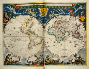
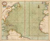
A generall chart of the South…
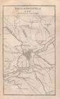
Philadelphia and adjacent cou…
note:
… to Early
Maps
of the Middle
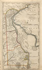
Delaware, from the best autho…
collection:
… a collection of
maps
County
map
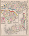
of North Carolina,
Map
of South
Map
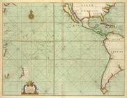
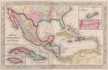
of Mexico
A new mapp of East and West N…
Part of New England, New York…
A new and correct chart from …
Index
Map
topic:
Maps
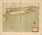
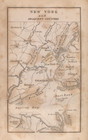
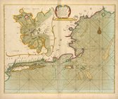
New York and adjacent country.
note:
… to Early
Maps
of the Middle
Baltimore, Annapolis, and adj…
note:
… to Early
Maps
of the Middle
DARTMOUTH
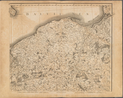
Plate XIII: A general map of …
topic:
Maps
Map
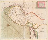
of New Granada
A large draught of New Englan…
A new chart of the sea coast …
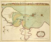
The city and harbour of CADIZ
note:
… edge of the
map
.
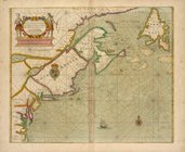
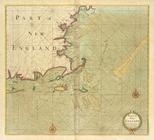
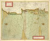
Part of NEW ENGLAND
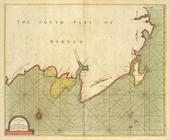
A large draught of the south …
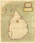
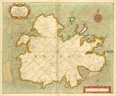
A new mapp of the Island of Z…
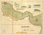
A large draught of the GOLF o…
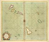
A chart of THE ISLES off CAPE…
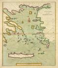
A new chart of the ARCHIPELAGO
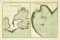
Bay of Touloun ; Bay of Marce…
A chart of JUTLAND and the Is…
A new and correct Mapp of the…
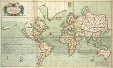
topic:
World
maps
The Chart of FINMARCK from Dr…
The coast of NORWAY; between …
A chart of the EAST-SEA
A chart of coast SWEDEN from …
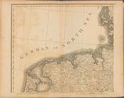
A chart of the NORTH SEA
The cheife Harbours in the Is…
Moray Firth and Sutherland, S…
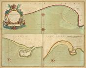
BURLINGTON BAY, Scarbrouth an…
The River Humber
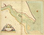
A Large Draught of the DOWNES
A new chart of the IRISH SEA
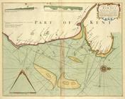
The county of Waterford
The Harbour of Corke.
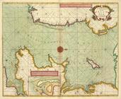
The River of BOURDEAUX and Ba…
The Iland of Babados ; Island…
A large chart of the Island A…
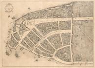
Redraft of the Castello Plan,…
image:
psnypl_
map
_301
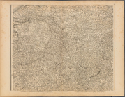
Plate I: A general map of the…
topic:
Maps
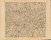
Plate II: A general map of th…
topic:
Maps
Plate III: A general map of …
topic:
Maps
Plate V: A general map of the…
topic:
Maps
Plate VI: A general map of th…
topic:
Maps
1
2
Previous
Next
1
2
Previous
Next