Click to visit the main New York Public Library Homepage
The New York Public Library
Digital Collections
About Digital Collections
Browse
Search only public domain materials
Items
Collections
Divisions
Home
Search
Browse
About
Search only public domain materials
Items
Collections
Divisions
Digital Collections
Using Images
Using Data
Search
Filtered keyword search
Show filters
Hide filters
Show Only Public Domain
topic
x
City planning
Social conditions
942
Streets
11
Piers
10
Real property
10
More
Less
name
M.I.T. Press
942
New York (N.Y.). City Planning Commission
942
New York (N.Y.). Common Council
78
Valentine, D. T. (David Thomas), 1801-1869
14
Hayward, George, b. ca. 1800
10
More
Less
collection
Atlases of New York City
942
Maps of New York City and State
124
Maps of North America
18
place
New York (N.Y.)
1062
New York (State)
989
New York
964
Central Park (New York, N.Y.)
63
Manhattan (New York, N.Y.)
53
More
Less
genre
x
Maps
Manuscript maps
12
Cadastral maps
6
Topographic maps
2
Aerial views
1
More
Less
publisher
MIT Press
942
publisher not identified
6
Department of Public Works
2
G. Wm. Baist, Map Publisher
2
G.W. & C.B. Colton & Co
2
More
Less
division
x
Map Division
type
still image
942
cartographic
142
Date Range
to
Looking for this collection?
Maps of New York City and State
2,059 items
1,084 results found for:
x
map
Filtering on:
x
Division
: Map Division
x
Genre
: Maps
x
Topic
: City planning
Sort by:
Relevance
Title
Date created
Date digitized
Sequence
Key
map
Key
map
Key
map
Key
map
Key
map
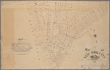
Map
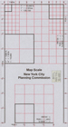
Scale New York City Planning
Map
of the Melrose addition to Roanoke City
note:
Prepared by G. Wm. Baist,
Map
Publisher.
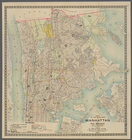
Map
of the boroughs of Manhattan and the Bronx
Manuscript
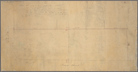
map
of corner of Duane Street
note:
Map
consists mostly of lines and figures
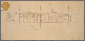
Paving
map
[Reade Street from Hudson Street
note:
… at top left corner of
map
.
Proposed Harlem River Drive f…
collection:
Maps
of New York City and State
City of New Manhattan : propo…
collection:
Maps
of New York City and State
Proposed parks and parkways: …
note:
Mapping
the Nation (NEH grant, 2015-2018)…
m
Map
of New York City
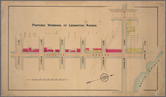
Proposed widening of Lexingto…
collection:
Paving
map
: proposed widening
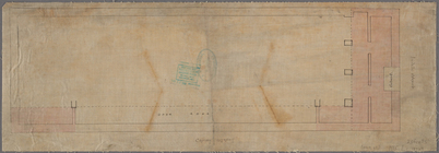
Manuscript
map
of corner of Crosby Street
City planning commission
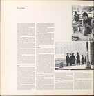
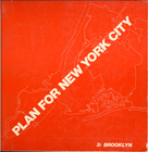
Brooklyn
Brooklyn (cont.)
Brooklyn (cont.)
Brooklyn (cont.)
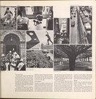
Brooklyn
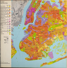
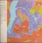
Brooklyn land use policy
Brooklyn neighborhood improve…
Brooklyn public schools
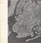
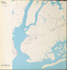
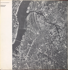
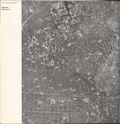
Brooklyn Topography
Cover Page
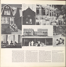
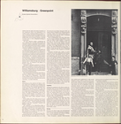
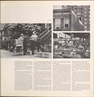
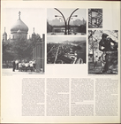
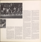
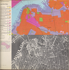
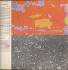
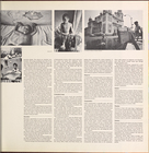
Williamsburg, Greenpoint.
Williamsburg, Greenpoint. (co…
Williamsburg, Greenpoint. (co…
Williamsburg, Greenpoint. (co…
Williamsburg, Greenpoint. (co…
Williamsburg, Greenpoint. (co…
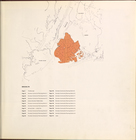
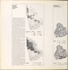
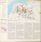
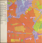
Land use policy
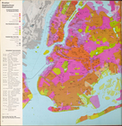
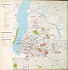
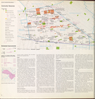
Community resources
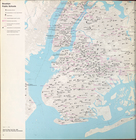
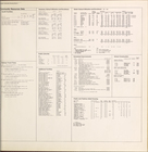
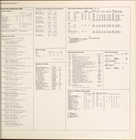
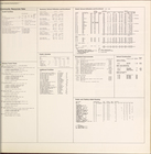
Community resources data
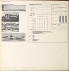
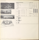
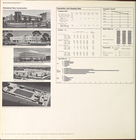
Scheduled new construction
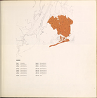
Land use policy
Community resources
Community resources data
Scheduled new construction
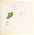
Land use policy
Community resources
Community resources data
Scheduled new construction
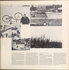
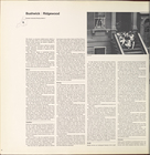
Bushwick, Ridgewood.
Bushwick, Ridgewood. (cont.)
Bushwick, Ridgewood. (cont.)
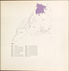
Land use policy
Community resources
1
2
3
4
5
Previous
Next
1
2
3
4
5
Previous
Next