Click to visit the main New York Public Library Homepage
The New York Public Library
Digital Collections
About Digital Collections
Browse
Search only public domain materials
Items
Collections
Divisions
Home
Search
Browse
About
Search only public domain materials
Items
Collections
Divisions
Digital Collections
Using Images
Using Data
Search
Filtered keyword search
Show filters
Hide filters
Show Only Public Domain
topic
Real property
543
Street addresses
4
name
x
E.B. Hyde & Co
Ullitz, Hugo
539
E. Belcher Hyde Map Company
421
collection
Atlases of New York City
543
place
x
Brooklyn (New York, N.Y.)
New York
543
New York (State)
543
Maps
296
genre
Maps
499
Indexes
24
Title pages
14
Tables
5
Tables (Data)
4
More
Less
publisher
E. Belcher Hyde
421
E.B. Hyde & Co
118
E. Belcher Hyde Map Co
4
division
x
Map Division
type
cartographic
513
text
47
still image
1
Date Range
to
543 results found for:
x
map
Filtering on:
x
Division
: Map Division
x
Name
: E.B. Hyde & Co.
x
Place
: Brooklyn (New York, N.Y.)
Sort by:
Relevance
Title
Date created
Date digitized
Sequence
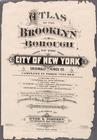
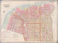
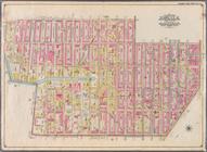
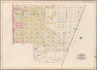
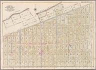
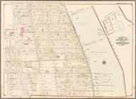
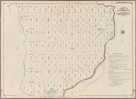
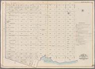
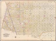
Atlas of the Brooklyn borough…
collection:
… ... based upon official
maps
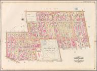
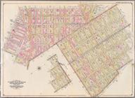
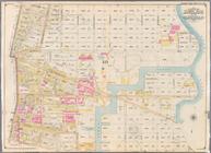
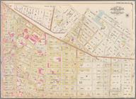
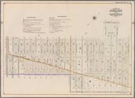
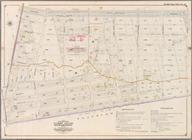
Bounded by Flushing Avenue, W…
collection:
Part of Wards 11 & 20. Land
Map
Section
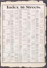
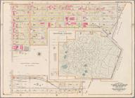
Index to Streets. Aberdeen St…
collection:
… ... based upon official
maps
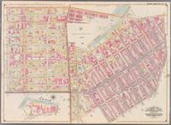
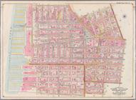
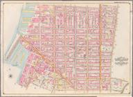
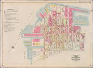
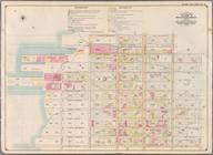
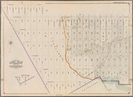
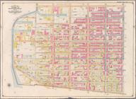
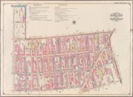
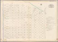
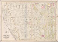
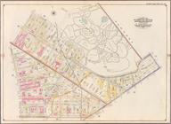
Bounded by Washington Avenue,…
collection:
Part of Wards 7 & 19. Land
Map
Sections
Index to Streets. Kanu Place …
collection:
… ... based upon official
maps
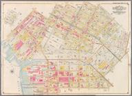
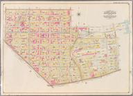
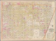
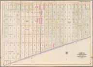
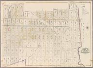
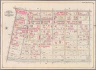
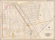
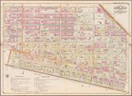
Bounded by Heyward Street, Ha…
collection:
Part of Wards 19 & 21. Land
Map
Sections
Index
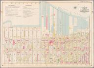
Map
to Volume One. Atlas
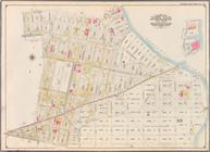
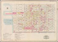
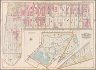
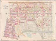
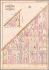
Bounded by (East River Piers)…
collection:
Part of Wards 13 & 14. Land
Map
Section
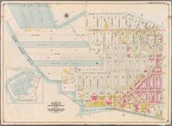
Bounded by Marshall St., Litt…
collection:
Wards 2 & 5 and Part of 1 &4. Land
Map
Bounded by Marcy Ave., Metrop…
collection:
…
Map
Sections, No. 8
Bounded by Clark St., Fulton …
collection:
Part of Wards 1,3,4,6 &10. Land
Map
Bounded by Manhattan Avenue, …
collection:
Part of Wards 14, 15 & 17. Land
Map
Bounded by Smith St., Bergen …
collection:
Part of Wards 3 & 10. Land
Map
Sections
Bounded by (New Town Creek) C…
collection:
Part of Ward 17. Land
Map
Section, No. 9
Bounded by Baltic St., Court …
collection:
Part of Wards 6,10 & 12. Land
Map
Section
Bounded by Meserole Avenue, F…
collection:
Part of Wards 17 & 18. Land
Map
Sections
Bounded by Ostego St., Dwight…
collection:
Part of Ward 12. Land
Map
Section, No. 2
Bounded by Richardson Street,…
collection:
Part of Wards 16 & 18, Land
Map
Section
Bounded by (Buttermilk Channe…
collection:
Part of Ward 12. Land
Map
Section, No. 2
Bounded by Ten Eyck Street, B…
collection:
Part of Wards 16 & 18. Land
Map
Section
Bounded by Second Ave., Twent…
collection:
Part of Ward 8. Land
Map
Section, No. 3
Bounded by Flushing Avenue, M…
collection:
Part of Wards 18 & 27. Land
Map
Sections
Bounded by Thirty Seventh St.…
collection:
Part of Ward 8. Land
Map
Section, No. 3
Bounded by Dekalb Avenue, Cyp…
collection:
Part of Wards 27 & 28. Land
Map
Section
Bounded by Forty Ninth St., S…
collection:
Part of Ward 8. Land
Map
Section, No. 3
Bounded by Cornelia Street, I…
collection:
Part of Wards 28. Land
Map
Section, No
Bounded by Sixth Ave., Thirty…
collection:
Part of Wards 8 & 30. Land
Map
Section
Bounded by Livonia Avenue, Ho…
collection:
Part of Wards 26 & 32. Land
Map
Section
Bounded by Prospect Avenue, E…
collection:
Part of Wards 8, 22,29 & 30. Land
Map
Bounded by Jamaica Avenue, Mi…
collection:
Part of Ward 26. Land
Map
Sections, Nos
Bounded by Third Street, Seve…
collection:
Part of Ward 22. Land
Map
Section, No. 4
Bounded by Pitkin Avenue, Ber…
collection:
Part of Ward 26. Land
Map
Sections, Nos
Bounded by Seventh Avenue, Ca…
collection:
Part of Wards 9, 22 & 29. Land
Map
Sections
Bounded by Dresden Street, Fo…
collection:
Part of Ward 26. Land
Map
Section, No
Bounded by (Gowanus Canal) Th…
collection:
Part of Wards 9, 22 . Land
Map
Section, No. 4
Bounded by Atlantic Avenue, E…
collection:
Part of Ward 26. Land
Map
Section, No
Bounded by Atlantic Avenue, F…
collection:
Part of Wards 9, 22 . Land
Map
Section, No. 4
Bounded by Dumont Avenue, Sap…
collection:
Part of Ward 26. Land
Map
Section, No
Bounded by Eastern Parkway, A…
collection:
Part of Wards 24 & 29. Land
Map
Section
Bounded by Fountain Avenue, V…
collection:
Part of Ward 26. Land
Map
Section, No
Bounded by Atlantic Avenue, A…
collection:
Part of Ward 24. Land
Map
Section, No. 5
Bounded by Barbey Street, Van…
collection:
Part of Ward 26. Land
Map
Section, No
Bounded by Albany Avenue, Atl…
collection:
Part of Wards 24 & 29. Land
Map
Section
Reference Plate of Strips for…
collection:
… ... based upon official
maps
Bounded by Rockaway Avenue, E…
collection:
Part of Wards 24, 26, 29 & 32. Land
Map
Bounded by Williams Avenue, R…
collection:
Part of Wards 24, 26 & 29. Land
Map
Bounded by Evergreen Avenue, …
collection:
Part of Wards 25, 26 & 28. Land
Map
Bounded by Hancock Street, Br…
collection:
Part of Wards 23 & 25. Land
Map
Section
Bounded by Lexington Avenue, …
collection:
Part of Ward 23. Land
Map
Section, No. 6
Bounded by Broadway, Hancock …
collection:
Part of Wards 21 & 25. Land
Map
Section
1
2
3
Previous
Next
1
2
3
Previous
Next