Click to visit the main New York Public Library Homepage
The New York Public Library
Digital Collections
About Digital Collections
Browse
Search only public domain materials
Items
Collections
Divisions
Home
Search
Browse
About
Search only public domain materials
Items
Collections
Divisions
Digital Collections
Using Images
Using Data
Search
Filtered keyword search
Show filters
Hide filters
Show Only Public Domain
topic
Fire insurance
5092
Real property
5091
Cities & towns
5007
Harbors
1
Wharves
1
name
x
Sanborn Map Company
collection
x
Atlases of New York City
place
New York (State)
5092
New York
85
Staten Island (New York, N.Y.)
84
genre
Maps
5080
Indexes
10
Title pages
5
Keys (Legends)
4
Index maps
1
publisher
Sanborn Map Company
5010
Sanborn Map Co
84
Sanborn Map Company.
1
division
x
Map Division
type
cartographic
5080
text
15
Date Range
to
5,095 results found for:
x
map
Filtering on:
x
Division
: Map Division
x
Name
: Sanborn Map Company
x
Collection
: Atlases of New York City
For more collection details, visit the
Atlases of New York City collection page
.
Sort by:
Relevance
Title
Date created
Date digitized
Sequence
Results 5001 - 5050
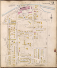
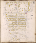
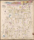
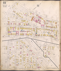
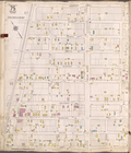
Staten Island, V. 1, Plate No. 53 [
Map
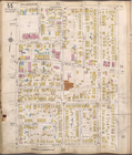
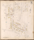
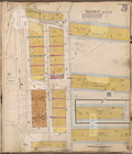
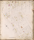
Staten Island, V. 1, Plate No. 54 [
Map
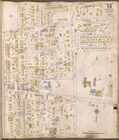
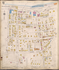
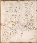
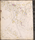
Staten Island, V. 1, Plate No. 55 [
Map
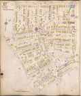
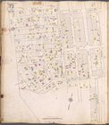
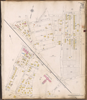
Staten Island, V. 1, Plate No. 56 [
Map
Staten Island, V. 1, Plate No. 57 [
Map
Staten Island, V. 1, Plate No. 58 [
Map
Staten Island, V. 1, Plate No. 59 [
Map
Staten Island, V. 1, Plate No. 60 [
Map
Staten Island, V. 1, Plate No. 61 [
Map
Staten Island, V. 1, Plate No. 62 [
Map
Staten Island, V. 1, Plate No. 63 [
Map
Staten Island, V. 1, Plate No. 64 [
Map
Staten Island, V. 1, Plate No. 65 [
Map
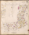
Staten Island, V. 1, Plate No. 68 [
Map
Staten Island, V. 1, Plate No. 69 [
Map
Staten Island, V. 1, Plate No. 70 [
Map
Staten Island, V. 1, Plate No. 72 [
Map
Staten Island, V. 1, Plate No. 73 [
Map
Staten Island, V. 1, Plate No. 75 [
Map
Staten Island, V. 1, Plate No. 76 [
Map
Staten Island, V. 1, Plate No. 77 [
Map
Staten Island, V. 1, Plate No. 78 [
Map
Staten Island, V. 1, Plate No. 79 [
Map
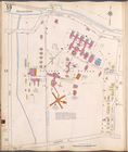
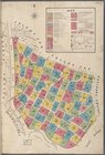
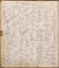
Index
collection:
Insurance
maps
of New York [1884-]
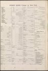
Index
collection:
Insurance
maps
of New York [1884-]
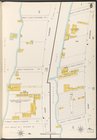
Key
collection:
Insurance
maps
of New York [1884-]
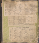
Index
collection:
Insurance
maps
of New York [1884-]
Key
collection:
Insurance
maps
of New York [1884-]
Index
collection:
Insurance
maps
of New York [1884-]
Key
collection:
Insurance
maps
of New York [1884-]
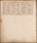
Index
collection:
Insurance
maps
of New York [1884-]
Key
collection:
Insurance
maps
of New York [1884-]
Index
collection:
Insurance
maps
of New York [1884-]
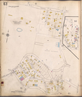
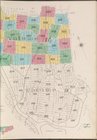
Index
collection:
Insurance
maps
of Staten Island, Borough
Index (cont.)
collection:
Insurance
maps
of Staten Island, Borough
Index
collection:
Insurance
maps
of Staten Island, Borough
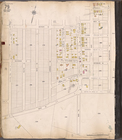
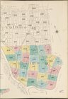
Map
bounded by Atlantic Ocean, W.32nd St
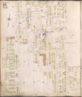
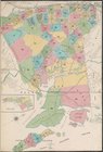
Bronx, V. 9, Double Page Plate No. 185 [
Map
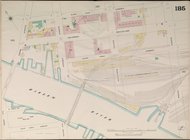
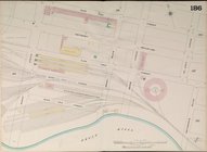
Bronx, V. 9, Double Page Plate No. 186 [
Map
Bronx, V. 9, Double Page Plate No. 187 [
Map
Bronx, V. 9, Double Page Plate No. 189 [
Map
Bronx, V. 9, Double Page Plate No. 190 [
Map
Bronx, V. 9, Double Page Plate No. 191 [
Map
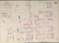
Bronx, V. 9, Double Page Plate No. 192 [
Map
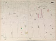
Bronx, V. 9, Double Page Plate No. 197 [
Map
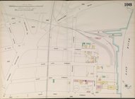
Bronx, V. 9, Double Page Plate No. 198 [
Map
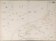
Bronx, V. 9, Double Page Plate No. 201 [
Map
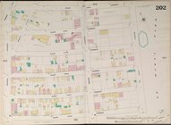
Bronx, V. 9, Double Page Plate No. 202 [
Map
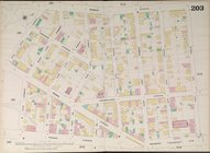
Bronx, V. 9, Double Page Plate No. 203 [
Map
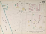
Bronx, V. 9, Double Page Plate No. 205 [
Map
1
2
…
12
13
14
15
16
17
18
19
20
21
Previous
Next
1
2
…
12
13
14
15
16
17
18
19
20
21
Previous
Next