Click to visit the main New York Public Library Homepage
The New York Public Library
Digital Collections
About Digital Collections
Browse
Search only public domain materials
Items
Collections
Divisions
Home
Search
Browse
About
Search only public domain materials
Items
Collections
Divisions
Digital Collections
Using Images
Using Data
Search
Filtered keyword search
Show filters
Hide filters
Show Only Public Domain
topic
Real property
468
Maps
87
Administrative and political divisions
1
name
x
Bromley, George Washington
Bromley, Walter Scott
856
G.W. Bromley & Co
785
Boston (Mass.)
1
Geo. H. Walker & Co
1
collection
Atlases of New York City
787
Atlases of the United States
69
Maps of North America
1
place
New York
468
New York (State)
468
Manhattan (New York, N.Y.)
405
New York (N.Y.)
230
Bronx (New York, N.Y.)
202
More
Less
genre
Maps
830
Atlases
69
Indexes
61
Index maps
16
Title pages
13
More
Less
publisher
G.W. Bromley & Co
738
G.W. Bromley and Co.,
69
G.W. Bromley
49
publisher not identified
1
division
x
Map Division
type
cartographic
797
text
75
still image
3
Date Range
to
857 results found for:
x
map
Filtering on:
x
Division
: Map Division
x
Name
: Bromley, George Washington
Sort by:
Relevance
Title
Date created
Date digitized
Sequence
Results 751 - 800
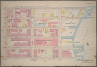
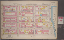
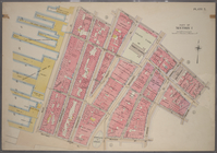
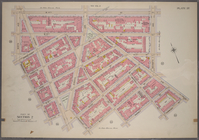
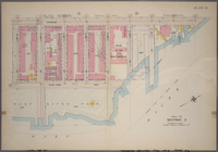
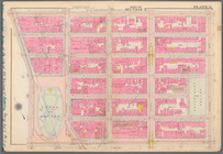
Plate 36, Part of Sections 5&…
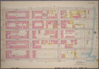
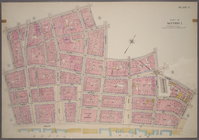
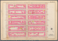
Plate 37, Part of Section 6: …
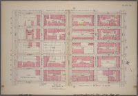
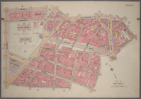
Plate 38, Part of Section 6: …
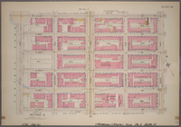
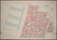
Plate 39, Part of Section 6: …
Plate 40, Part of Section 6: …
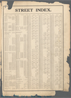
Street Index
note:
Maps
partially
Bounded by Plymouth Street, W…
topic:
Maps
Bounded by 60th St., Seventh …
topic:
Maps
Bounded by Mackay Pl., 1st Av…
topic:
Maps
Bounded by 58th Street, West …
topic:
Maps
Bounded by 72nd Street, 22nd …
topic:
Maps
Bounded by Terrace Place, 11t…
topic:
Maps
Bounded by Winthrop Street, (…
topic:
Maps
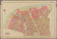
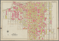
Atlas of city of New York Man…
Bounded by (New York Bay Pier…
topic:
Maps
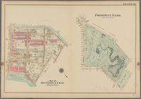
Prospect Park Bounded by (Ins…
topic:
Maps
Bounded by Park Place, East N…
topic:
Maps
Bounded by Linwood St., Cozin…
topic:
Maps
Bounded by Stanley Ave., Mill…
topic:
Maps
Coney Island. Bounded by Cana…
topic:
Maps
Bounded by Avenue V., Knapp S…
topic:
Maps
Bounded by Avenue P., E. 31st…
topic:
Maps
Bounded by Rockaway Avenue, R…
topic:
Maps
Bounded by Avenue D., Ralph A…
topic:
Maps
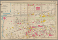
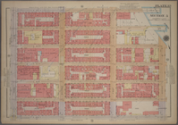
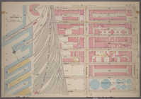
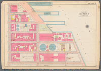
Plate 43, Part of Ward 3 [
Map
bound
Plate 26, Part of Ward 1 [
Map
bound
Plate 24, Part of Wards 1 & 3 [
Map
bound
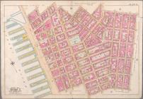
Bounded by Charles Street, Wa…
Bounded by W. 14th Street, Si…
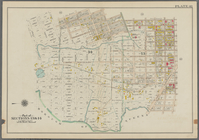
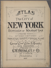
Atlas of the city of New York…
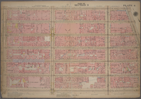
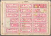
Plate 3, Part of Section 3: […
Plate 4, Part of Section 3: […
Plate 11, Part of Section 3: …
Atlas of the city of New York…
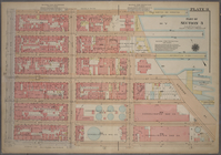
Plate 33, Part of Section 5: …
Atlas of the city of New York…
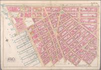
Bounded by Carlisle Street, G…
Bounded by William Street, An…
Bounded by Reade Street, Duan…
Bounded by Jane Street, Washi…
Bounded by W. 14th Street, Se…
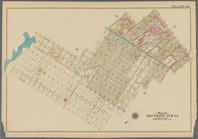
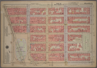
Atlas of the city of New York…
Atlas of the city of New York…
Plate 3, Part of Section 4: […
Plate 32, Part of Section 5: …
List of Correction dates of t…
note:
Maps
partially
m
Plate 1, Part of Section 3: […
note:
Maps
partially
m
Plate 2, Part of Section 3: […
note:
Maps
partially
m
Plate 3, Part of Section 3: […
note:
Maps
partially
m
Plate 5, Part of Section 3: […
note:
Maps
partially
1
2
3
4
Previous
Next
1
2
3
4
Previous
Next