Click to visit the main New York Public Library Homepage
The New York Public Library
Digital Collections
About Digital Collections
Browse
Search only public domain materials
Items
Collections
Divisions
Home
Search
Browse
About
Search only public domain materials
Items
Collections
Divisions
Digital Collections
Using Images
Using Data
Search
Filtered keyword search
Show filters
Hide filters
Show Only Public Domain
topic
x
Landowners
Real property
34
name
x
Burr, David H., 1803-1875
Rawdon, Clark & Co
34
Rawdon, Wright & Co
34
New York (State). Surveyor General
23
De Witt, Simeon, 1756-1834
22
More
Less
collection
Atlases of the United States
33
Maps of New York City and State
2
place
New York (State)
35
New York (N.Y.)
33
New York Metropolitan Area
11
Albany County
3
Greene County
3
More
Less
genre
Maps
35
Atlases
33
Cadastral maps
2
publisher
D. H. Burr
11
Stone and Clark
11
Stone and Clark,
11
A.G. Gillett Publisher
1
Rawdon, Wright & Co
1
More
Less
division
x
Map Division
type
cartographic
35
Date Range
to
35 results found for:
x
map
Filtering on:
x
Division
: Map Division
x
Name
: Burr, David H., 1803-1875
x
Topic
: Landowners
Sort by:
Relevance
Title
Date created
Date digitized
Sequence
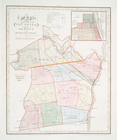
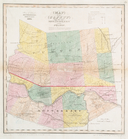
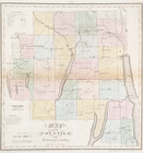
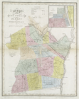
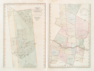
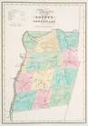
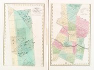
Map
of the counties of Albany and Schenectady
note:
Each
map
accompanied by a statistical
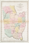
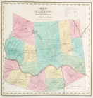
Map
of the County of Rensselaer
note:
Each
map
accompanied by a statistical
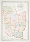
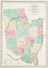
Map
of the county of Saratoga
note:
Each
map
accompanied by a statistical
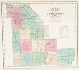
Map
of the county of Oneida
note:
Each
map
accompanied by a statistical
Map
of the county of Madison
note:
Each
map
accompanied by a statistical
Map
of the county of Ulster
note:
Each
map
accompanied by a statistical
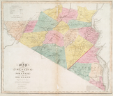
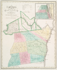
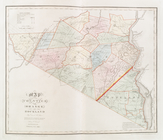
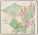
Map
of the county of Greene
note:
… to Early
Maps
of the Middle
Map
of the county of Rensselaer
note:
… to Early
Maps
of the Middle
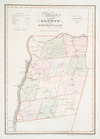
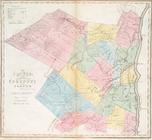
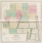
Map
of the county of Montgomery and Fulton
note:
… to Early
Maps
of the Middle
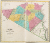
Map
of the county of Saratoga
note:
… to Early
Maps
of the Middle
Map
of the county of Herkimer
note:
… to Early
Maps
of the Middle
Map
of the county of Oneida
note:
… to Early
Maps
of the Middle
Map
of the county of Madison
note:
… to Early
Maps
of the Middle
Map
of the counties of Ontario & Yates
note:
… to Early
Maps
of the Middle
Map
of the counties of Orange and Rockland
note:
… to Early
Maps
of the Middle
Map
of the county of Ulster
note:
… to Early
Maps
of the Middle
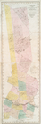
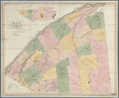
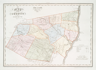
Map
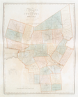
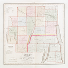
of the County of St. Lawrence
note:
Cadastral
map
showing numbered lots
Map
of the counties of Albany and Schenectady
note:
… to Early
Maps
of the Middle
Map
of the counties of Albany and Schenectady
note:
… to Early
Maps
of the Middle
Map
of the county of Greene
note:
Each
map
accompanied by a statistical
Map
of the county of Montgomery and Fulton
note:
Each
map
accompanied by a statistical
Map
of the county of Herkimer
note:
Each
map
accompanied by a statistical
Map
of the counties of Ontario & Yates
note:
Each
map
accompanied by a statistical
Map
of the counties of Orange and Rockland
note:
Each
map
accompanied by a statistical
Map
of the county of Greene
note:
… to Early
Maps
of the Middle
Map
of the County of Rensselaer
note:
… to Early
Maps
of the Middle
Map
of the county of Montgomery
note:
… to Early
Maps
of the Middle
Map
of the county of Saratoga
note:
… to Early
Maps
of the Middle
Map
of the county of Oneida
note:
… to Early
Maps
of the Middle
Map
of the county of Madison
note:
… to Early
Maps
of the Middle
Map
of the county of Ulster
note:
… to Early
Maps
of the Middle
Map
of the county of Herkimer
note:
… to Early
Maps
of the Middle
Map
of the counties of Ontario & Yates
note:
… to Early
Maps
of the Middle
Map
of the counties of Orange and Rockland
note:
… to Early
Maps
of the Middle
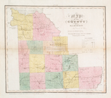
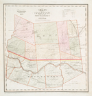
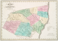
Map
of Seneca County, New York
note:
General-content county
map
showing towns
End of results
|
Top