Click to visit the main New York Public Library Homepage
The New York Public Library
Digital Collections
About Digital Collections
Browse
Search only public domain materials
Items
Collections
Divisions
Home
Search
Browse
About
Search only public domain materials
Items
Collections
Divisions
Digital Collections
Using Images
Using Data
Search
Filtered keyword search
Show filters
Hide filters
Show Only Public Domain
topic
Real property
2125
Maps
188
Administrative and political divisions
1
Landowners
1
Railroads
1
More
Less
name
x
G.W. Bromley & Co
Bromley, George Washington
468
Bromley, Walter Scott
467
Welcke, Robert A
1
collection
Atlases of New York City
2090
Atlases of the United States
89
Maps of New York City and State
1
place
x
New York (State)
New York
1701
Manhattan (New York, N.Y.)
1671
New York (N.Y.)
534
Bronx (New York, N.Y.)
339
More
Less
genre
Maps
2113
Atlases
89
Indexes
87
Index maps
43
Title pages
21
More
Less
publisher
G.W. Bromley & Co
2050
G. W. Bromley & E. Robinson
80
G.W. Bromley
49
Geo. W. Bromley & Co
1
division
x
Map Division
type
cartographic
2113
text
118
still image
1
Date Range
to
2,180 results found for:
x
map
Filtering on:
x
Division
: Map Division
x
Name
: G.W. Bromley & Co.
x
Place
: New York (State)
Sort by:
Relevance
Title
Date created
Date digitized
Sequence
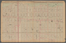
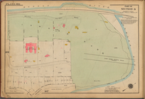
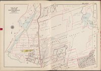
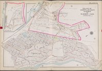
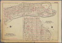
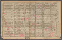
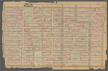
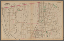
Plate 27:: [Left side bounded…
note:
Damaged. Right half of
map
missing.
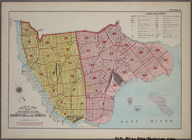
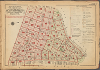
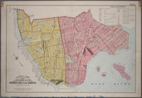
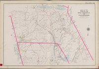
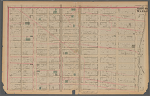
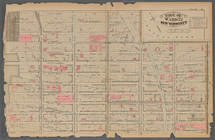
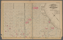
Outline & Index
Map
: Sections 9 and 10, Borough
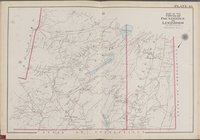
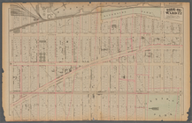
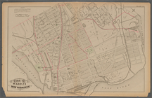
Outline & Index
Map
: Sections 11, 12 and 13
m
Outline & Index
Map
of New York City, New
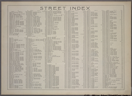
Street Index(1), Academy Plac…
Elton Avenue - Yonkers Avenue…
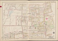
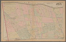
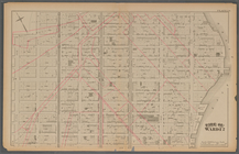
Plate 25: : [Bounded by Twelf…
Outline and Index
Map
of Volume One
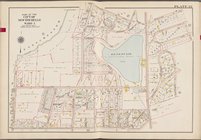
Plate 186: [Inwood Park, with…
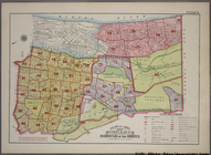
Outline and Index
Map
, Sections 9 and 10
note:
Includes 37 pages of text and 19
maps
.
… [
Map
bounded
… [
Map
bounded
… [
Map
bounded
… [
Map
bounded by Ridge
… [
Map
bounded by State
… [
Map
bounded
… [
Map
bounded by Western
… [
Map
bounded by New
… [
Map
bounded by Secor
… [
Map
bounded by Village
… [
Map
bounded
… [
Map
bounded by White
… [
Map
bounded
… [
Map
bounded by New
… [
Map
bounded by Hudson
… [
Map
bounded by Putnam
… [
Map
bounded by Village
… [
Map
bounded by Putnam
… [
Map
bounded by State
… [
Map
bounded by State
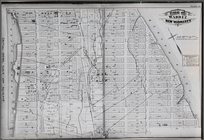
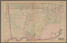
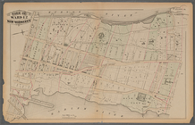
Plate 30:: [Bounded by W. 152…
note:
Photocopy reproduction of original
map
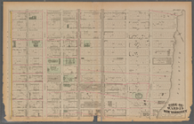
Plate 32:: [Bounded by (Hudso…
note:
Photocopy reproduction of original
map
…
Map
of Borough
Plate 21: : [Bounded by E. 86…
Plate 17:: Bounded by (Hudson…
Plate 37:: [Bounded by New Yo…
Plate 13:: [Bounded by W. 38t…
Plate 38:: [Bounded by (Harle…
Plate 31:: [Bounded by Hudson…
Plate 20:: [Bounded by E. 74t…
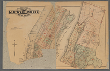
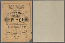
Atlas of the entire city of N…
Plate 16:: [Bounded by W. 62n…
Plate 34:: [Bounded by 156th …
Plate 24:: [Bounded by E. 120…
Plate 12:: [Bounded by W. 26t…
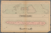
Plate 41:: [Central Park boun…
Plate 15:: [Bounded by W. 50…
Plate 29:: [Bounded by W. 133…
Plate 35:: [Bounded by Gouver…
Plate 22:: [Bounded by E. 98t…
1
2
3
4
5
6
7
8
9
Previous
Next
1
2
3
4
5
6
7
8
9
Previous
Next