Click to visit the main New York Public Library Homepage
The New York Public Library
Digital Collections
About Digital Collections
Browse
Search only public domain materials
Items
Collections
Divisions
Home
Search
Browse
About
Search only public domain materials
Items
Collections
Divisions
Digital Collections
Using Images
Using Data
Search
Filtered search
Show filters
Hide filters
Show Only Public Domain
topic
Canals
4
Cemeteries
3
Landowners
3
Administrative and political divisions
2
Fortification
2
More
Less
name
x
Gavit, John E., 1817-1874
Albany Rural Cemetery (Menands, N.Y.)
3
Johnson, Guy, approximately 1740-1788
2
McAlpine, William J. (William Jarvis)
2
Thomas, B. A
2
More
Less
collection
Maps of New York City and State
13
Maps of North America
2
place
New York (State)
14
Albany
3
Albany (N.Y.)
2
Pennsylvania
2
United States
2
More
Less
genre
Maps
15
Cadastral maps
2
Early maps
2
Early works to 1800
2
Facsimiles
2
More
Less
publisher
publisher not identified
6
Engraved & printed by John E. Gavit
2
... J.E. Gavit
1
Engraved & Printed by J. E.Gavit
1
J. Munsell
1
More
Less
division
x
Map Division
type
cartographic
15
Date Range
to
15 results found
Filtering on:
x
Division
: Map Division
x
Name
: Gavit, John E., 1817-1874
Sort by:
Title
Date created
Date digitized
Sequence
A map of a tract of land in t…
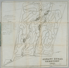
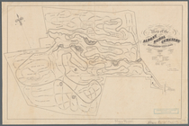
Albany Rural Cemetery
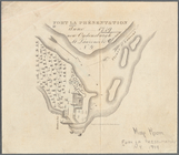
Fort la Présentation anno 174…
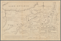
Map of Livingston Manor anno …
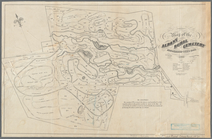
Map of the Albany Rural Cemet…
Map of the Albany Rural Cemet…
Map of the flats above Albany
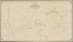
Map of the frontiers of the n…
Map of the Genesee Valley Can…
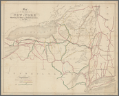
Map of the State of New-York:…
Map of the various channels f…
Map showing location of reser…
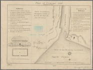
Plan of Oswego, 1727: (from P…
m
To his excellency William Try…
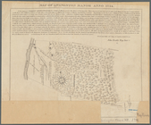
Topographical map of Seneca C…
End of results
|
Top