Click to visit the main New York Public Library Homepage
The New York Public Library
Digital Collections
About Digital Collections
Browse
Search only public domain materials
Items
Collections
Divisions
Home
Search
Browse
About
Search only public domain materials
Items
Collections
Divisions
Digital Collections
Using Images
Using Data
Search
Filtered keyword search
Show filters
Hide filters
Show Only Public Domain
topic
Real property
811
Maps
125
Administrative and political divisions
64
Railroads
64
Insurance, Fire
38
More
Less
name
E.B. Hyde & Co
543
Ullitz, Hugo
539
E. Belcher Hyde Map Company
421
G.W. Bromley & Co
124
G.M. Hopkins & Co
108
More
Less
collection
Atlases of New York City
947
Maps of New York City and State
265
place
x
Brooklyn (New York, N.Y.)
New York (State)
993
New York
969
Maps
316
New York (N.Y.)
75
More
Less
genre
Maps
1149
Title pages
31
Indexes
29
Cadastral maps
13
Manuscript maps
7
More
Less
publisher
E. Belcher Hyde
424
E.B. Hyde & Co
118
G.M. Hopkins & Co
108
G.W. Bromley & Co
87
E. Robinson Co
77
More
Less
division
x
Map Division
type
cartographic
1164
text
75
still image
6
Date Range
to
Looking for this collection?
Maps of New York City and State
2,059 items
1,212 results found for:
x
map
Filtering on:
x
Division
: Map Division
x
Place
: Brooklyn (New York, N.Y.)
Sort by:
Relevance
Title
Date created
Date digitized
Sequence
m
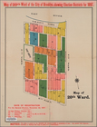
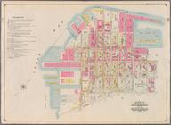
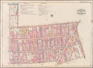
20th ward.
collection:
Maps
of New York City and State
A
map
of the village of Williamsburgh
note:
… to Early
Maps
of the Middle
A plott of ye situations of t…
note:
Facsimile of manuscript
map
.
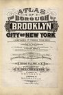
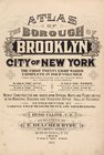
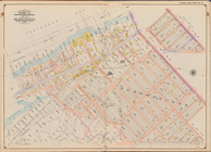
Atlas of the borough of Brook…
note:
….) Based upon official
maps
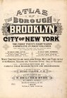
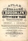
Atlas of the borough of Brook…
note:
Corrections pasted on
maps
of earlier date: V
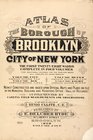
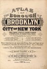
Atlas of the borough of Brook…
note:
Corrections pasted on
maps
of earlier date: V
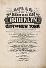
Atlas of the borough of Brook…
note:
Corrections pasted on
maps
of earlier date: V
Atlas of the borough of Brook…
note:
Corrections pasted on
maps
of earlier date: V
Atlas of the borough of Brook…
note:
Corrections pasted on
maps
of earlier date: V
Atlas of the borough of Brook…
note:
…). Based upon official
maps
Atlas of the borough of Brook…
note:
…). Based upon official
maps
Atlas of the Borough of Brook…
topic:
Maps
Atlas of the Borough of Brook…
topic:
Maps
Atlas of the borough of Brook…
note:
… official
maps
and plans
Atlas of the borough of Brook…
note:
Corrections pasted on
maps
of earlier date: V
Atlas of the borough of Brook…
note:
Corrections pasted on
maps
of earlier date: V
Atlas of the Brooklyn borough…
collection:
… ... based upon official
maps
Atlas of the Brooklyn borough…
collection:
… ... based upon official
maps
… ... based upon official
maps
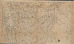
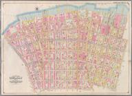
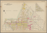
Atlas of the entire city of B…
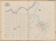
Battle of Long Island: from S…
note:
Mapping
the Nation (NEH grant, 2015-2018)…
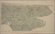
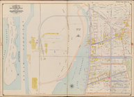
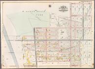
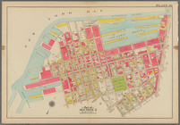
Bird's-eye view of the boroug…
collection:
Maps
of New York City and State
m
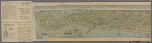
Birdseye view of Coney Island…
collection:
Maps
of New York City and State
Block Index, [Front]
note:
Corrections pasted on
maps
of earlier date: V
Block Index, [Front]
note:
Corrections pasted on
maps
of earlier date: V
Block Index, [Front]
note:
Corrections pasted on
maps
of earlier date: V
Block Index, [Front]
collection:
… official
maps
and plans
Block Index [Front]
collection:
… official
maps
and plans
Block Index. [Front]
note:
Corrections pasted on
maps
of earlier date: V
Block Index. [Front]
collection:
… official
maps
and plans
m
Borough of Brooklyn, 5th cong…
collection:
Maps
of New York City and State
m
Borough of Brooklyn, City of …
collection:
Maps
of New York City and State
Borough Park Company
note:
Includes inset [Borough Park location
map
Bounded by (Atlantic Ocean, M…
collection:
Part of Ward 31, Land
Map
Section, No
Bounded by (Buttermilk Channe…
collection:
Part of Ward 12. Land
Map
Section, No. 2
Bounded by (Dyker Beach Park)…
collection:
Part of Ward 30, Land
Map
Section, No
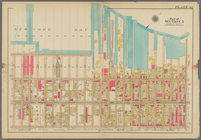
Bounded by (East River Piers)…
collection:
Part of Wards 13 & 14. Land
Map
Section
Bounded by (Fresh Creek) E. 1…
collection:
Part of Ward 32, Land
Map
Section, No
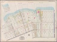
Bounded by (Gowanus Canal) Th…
collection:
Part of Wards 9, 22 . Land
Map
Section, No. 4
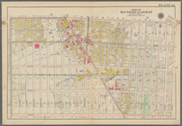
Bounded by (Gravesend Bay) Wa…
collection:
Part of Ward 31, Land
Map
Section, No
Bounded by (Greenwood Cemeter…
topic:
Maps
Bounded by (New Town Creek) C…
collection:
Part of Ward 17. Land
Map
Section, No. 9
Bounded by (New York Bay Pier…
topic:
Maps
Bounded by (New York Bay) Sec…
topic:
Maps
Bounded by (Proposed Bay Ridg…
collection:
Part of Ward 30, Land
Map
Section, No
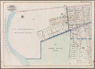
Bounded by (U.S. Government R…
collection:
Part of Ward 30, Land
Map
Sections, Nos
Bounded by (Vanderveer Park) …
topic:
Maps
Bounded by 37th Street, Fort …
collection:
Part of Wards 29 & 30, Land
Map
Sections
Bounded by 43rd Street, 14th …
topic:
Maps
Bounded by 43rd Street, West …
topic:
Maps
1
2
3
4
5
Previous
Next
1
2
3
4
5
Previous
Next