Click to visit the main New York Public Library Homepage
The New York Public Library
Digital Collections
About Digital Collections
Browse
Search only public domain materials
Items
Collections
Divisions
Home
Search
Browse
About
Search only public domain materials
Items
Collections
Divisions
Digital Collections
Using Images
Using Data
Search
Filtered keyword search
Show filters
Hide filters
Show Only Public Domain
topic
x
Fire insurance
Real property
105
name
Perris, William
105
Sanborn Map Company
1
collection
Atlases of New York City
105
Maps of New York City and State
1
place
x
Manhattan (New York, N.Y.)
New York
106
New York (State)
106
genre
Maps
106
Index maps
6
Title pages
6
publisher
William Perris
105
Sanborn Map Co
1
division
x
Map Division
type
cartographic
105
text
7
Date Range
to
106 results found for:
x
map
Filtering on:
x
Division
: Map Division
x
Place
: Manhattan (New York, N.Y.)
x
Topic
: Fire insurance
Sort by:
Relevance
Title
Date created
Date digitized
Sequence
…
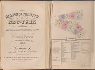
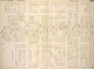
Maps
of the city of New York …
…
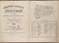
Maps
of the city of New York
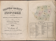
Maps
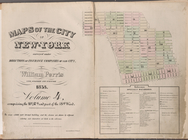
of the city of New York
Maps
of the city of New York
Maps
of the city of New York …
Maps
of the city of New York …
…
Maps
of the city of New York …
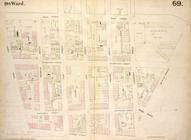
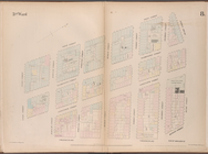
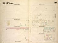
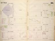
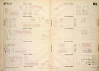
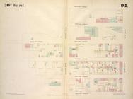
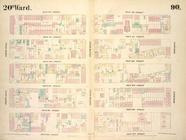
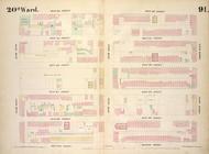
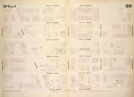
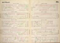
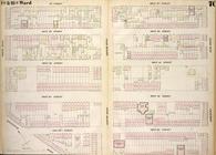
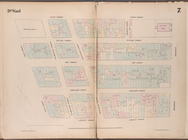
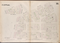
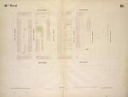
Map
bounded by West Street, West 12th Street
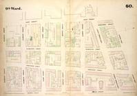
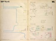
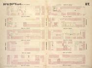
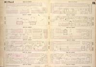
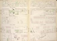
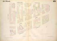
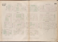
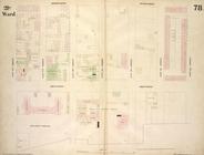
Map
bounded by West Street, Reade Street
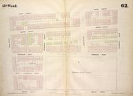
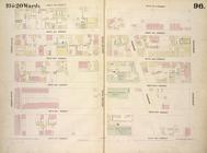
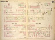
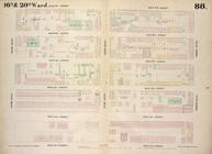
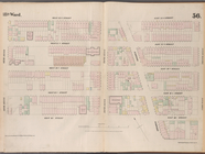
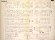
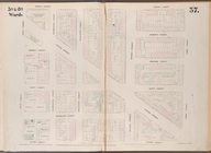
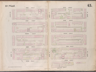
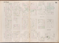
Map
bounded by West Street, Amos Street
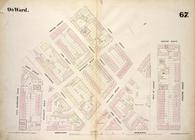
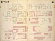
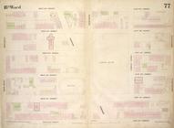
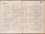
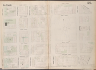
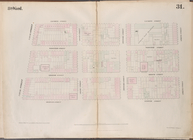
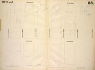
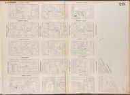
Map
bounded by West 9th Street, East 9th
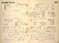
Map
bounded by West 4th Street, Perry
Map
bounded by West 4th Street, East 4th
Map
bounded by West 42nd Street, Tenth
Map
bounded by West 42nd Street, Sixth
Map
bounded by West 42nd Street, Eighth
Map
bounded by West 42nd Street, East 42nd
collection:
Map
bounded by West 42nd Street, East 42
Map
bounded by West 37th Street, Tenth
Map
bounded by West 37th Street, Sixth
Map
bounded by West 37th Street, Eighth
Map
bounded by West 37th Street, East 37th
collection:
Map
bounded by West 37th Street, East 37
Map
bounded by West 32nd Street, Tenth
Map
bounded by West 32nd Street, Sixth
Map
bounded by West 32nd Street, Eighth
Map
bounded by West 32nd Street, East 32nd
collection:
Map
bounded by West 32nd Street, East 32
Map
bounded by West 27th Street, Tenth
Map
bounded by West 27th Street, Sixth
Map
bounded by West 27th Street, Eighth
Map
bounded by West 27th Street, East 27th
collection:
Map
bounded by West 27th Street, East 27
Map
bounded by West 22nd Street, Sixth
Map
bounded by West 22nd Street, Eighth
Map
bounded by West 22nd Street, East 22nd
collection:
Map
bounded by West 22nd Street, East 22
Map
bounded by West 18th Street, East 18th
collection:
Map
bounded by West 18th Street, East 18
Map
bounded by West 17th Street, Sixth
Map
bounded by West 17th Street, Eighth
Map
bounded by West 14th Street, East 14th
collection:
Map
bounded by West 14th Street, East 14
Map
bounded by Vestry Street, Canal
Map
bounded by Vesey Street, Broadway
Map
bounded by University Place, East 14th
Map
bounded by Spring Street, Varick
Map
bounded by Spring Street, Mercer
Map
bounded by Spring Street, Laurens
Map
bounded by Spring Street, Elm Street
Map
bounded by Sixth Street, Avenue D
Map
bounded by Second Avenue, East 43rd
Map
bounded by Second Avenue, East 37th
Map
bounded by Second Avenue, East 32nd
Map
bounded by Rivington Street, East
Map
bounded by Rivington Street, Columbia
Map
bounded by Rivington Street, Attorney