Click to visit the main New York Public Library Homepage
The New York Public Library
Digital Collections
About Digital Collections
Browse
Search only public domain materials
Items
Collections
Divisions
Home
Search
Browse
About
Search only public domain materials
Items
Collections
Divisions
Digital Collections
Using Images
Using Data
Search
Filtered keyword search
Show filters
Hide filters
Show Only Public Domain
topic
x
City planning
Piers
10
Streets
10
Waterfronts
9
Geology
6
More
Less
name
New York (N.Y.). Common Council
13
Valentine, D. T. (David Thomas), 1801-1869
13
Hayward, George, b. ca. 1800
9
American Photo-Lithographic Company
3
Risse, Louis A
3
More
Less
collection
Maps of New York City and State
55
place
x
Manhattan (New York, N.Y.)
New York (N.Y.)
55
New York (State)
42
New York
16
Bronx (New York, N.Y.)
7
More
Less
genre
Maps
53
Manuscript maps
11
Blueprints
2
Cadastral maps
2
Prints
2
More
Less
publisher
producer not identified
3
publisher not identified
3
Department of Public Works
2
G.W. & C.B. Colton & Co
2
Robert A. Welcke, Photo-Lith
2
More
Less
division
x
Map Division
type
cartographic
55
still image
1
Date Range
to
55 results found for:
x
map
Filtering on:
x
Division
: Map Division
x
Place
: Manhattan (New York, N.Y.)
x
Topic
: City planning
Sort by:
Relevance
Title
Date created
Date digitized
Sequence
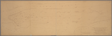
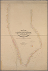
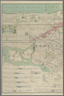
Map
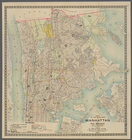
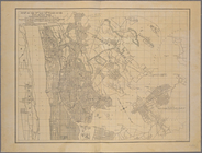
of the boroughs of Manhattan and the Bronx
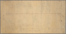
Manuscript
map
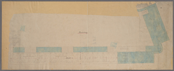
of corner of Duane Street
note:
Map
consists mostly of lines and figures
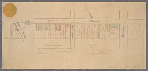
Paving
map
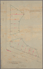
[Reade Street from Hudson Street
note:
… at top left corner of
map
.
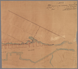
Proposed Harlem River Drive f…
collection:
Maps
of New York City and State
m
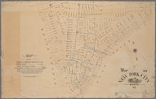
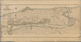
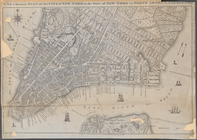
Map
of New York City
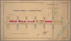
Proposed widening of Lexingto…
collection:
Paving
map
: proposed widening
Manuscript
map
of corner of Crosby Street
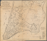
m
Manuscript
map
of New York City between
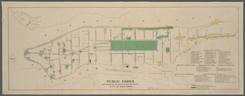
Public parks boroughs of Manh…
note:
Inset
map
of Staten Island and vicinity.
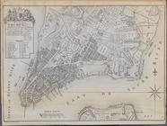
A
map
of the City of New York showing
m
Map
showing part of the city bounded by West
collection:
Map
showing part of the city bounded by West 10
Manuscript
map
of building at the corner
Diagram showing location of u…
collection:
Maps
of New York City and State
Map
of land to be acquired under Chapter 191
m
Profile of Riverside Drive fr…
note:
Sheet 2 shows
map
of area bounded by 97th
Map
of part of New York City bounded
Plan of the tracks under Unio…
collection:
Maps
of New York City and State
Plan showing changes in West …
collection:
Maps
of New York City and State
m
Plan of the Harlem River Driv…
collection:
Maps
of New York City and State
Map
of that part of the city of New York north
Map
of that portion of the 12th ward of the City
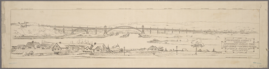
Proposed iron viaduct from Sa…
collection:
Maps
of New York City and State
Map
of the city of New York made under
Grade
map
, Palace of Industry : City of New York
Map
of West Street from Battery Park
Manuscript
map
of the section bounded by Grand
m
Map
showing the route for a proposed new
Modification in the pierhead…
collection:
Maps
of New York City and State
m
Proposed extension of Convent…
collection:
Maps
of New York City and State
Proposed viaduct "continuing"…
collection:
Maps
of New York City and State
Map
of the 23rd and 24th wards of the City
collection:
Map
of the 23rd and 24th wards
Map
or plan showing the street system in the 12th
Map
of the city of New York made under
Map
of New York City / drawn
Map
of the city of New York made under
Key:
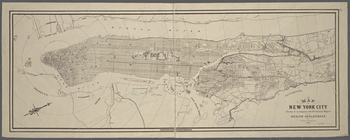
Map
of the City of New York
Key continued:
Map
of the City of New York
Key continued:
Map
of the City of New York
Key continued:
Map
of the City of New York
Copy of
map
or survey showing streets
note:
Includes text certifying this
map
Map
of the City of New York showing
m
Map
of the City of New York : north
collection:
Map
of the City of New York : north of 55
m
Map
of the City of New York north
collection:
Map
of the City of New York north of 155
m
Map
of New York City south of 135th
Map
of the Harlem River and Spuyten Duyvil
m
Map
of the Harlem River and Spuyten Duyvil
A New & Accurate Plan of the …
note:
….; Copied from a
Map
Plan of the City of New York …
note:
…"Copy of the Original
Map
presented
Map
of the 23rd and 24th wards of the City
collection:
Map
of the 23rd and 24th wards
Plan of the City of New York.…
collection:
Other
Maps
and Illustrations