Click to visit the main New York Public Library Homepage
The New York Public Library
Digital Collections
About Digital Collections
Browse
Search only public domain materials
Items
Collections
Divisions
Home
Search
Browse
About
Search only public domain materials
Items
Collections
Divisions
Digital Collections
Using Images
Using Data
Search
Filtered keyword search
Show filters
Hide filters
Show Only Public Domain
topic
Real property
2975
City planning
965
Social conditions
942
Zoning
229
Fire insurance
212
More
Less
name
G.W. Bromley & Co
1701
M.I.T. Press
942
New York (N.Y.). City Planning Commission
942
Ullitz, Hugo
735
E.B. Hyde & Co
544
More
Less
collection
Atlases of New York City
4232
Maps of New York City and State
554
Collection of broadside real estate maps announcing auctions of lots in early 19th century New York City
67
Maps of North America
5
Atlases, gazetteers, guidebooks and other books
2
More
Less
place
x
New York
New York (State)
4859
Manhattan (New York, N.Y.)
1816
New York (N.Y.)
1467
Brooklyn (New York, N.Y.)
969
More
Less
genre
Maps
4738
Indexes
112
Cadastral maps
102
Title pages
57
Index maps
50
More
Less
publisher
G.W. Bromley & Co
1573
MIT Press
942
E. Belcher Hyde
557
E. Robinson Co
209
E.B. Hyde & Co
118
More
Less
division
x
Map Division
type
cartographic
3799
still image
950
text
230
Date Range
to
Looking for this collection?
Maps of New York City and State
2,059 items
4,862 results found for:
x
map
Filtering on:
x
Division
: Map Division
x
Place
: New York
Sort by:
Relevance
Title
Date created
Date digitized
Sequence
Results 251 - 300
Height District
Map
Section No. 34
Height District
Map
Section No. 35
Use District
Map
Section No. 1
Use District
Map
Section No. 2
Use District
Map
Section No. 3
Use District
Map
Section No. 4
Use District
Map
Section No. 5
Use District
Map
Section No. 6
Use District
Map
Section No. 7
Use District
Map
Section No. 8
Use District
Map
Section No. 9
Use District
Map
Section No. 10
Use District
Map
Section No. 11
Use District
Map
Section No. 12
Use District
Map
Section No. 13
Use District
Map
Section No. 14
Use District
Map
Section No. 15
Use District
Map
Section No. 16
Use District
Map
Section No. 17
Use District
Map
Section No. 18
Use District
Map
Section No. 19
Use District
Map
Section No. 20
Use District
Map
Section No. 21
Use District
Map
Section No. 22
Use District
Map
Section No. 23
Use District
Map
Section No. 24
Use District
Map
Section No. 25
Use District
Map
Section No. 26
Use District
Map
Section No. 27
Use District
Map
Section No. 28
Use District
Map
Section No. 29
Use District
Map
Section No. 30
Use District
Map
Section No. 31
Use District
Map
Section No. 32
Use District
Map
Section No. 33
Use District
Map
Section No. 34
Use District
Map
Section No. 35
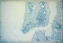
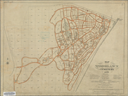
Map
of the Woodlawn Cemetery
m
Taunton new guide
map
and directory
note:
Maps
on verso: Taunton Guide
map
m
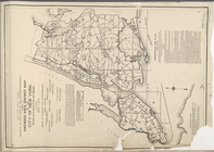
Rand-McNally standard
map
of the borough
m
1905 Library
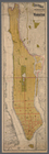
map
of Manhattan, City of New York
abstract:
A black and white
Map
of Manhattan, City
m
1907 Library
map
of Manhattan, City of New York
abstract:
A black and white
Map
of Manhattan, City
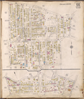
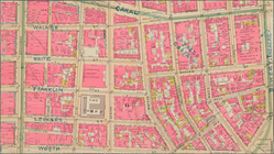
Staten Island, V. 1, Plate No. 66 [
Map
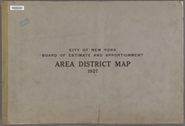
… and Apportionment. Area District
Map
… Area District
Map
m
The Blanchard Press correctly indexed
map
note:
On verso: Index, and ancillary
Map
of New York
Mulberry Bend District.
Map
bounded
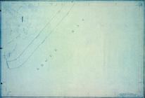
Freight terminal
map
of New York
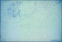
Fieldston, Riverdale-on-Hudso…
collection:
Map
of Fieldston - Borough of The Bronx
Map
of boroughs of Manhattan and the Bronx …
note:
Map
of boroughs
1
2
3
4
5
6
7
8
9
10
…
19
20
Previous
Next
1
2
3
4
5
6
7
8
9
10
…
19
20
Previous
Next