Click to visit the main New York Public Library Homepage
The New York Public Library
Digital Collections
About Digital Collections
Browse
Search only public domain materials
Items
Collections
Divisions
Home
Search
Browse
About
Search only public domain materials
Items
Collections
Divisions
Digital Collections
Using Images
Using Data
Search
Filtered keyword search
Show filters
Hide filters
Show Only Public Domain
topic
City planning
942
Social conditions
942
Real property
701
Maps
225
Population
38
More
Less
name
New York (N.Y.). City Planning Commission
980
M.I.T. Press
942
G.W. Bromley & Co
723
Bromley, George Washington
230
Bromley, Walter Scott
230
More
Less
collection
x
Atlases of New York City
place
x
New York (N.Y.)
New York (State)
1668
New York
1242
Manhattan (New York, N.Y.)
369
Bronx (New York, N.Y.)
327
More
Less
genre
Maps
2523
Cadastral maps
52
Index maps
23
Title pages
22
Indexes
20
More
Less
publisher
MIT Press
942
G.W. Bromley & Co
673
E. Robinson Co
222
Sanborn Map Company
133
M.B. Brown Printing & Binding Co.,
111
More
Less
division
x
Map Division
type
cartographic
1591
still image
943
text
97
Date Range
to
2,577 results found for:
x
map
Filtering on:
x
Division
: Map Division
x
Place
: New York (N.Y.)
x
Collection
: de1dcfb0-c5f6-012f-1dfc-58d385a7bc34
Sort by:
Relevance
Title
Date created
Date digitized
Sequence
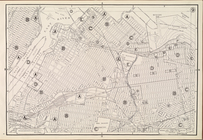
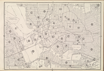
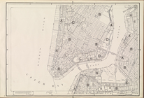
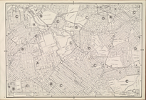
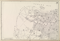
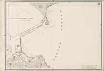
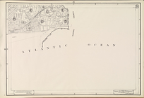
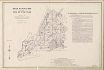
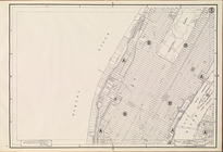
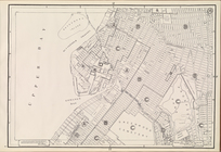
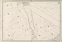
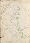
Area Zoning
Map
Section No. 1
note:
Scale of
maps
ca. 1:9,600.
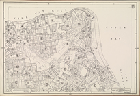
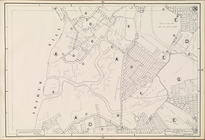
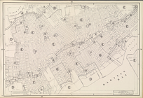
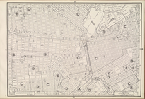
Area Zoning
Map
Section No. 3
note:
Scale of
maps
ca. 1:9,600.
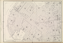
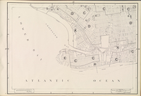
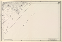
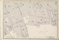
Area Zoning
Map
Section No. 5
note:
Scale of
maps
ca. 1:9,600.
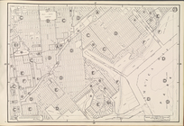
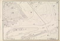
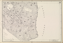
Area Zoning
Map
Section No. 6
note:
Scale of
maps
ca. 1:9,600.
Area Zoning
Map
Section No. 9
note:
Scale of
maps
ca. 1:9,600.
Area Zoning
Map
Section No. 10
note:
Scale of
maps
ca. 1:9,600.
Area Zoning
Map
Section No. 12
note:
Scale of
maps
ca. 1:9,600.
Area Zoning
Map
Section No. 13
note:
Scale of
maps
ca. 1:9,600.
Area Zoning
Map
Section No. 20
note:
Scale of
maps
ca. 1:9,600.
Area Zoning
Map
Section No. 21
note:
Scale of
maps
ca. 1:9,600.
Area Zoning
Map
Section No. 22
note:
Scale of
maps
ca. 1:9,600.
Area Zoning
Map
Section No. 23
note:
Scale of
maps
ca. 1:9,600.
Area Zoning
Map
Section No. 25
note:
Scale of
maps
ca. 1:9,600.
Area Zoning
Map
Section No. 26
note:
Scale of
maps
ca. 1:9,600.
Area Zoning
Map
Section No. 28
note:
Scale of
maps
ca. 1:9,600.
Area Zoning
Map
Section No. 29
note:
Scale of
maps
ca. 1:9,600.
Area Zoning
Map
Section No. 31
note:
Scale of
maps
ca. 1:9,600.
Area Zoning
Map
Section No. 33
note:
Scale of
maps
ca. 1:9,600.
Area Zoning
Map
Section No. 34
note:
Scale of
maps
ca. 1:9,600.
Area Zoning
Map
. City of New York
note:
Scale of
maps
ca. 1:9,600.
Area Zoning
Map
. City of New York. 1953
note:
Scale of
maps
ca. 1:9,600.
Area Zoning
Map
Section No. 2
note:
Scale of
maps
ca. 1:9,600.
Area Zoning
Map
Section No. 4
note:
Scale of
maps
ca. 1:9,600.
Area Zoning
Map
Section No. 7
note:
Scale of
maps
ca. 1:9,600.
Area Zoning
Map
Section No. 8
note:
Scale of
maps
ca. 1:9,600.
Area Zoning
Map
Section No. 11
note:
Scale of
maps
ca. 1:9,600.
Area Zoning
Map
Section No. 14
note:
Scale of
maps
ca. 1:9,600.
Area Zoning
Map
Section No. 15
note:
Scale of
maps
ca. 1:9,600.
Area Zoning
Map
Section No. 16
note:
Scale of
maps
ca. 1:9,600.
Area Zoning
Map
Section No. 17
note:
Scale of
maps
ca. 1:9,600.
Area Zoning
Map
Section No. 18
note:
Scale of
maps
ca. 1:9,600.
Area Zoning
Map
Section No. 19
note:
Scale of
maps
ca. 1:9,600.
Area Zoning
Map
Section No. 24
note:
Scale of
maps
ca. 1:9,600.
Area Zoning
Map
Section No. 27
note:
Scale of
maps
ca. 1:9,600.
Area Zoning
Map
Section No. 30
note:
Scale of
maps
ca. 1:9,600.
Area Zoning
Map
Section No. 32
note:
Scale of
maps
ca. 1:9,600.
Area Zoning
Map
Section No. 35
note:
Scale of
maps
ca. 1:9,600.
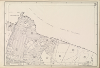
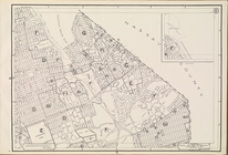
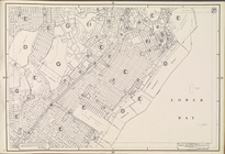
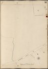
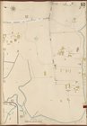
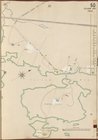
Bronx, V. A, Plate No. 14 [
Map
bounded
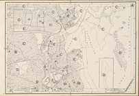
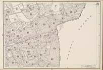
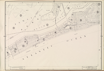
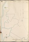
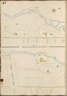
Bronx, V. A, Plate No. 55 [
Map
bounded
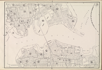
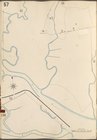
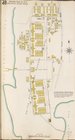
Bronx, V. A, Plate No. 57 [
Map
bounded
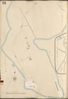
Bronx, V. A, Plate No. 59 [
Map
bounded
Bronx, V. A, Plate No. 60 [
Map
bounded
Bronx, V. B, Plate No. 14 [
Map
bounded
Bronx, V. B, Plate No. 47 [
Map
bounded
Bronx, V. B, Plate No. 48 [
Map
bounded
Bronx, V. B, Plate No. 49 [
Map
bounded
Bronx, V. B, Plate No. 50 [
Map
bounded
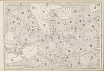
Additional Index
collection:
Insurance
maps
of the City of New York
Index
collection:
Insurance
maps
of the City of New York
Key
collection:
Insurance
maps
of the City of New York
1
2
3
4
5
6
7
8
9
10
11
Previous
Next
1
2
3
4
5
6
7
8
9
10
11
Previous
Next