Click to visit the main New York Public Library Homepage
The New York Public Library
Digital Collections
About Digital Collections
Browse
Search only public domain materials
Items
Collections
Divisions
Home
Search
Browse
About
Search only public domain materials
Items
Collections
Divisions
Digital Collections
Using Images
Using Data
Search
Filtered keyword search
Show filters
Hide filters
Show Only Public Domain
topic
Real property
1997
Maps
275
name
G.W. Bromley & Co
2368
Bromley, George Washington
738
Bromley, Walter Scott
737
collection
Atlases of New York City
2282
Atlases of the United States
89
place
New York (State)
2051
Manhattan (New York, N.Y.)
1624
New York
1573
New York (N.Y.)
673
Bronx (New York, N.Y.)
478
More
Less
genre
Maps
2297
Indexes
94
Atlases
89
Index maps
47
Title pages
24
More
Less
publisher
x
G.W. Bromley & Co
division
x
Map Division
type
cartographic
2294
text
127
still image
4
Date Range
to
2,371 results found for:
x
map
Filtering on:
x
Division
: Map Division
x
Publisher
: G.W. Bromley & Co.
Sort by:
Relevance
Title
Date created
Date digitized
Sequence
Results 501 - 550
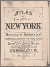
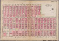
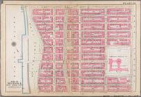
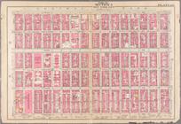
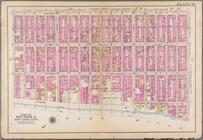
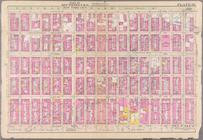
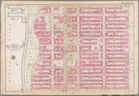
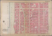
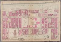
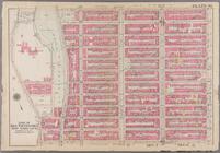
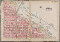
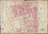
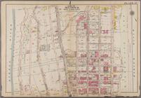
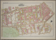
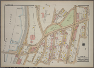
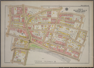
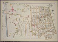
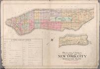
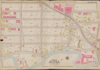
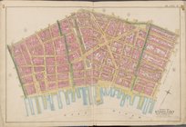
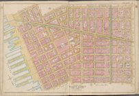
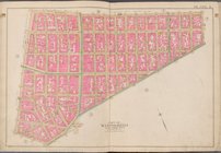
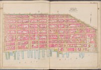
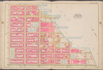
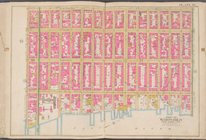
Atlas of the city of New York…
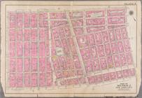
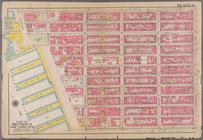
Plate 5: Bounded by Broome St…
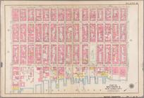
Plate 8: Bounded by W. 3rd St…
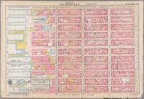
Plate 12: Bounded by E. 14th …
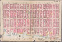
Plate 13: Bounded by W. 25th …
Plate 16: Bounded by Lexingto…
Plate 19: Bounded by W. 47th …
Plate 21: Bounded by Lexingto…
Plate 22: Bounded by Sixth Av…
Plate 26: Bounded by W. 86th …
Plate 28: Bounded by Fifth A…
Plate 29: Bounded by Second A…
Plate 30: Bounded by Fifth Av…
Plate 36: Bounded by W. 97th …
Plate 37: Bounded by W. 108th…
Plate 38: Bounded by Hudson R…
Plate 40: Bounded by W. 136th…
Plate 41: Bounded by E. 136th…
Plate 46: Bounded by W. 181st…
Plate 47: Bounded by Harlem R…
Plate 24, Part of Section 10,…
Plate 62, Part of Section 11,…
Plate 65, Part of Sections 11…
Plate 80, Part of Section 13,…
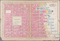
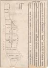
Atlas and owners names, borou…
note:
Includes 37 pages of text and 19
maps
.
Plate 13: Part of Sections 9&…
note:
Includes 37 pages of text and 19
maps
.
Plate 14: Part of Section 10,…
note:
Includes 37 pages of text and 19
maps
.
Plate 18: Part of Section 10,…
note:
Includes 37 pages of text and 19
maps
.
Double Page Plate No. 6, Part…
topic:
Maps
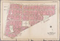
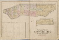
Outline and Index
Map
of Atlas of New
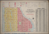
BLOCK INDEX. [Includes the
map
Outline and Index
Map
of Volume Four
Plate 12 [
Map
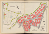
bounded by Southern Blvd
Outline and Index
map
of New York City
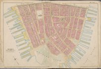
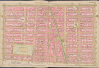
Map
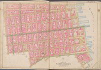
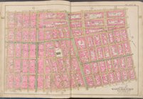
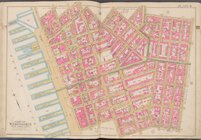
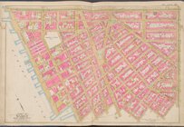
bounded by Liberty St., Maiden Lane
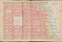
Map
bounded by Jay St., Thomas St
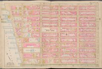
Map
bounded by William St., Park St
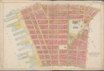
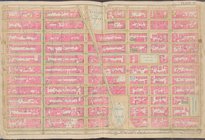
Map
bounded by Spring St., Broome St
Map
bounded by Broome St., Division St
Map
bounded by Division St., Grand St
Map
bounded by E. 3rd St., East River
Map
bounded by W. 3rd St., E. 3rd St
Map
bounded by Charles St., W. 3rd St., S
Map
bounded by W. 14th St., 6th Ave
Map
bounded by E. 14th St., 1st Ave., W
Map
bounded by E. 14th St., East River, E
collection:
Map
bounded by E. 14th St., East River
Map
bounded by W. 25th St., 7th Ave., W
Map
bounded by W. 25th St., 2nd Ave., E
Map
bounded by E. 25th St., East River, E
collection:
Map
bounded by E. 25th St., East River
Map
bounded by Lexington Ave., E. 40th St
1
2
3
4
5
6
7
8
9
10
Previous
Next
1
2
3
4
5
6
7
8
9
10
Previous
Next