Click to visit the main New York Public Library Homepage
The New York Public Library
Digital Collections
About Digital Collections
Browse
Search only public domain materials
Items
Collections
Divisions
Home
Search
Browse
About
Search only public domain materials
Items
Collections
Divisions
Digital Collections
Using Images
Using Data
Search
Filtered keyword search
Show filters
Hide filters
Show Only Public Domain
topic
Real property
10889
Fire insurance
5305
Cities & towns
5007
Administrative and political divisions
903
Railroads
772
More
Less
name
Sanborn Map Company
5108
G.W. Bromley & Co
2551
Bromley, George Washington
857
Bromley, Walter Scott
856
Austro-Hungarian Monarchy. Militärgeographisches Institut
774
More
Less
collection
Atlases of New York City
10230
Atlases of the United States
3839
Maps of North America
3343
Maps of New York City and State
2052
Lawrence H. Slaughter Collection of English maps, charts, globes, books and atlases
1248
More
Less
place
New York (State)
12097
New York
3808
Manhattan (New York, N.Y.)
2239
New York (N.Y.)
2100
Brooklyn (New York, N.Y.)
1212
More
Less
genre
Maps
21878
Atlases
3761
Topographic maps
1050
Cadastral maps
594
Nautical charts
394
More
Less
publisher
Sanborn Map Company
5145
G.W. Bromley & Co
2371
E. Belcher Hyde
807
K.u.K. Militargeographisches Institut
774
publisher not identified
452
More
Less
division
x
Map Division
type
cartographic
21822
text
746
still image
280
Date Range
to
Looking for one of these collections?
Atlases of New York City
11,722 items
Atlases of the United States
3,868 items
Maps of North America
3,345 items
Maps of New York City and State
2,059 items
Lawrence H. Slaughter Collection of English maps, charts, globes, books and atlases
1,252 items
Spezialkarte der Osterreichisch-Ungarischen Monarchie
774 items
22,402 results found for:
x
map
Filtering on:
x
Division
: Map Division
x
Rights
: Public Domain
Sort by:
Relevance
Title
Date created
Date digitized
Sequence
Results 20251 - 20300
Map
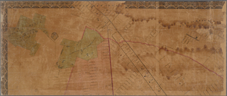
of the country thirty three miles around
topic:
Maps
m
Watson's new
map
of New York, Brooklyn
Map
of the meetings constituting New-York Yearly
note:
Mapping
the Nation (NEH grant, 2015-2018)…
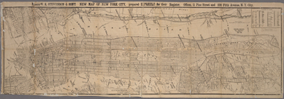
Messrs. V.K. Stevenson & Son's new
map
A
map
of the country in which the army
note:
… to Early
Maps
of the Middle
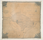
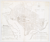
Plan of the city of Washingto…
note:
Cloth
map
.
Plan of the city of Washingto…
note:
… to Early
Maps
of the Middle
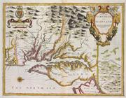
A
map
of Virginia and Maryland
note:
Phillips.
Maps
of America, p. 979
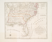
A
map
of the states of Virginia, North Carolina
note:
Kendall, H.P. Early
maps
of Carolina 83.
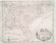
New
map
of the states of Georgia South
note:
… to Early
Maps
of the Middle
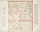
A New and correct chart of th…
note:
Differs from similar
map
. Uncolored
A new and correct chart of th…
note:
Differs from similar
map
. Uncolored
Canada et Louisiane
note:
Includes inset
maps
of extensions of Louisiana
L'Amerique Septentrionale : d…
note:
… to Early
Maps
of the Middle
A new and most exact
map
of America
note:
… to Early
Maps
of the Middle
A new chart of the vast Atlan…
note:
… great
Map
of the British
New-York
note:
… to Early
Maps
of the Middle
Map
of Morris's Purchase or West Geneseo
note:
… to Early
Maps
of the Middle
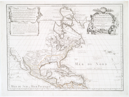
A new
map
of the world according
note:
… to Early
Maps
of the Middle
m
Map
of the state of New York
note:
Described in Ristow's American
maps
and mapmakers
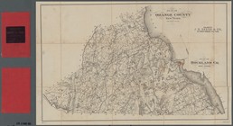
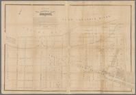
Plan of Orange County, New Yo…
note:
Mapping
the Nation (NEH grant, 2015-2018)…
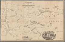
Sketch of the public surveys …
note:
… catalog of the
Map
Sketch
map
of the city of New York
Map
of the City of New York and vicinity
Johnson's Minnesota
note:
… catalog of the
Map
Lakes and reservoirs, head wa…
note:
…"Reduced from
map
of surveys made in 1851-1854
State of Indiana
note:
… catalog of the
Map
m
A
map
of the provinces of New-York
note:
LC
Maps
of North America, 1750-1789, 1048
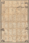
Map
of Saratoga Co., New York
note:
Mapping
the Nation (NEH grant, 2015-2018)…
The Meadows: to be offered at…
note:
Mapping
the Nation (NEH grant, 2015-2018)…
m
Map
of Washington County, New York
note:
Mapping
the Nation (NEH grant, 2015-2018)…
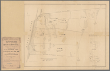
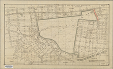
Map
or plan of section 10 [Crotona Park]
abstract:
… lines. Source:
Maps
Plan of the easterly part of …
note:
Cadastral
map
showing lot numbers
Topographical
map
of Seneca County, N.Y.
note:
Mapping
the Nation (NEH grant, 2015-2018)…
m
Map
of Staten Island, or Richmond
m
New
map
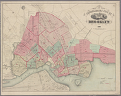
of the city of Brooklyn
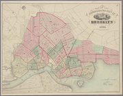
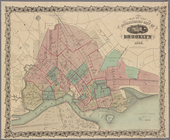
Map
of the consolidated city of Brooklyn
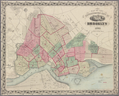
Map
of the consolidated city of Brooklyn
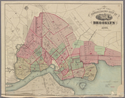
Map
of the consolidated city of Brooklyn
Map
of the consolidated city of Brooklyn
Map
of the consolidated city of Brooklyn
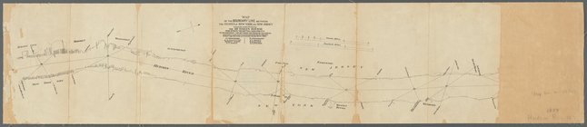
Map
of the boundary line between the states
note:
Mapping
the Nation (NEH grant, 2015-2018)…
m
Higginson's plan of the city …
note:
… catalog of the
Map
Rochester and Ontario beach q…
note:
Accompanies: Geologic
map
Geological
map
of a part of southeastern
note:
Mapping
the Nation (NEH grant, 2015-2018)…
State of Minnesota
note:
… catalog of the
Map
m
Map
of the City of New York and its
Plan of the French and Americ…
note:
Mapping
the Nation (NEH grant, 2015-2018)…
Map
of the City & County of New York
Central Park Planning
Map
No. 6: Bounded
1
2
…
79
80
81
82
83
84
85
86
…
89
90
Previous
Next
1
2
…
79
80
81
82
83
84
85
86
…
89
90
Previous
Next