Click to visit the main New York Public Library Homepage
The New York Public Library
Digital Collections
About Digital Collections
Browse
Search only public domain materials
Items
Collections
Divisions
Home
Search
Browse
About
Search only public domain materials
Items
Collections
Divisions
Digital Collections
Using Images
Using Data
Search
Filtered keyword search
Show filters
Hide filters
Show Only Public Domain
topic
Administrative and political divisions
333
Railroads
313
Real property
299
Landowners
215
City planning
126
More
Less
name
New York (N.Y.). Common Council
99
Valentine, D. T. (David Thomas), 1801-1869
49
Dripps, M. (Matthew)
43
Rand McNally and Company
41
G.W. & C.B. Colton & Co
37
More
Less
collection
x
Maps of New York City and State
place
New York (State)
1304
New York (N.Y.)
610
New York
554
Manhattan (New York, N.Y.)
340
Brooklyn (New York, N.Y.)
265
More
Less
genre
Maps
2052
Cadastral maps
183
Manuscript maps
71
Pamphlets
35
Aerial views
30
More
Less
publisher
publisher not identified
118
s.n
37
G.W. & C.B. Colton & Co
33
M. Dripps
29
The Company
28
More
Less
division
x
Map Division
type
cartographic
2044
text
58
still image
27
Date Range
to
Looking for this collection?
Maps of New York City and State
2,059 items
2,057 results found for:
x
map
Filtering on:
x
Division
: Map Division
x
Collection
: Maps of New York City and State
For more collection details, visit the
Maps of New York City and State collection page
.
Sort by:
Relevance
Title
Date created
Date digitized
Sequence
Results 251 - 300
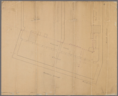
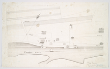
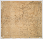
Manuscript
map
of corner of Hudson Street
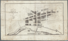
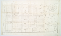
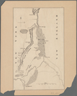
Map
of the village at Little Falls
note:
Purchase; Boston Rare
Maps
, 88 High
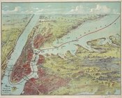
Bird's eye view
map
of New York and vicinity
m
Vicinity of New York
note:
Includes
map
of Upper Manhattan and part
Map
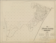
of the Wood Lawn Cemetery, 1874
m
Map
showing steam, cable, and horse roads
m
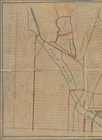
Map
of Clasons Point
note:
Mapping
the Nation (NEH grant, 2015-2018)…
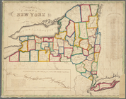
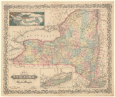
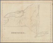
Map
of the State of New York
note:
Mapping
the Nation (NEH grant, 2015-2018)…
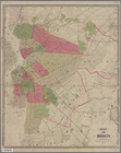
Map
of Brooklyn and vicinity
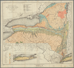
Economic and geologic
map
of the state
note:
NYPL
Map
Div. copy has accession no
Map
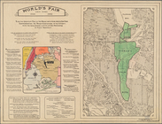
of New York
World's fair New York.: World…
note:
2
maps
in 1 sheet.
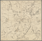
Map
showing the Adirondack Lake regions
note:
Segments of
map
separately numbered: 15 --16
m
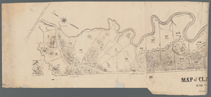
Map
of the five cities of New York
note:
NYPL
Map
Division
Map
of New York State showing the route
note:
Map
of New York State and vicinity
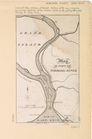
Map
of Ogdensburgh
note:
this
map
of Ogdensburgh has been
Map
of the lands included in the Central
Map
of the tertiary of Essex Co. …
note:
… catalog of the
Map
Grover & Baker's
map
of the state
note:
Map
within decorative border.
Rand McNally standard
map
of New York
note:
…
map
of New York
Map
of the State of New York
note:
Map
within decorative border.
m
Map
of Tarrytown, Irvington etc, Westchester
note:
Maps
show landowners, roards, railroads
m
Map
showing 50 miles around New York
m
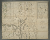
Map
of the Hudson River, showing routes
note:
Includes text, advertisements, and "
Map
…
map
New York City
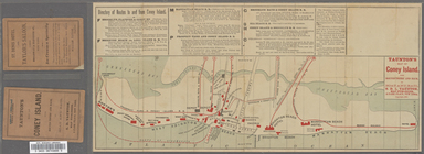
Taunton's
map
of Coney Island with routes
note:
… catalog of the
Map
Map
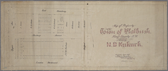
of property in the town of Flatbush, Kings
abstract:
Cadastral
map
bound
Map
of the borough of Brooklyn, New York …
note:
Base
map
is overlaid with boundaries
Colton's Road
map
of Sullivan County, State
note:
Mapping
the Nation (NEH grant, 2015-2018)…
m
Map
of Waverly Park lots located at Waverly
note:
Includes text, and an ancillary
map
of part
City of New-York
note:
Map
within decorative border.
m
Data for population from cens…
note:
Scale 1:36,000. 300 foot scale
map
(W 74°01
Map
of part of Kingston, N.Y., on Rondout
note:
… to Early
Maps
of the Middle
Map
of property on Brooklyn Heights, or
note:
… to Early
Maps
of the Middle
Map
of part of Niagara River
note:
… to Early
Maps
of the Middle
A
map
of the Province of New York
Map
showing the original high and low
Map
of the County of New York : showing
Block distribution of childre…
abstract:
Manuscript
map
showing number of children
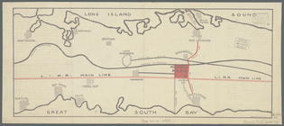
Freight terminal
map
of the Port of New
m
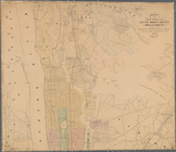
Map
of Manhattan showing the district
Map
of New York City
Map
shewing a plan for the widening and opening
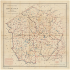
The state of New York : compi…
note:
… to Early
Maps
of the Middle
Lake George, Fort Ticonderoga…
note:
Mapping
the Nation (NEH grant, 2015-2018)…
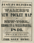
New-York
note:
Mapping
the Nation (NEH grant, 2015-2018)…
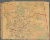
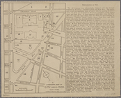
A landmark
map
of City Hall Park New York …
note:
Includes indexed "Explanation of
Map
."…
Map
of the province
note:
Photocopy of a manuscript
map
dated: 10th
Rye Park: [New York]
note:
Map
shows streets names, lots
Map
of the village of Watertown in Jefferson
note:
Map
shows townships, block and lot numbers
1
2
3
4
5
6
7
8
9
Previous
Next
1
2
3
4
5
6
7
8
9
Previous
Next