Click to visit the main New York Public Library Homepage
The New York Public Library
Digital Collections
About Digital Collections
Browse
Search only public domain materials
Items
Collections
Divisions
Home
Search
Browse
About
Search only public domain materials
Items
Collections
Divisions
Digital Collections
Using Images
Using Data
Search
Filtered keyword search
Show filters
Hide filters
Show Only Public Domain
topic
Real property
8329
Fire insurance
5218
Cities & towns
5007
City planning
942
Social conditions
942
More
Less
name
Sanborn Map Company
5095
G.W. Bromley & Co
2460
New York (N.Y.). City Planning Commission
980
M.I.T. Press
942
Bromley, George Washington
787
More
Less
collection
x
Atlases of New York City
place
New York (State)
9665
New York
4232
New York (N.Y.)
2577
Manhattan (New York, N.Y.)
1824
Brooklyn (New York, N.Y.)
947
More
Less
genre
Maps
11380
Indexes
145
Topographic maps
120
Title pages
89
Index maps
74
More
Less
publisher
Sanborn Map Company
5143
G.W. Bromley & Co
2282
MIT Press
942
E. Belcher Hyde
683
E. Robinson Co
342
More
Less
division
x
Map Division
type
cartographic
10447
still image
950
text
325
Date Range
to
Looking for this collection?
Atlases of New York City
11,722 items
11,592 results found for:
x
map
Filtering on:
x
Division
: Map Division
x
Collection
: Atlases of New York City
For more collection details, visit the
Atlases of New York City collection page
.
Sort by:
Relevance
Title
Date created
Date digitized
Sequence
Results 11501 - 11550
m
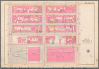
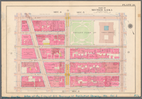
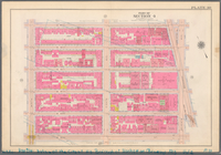
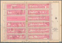
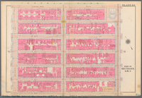
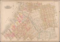
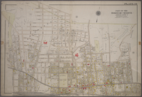
Plate 20, Part of Section 3: …
note:
Maps
partially
m
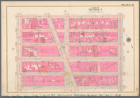
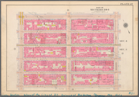
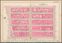
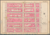
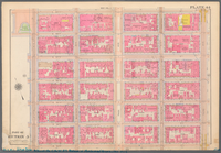
Plate 21, Part of Section 3: …
note:
Maps
partially
m
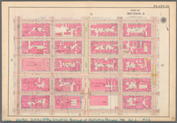
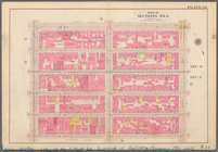
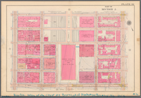
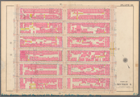
Plate 22, Part of Section 3: …
note:
Maps
partially
m
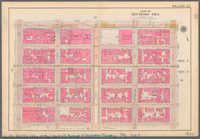
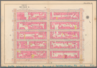
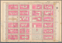
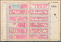
Plate 25, Part of Sections 3&…
note:
Maps
partially
m
Plate 26, Part of Sections 3,…
note:
Maps
partially
m
Plate 27, Part of Sections 3&…
note:
Maps
partially
m
Plate 28, Part of Sections 3&…
note:
Maps
partially
m
Plate 29, Part of Section 4: …
note:
Maps
partially
m
Plate 30, Part of Section 4: …
note:
Maps
partially
m
Plate 31, Part of Sections 4&…
note:
Maps
partially
m
Plate 32, Part of Section 5: …
note:
Maps
partially
m
Plate 35, Part of Section 5: …
note:
Maps
partially
m
Plate 36, Part of Sections 4&…
note:
Maps
partially
m
Plate 37, Part of Section 4: …
note:
Maps
partially
m
Plate 38, Part of Section 4: …
note:
Maps
partially
m
Plate 41, Part of Section 3: …
note:
Maps
partially
m
Plate 43, Part of Sections 4&…
note:
Maps
partially
m
Plate 44, Part of Section 5: …
note:
Maps
partially
m
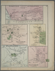
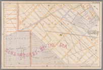
Unionville Guntherville, Town…
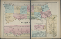
Riverhead, Suffolk Co.. - Par…
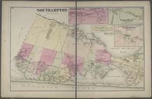
Southampton. - Good Ground Ca…
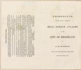
Prospectus For Publishing A S…
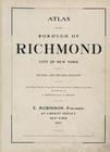
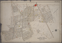
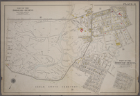
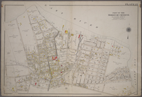
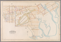
Atlas of the Borough of Richm…
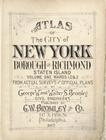
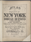
Atlas of The City of New York…
Atlas of The City of New York…
Bounded by S. 11th Street, Be…
topic:
Maps
Bounded by Noble St., Manhatt…
topic:
Maps
Bounded by Calyer Street, Fro…
topic:
Maps
Bounded by 85th Street, 1st A…
topic:
Maps
Atlas of city of New York Bor…
Atlas of city of New York Bor…
Atlas of the city of New York…
Atlas of city of New York. Vo…
Bounded by Richards Street, (…
topic:
Maps
Bounded by Ralph Avenue, E. 9…
topic:
Maps
Bounded by E. 103rd Street, A…
topic:
Maps
Bounded by Avenue K., Ralph A…
topic:
Maps
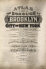
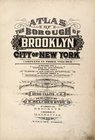
Atlas of the borough of Brook…
note:
… official
maps
and plans
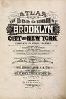
Atlas of the borough of Brook…
note:
…). Based upon official
maps
Atlas of the borough of Brook…
note:
…). Based upon official
maps
Map
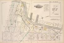
bound by Gowanus Canal, Second Ave
Atlas of the city of New York…
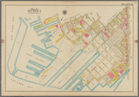
Plate 10: Bounded by West Str…
Plate 11: [Bounded by Noble S…
Plate 13: Bounded by Astoria …
Plate 19: Bounded by Long Isl…
Plate 25: Bounded by (East Ri…
Plate 34: Bounded by Bischoff…
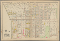
Plate 19: [Bounded by 72nd St…
Plate 27: [Bounded by Avenue …
1
2
…
38
39
40
41
42
43
44
45
46
47
Previous
Next
1
2
…
38
39
40
41
42
43
44
45
46
47
Previous
Next