Click to visit the main New York Public Library Homepage
The New York Public Library
Digital Collections
About Digital Collections
Browse
Search only public domain materials
Items
Collections
Divisions
Home
Search
Browse
About
Search only public domain materials
Items
Collections
Divisions
Digital Collections
Using Images
Using Data
Search
Filtered keyword search
Show filters
Hide filters
Show Only Public Domain
topic
x
Geography
Atlases
111
Astronomy, 1681
52
Mathematics
52
Atlases, British
44
More
Less
name
Coignet, Michel, 1549-1623
123
Ortelius, Abraham, 1527-1598
123
Shawe, James
123
Society for the Diffusion of Useful Knowledge (Great Britain)
109
J. & C. Walker (Firm)
104
More
Less
collection
Lawrence H. Slaughter Collection of English maps, charts, globes, books and atlases
404
Atlases, gazetteers, guidebooks and other books
46
Maps of New York City and State
1
Maps of North America
1
Maps of the World
1
place
Great Britain
157
United States
26
Italy
8
France
7
North America
6
More
Less
genre
Maps
453
Frontispieces
1
Geological maps
1
Illustrations
1
historical maps
1
publisher
Printed for Ieames Shawe, and are to be solde at his shoppe nigh Ludgate,
123
Chapman and Hall
109
Printed by A. Godbid and J. Playford, for R. Scott, bookseller
52
Printed for Robert Sayer, No. 53, Fleet-Street
44
Printed for John Cary
43
More
Less
division
x
Map Division
type
x
cartographic
text
41
Date Range
to
Looking for this collection?
Lawrence H. Slaughter Collection of English maps, charts, globes, books and atlases
1,252 items
453 results found for:
x
map
Filtering on:
x
Division
: Map Division
x
Topic
: Geography
x
Type
: cartographic
Sort by:
Relevance
Title
Date created
Date digitized
Sequence
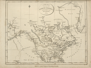
A new
map
of North America from the latest
note:
… to Early
Maps
of the Middle
America.
note:
… to Early
Maps
of the Middle
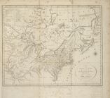
A
map
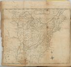
of the northern and middle states
note:
… to Early
Maps
of the Middle
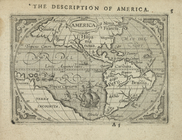
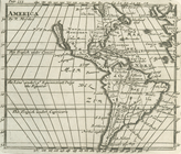
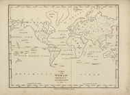
A new
map
of ye world
topic:
World
maps
Sketch
map
of Alaska …
note:
… and carto-bibliography of
maps
, entry
United States or Fredon
note:
Copy in
Map
Div. 97-6446 in Lawrence H
A chart of the world : exhibi…
note:
… to Early
Maps
of the Middle
America
collection:
…, and illustrated with divers
maps
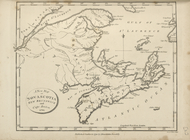
A new
map
of Upper and Lower Canada, 1794.
note:
… to Early
Maps
of the Middle
A new
map
of Nova Scotia, New Brunswick
note:
… to Early
Maps
of the Middle
A
map
of Newfoundland.
note:
… to Early
Maps
of the Middle
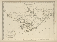
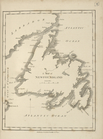
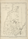
A
map
of Vermont.
note:
… to Early
Maps
of the Middle
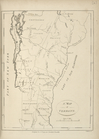
A
map
of New Hampshire.
note:
… to Early
Maps
of the Middle
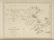
A
map
of Massachusets [sic] from
note:
… to Early
Maps
of the Middle
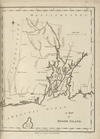
A
map
of Rhode Island.
note:
… to Early
Maps
of the Middle
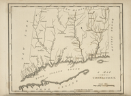
A
map
of Connecticut.
note:
… to Early
Maps
of the Middle
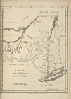
A
map
of the State of New York.
note:
… to Early
Maps
of the Middle
A
map
of Pennsylvania, from the best
note:
… to Early
Maps
of the Middle
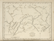
A
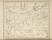
map
of the Back Settlements.
note:
… to Early
Maps
of the Middle
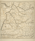
A
map
of Kentucky, drawn from actual
note:
… to Early
Maps
of the Middle
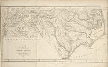
A
map
of North Carolina, from the best
note:
… to Early
Maps
of the Middle
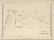
A
map
of the Tennessee Government, 1794.
note:
… to Early
Maps
of the Middle
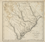
A
map
of South Carolina, from the best
note:
… to Early
Maps
of the Middle
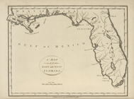
A
map
of the East and West Florida.
note:
… to Early
Maps
of the Middle
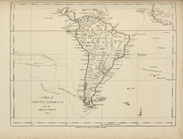
A
map
of South America and the adjacent
note:
… to Early
Maps
of the Middle
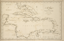
A
map
of the West Indies, from the best
note:
… to Early
Maps
of the Middle
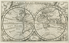
A
map
of the world, exhibiting all the new
note:
… to Early
Maps
of the Middle
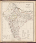
India XII: Index map
collection:
Maps
of the Society for the Diffusion of Useful
Germany: General map
collection:
Maps
of the Society for the Diffusion of Useful
A
map
of New Jersey …
note:
… to Early
Maps
of the Middle
Russia in Europe, Part X, gen…
collection:
Maps
of the Society for the Diffusion of Useful
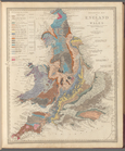
Geological
map
of England and Wales
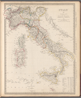
Italy IV: General map includi…
collection:
Maps
of the Society for the Diffusion of Useful
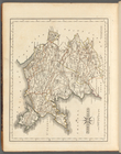
m
North Wales
collection:
… of county
maps
from actual
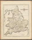
South Britain, [Frontispiece]
collection:
… of county
maps
from actual
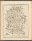
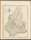
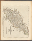
m
Wiltshire
collection:
… of county
maps
from actual
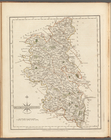
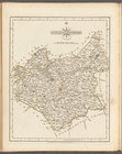
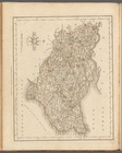
m
Buckinghamshire
collection:
… of county
maps
from actual
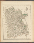
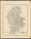
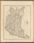
m
Surry
collection:
… of county
maps
from actual
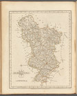
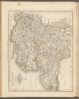
m
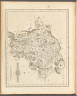
Derbyshire
collection:
… of county
maps
from actual
m
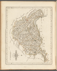
Durham
collection:
… of county
maps
from actual
m
Leicestershire
collection:
… of county
maps
from actual
m
Staffordshire
collection:
… of county
maps
from actual
m
Essex
collection:
… of county
maps
from actual
m
Northamptonshire
collection:
… of county
maps
from actual
m
Kent
collection:
… of county
maps
from actual
m
Huntingdonshire
collection:
… of county
maps
from actual
m
Suffolk
collection:
… of county
maps
from actual
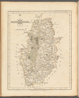
m
Nottinghamshire
collection:
… of county
maps
from actual
m
Westmoreland
collection:
… of county
maps
from actual
m
Cheshire
collection:
… of county
maps
from actual
1
2
Previous
Next
1
2
Previous
Next