Click to visit the main New York Public Library Homepage
The New York Public Library
Digital Collections
About Digital Collections
Browse
Search only public domain materials
Items
Collections
Divisions
Home
Search
Browse
About
Search only public domain materials
Items
Collections
Divisions
Digital Collections
Using Images
Using Data
Search
Filtered keyword search
Show filters
Hide filters
Show Only Public Domain
topic
x
Real property
Fire insurance
5198
Cities & towns
5007
Landowners
482
Business enterprises
468
More
Less
name
Sanborn Map Company
5103
G.W. Bromley & Co
2177
Ullitz, Hugo
606
E.B. Hyde & Co
545
E. Belcher Hyde Map Company
488
More
Less
collection
Atlases of New York City
8329
Atlases of the United States
1830
Maps of North America
359
Maps of New York City and State
299
Collection of broadside real estate maps announcing auctions of lots in early 19th century New York City
67
More
Less
place
New York (State)
10267
New York
2975
Manhattan (New York, N.Y.)
1838
New York (N.Y.)
821
Brooklyn (New York, N.Y.)
811
More
Less
genre
Maps
10578
Atlases
1827
Cadastral maps
537
Indexes
126
Title pages
74
More
Less
publisher
Sanborn Map Company
5009
G.W. Bromley & Co
1997
E. Belcher Hyde
425
E. Robinson Co
246
F. W. Beers & Co
148
More
Less
division
x
Map Division
type
cartographic
10651
text
324
still image
33
Date Range
to
Looking for one of these collections?
Atlases of New York City
11,722 items
Maps of North America
3,345 items
Maps of New York City and State
2,059 items
10,889 results found for:
x
map
Filtering on:
x
Division
: Map Division
x
Topic
: Real property
Sort by:
Relevance
Title
Date created
Date digitized
Sequence
Results 10251 - 10300
Map
bound by Ten Eyck St., Old Bushwick
Map
bound by Broadway, Middleton St
Map
bound by Lee Ave., Flushing Ave
Map
bounded by Putnam Ave., Tompkins Ave
Map
bounded by Putnam Ave., Stuyvesant
Map
bound by Decatur St., Patchen Ave
Map
bound by Decatur St., Saratoga Ave
Map
bound by Meeker Ave., Newtown Creek
Map
bound by Division Pl., Newtown Creek
Map
bound by Decatur St., Broadway
Map
bound by Brooklyn Ave., City Line
Map
bound by Troy Ave., City Line
Map
bound by Herkimer St., Rockaway Ave
Map
bound by Bayard (Sanford) St., Meeker Ave
Map
bound by Orient Ave., City Line
Map
bound by Grand St., Canal, Meserole
Map
bound by Meserole St., Canal
Map
bound by Meadow St., Metropolitan Ave
Map
bound by City Line, Greene St
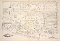
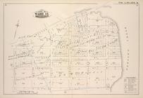
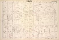
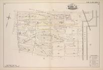
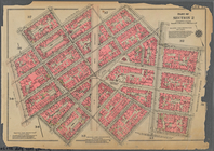
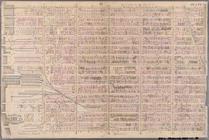
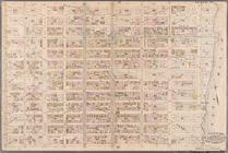
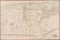
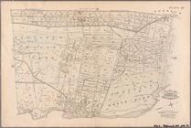
Plate 26, Part of Ward 5: [Ma…
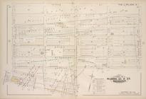
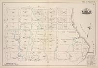
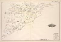
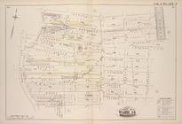
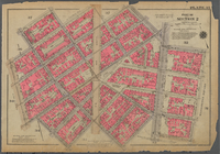
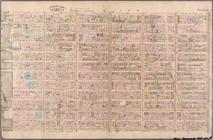
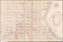
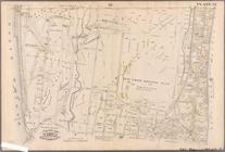
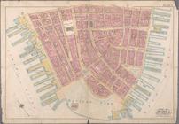
Plate 33, Part of Wards 2 & 3…
m
Map
of 45 lots of ground leased from
Index to Volume Four. Atlas o…
note:
Corrections pasted on
maps
of earlier date: V
Index to Volume Five. Atlas o…
note:
Corrections pasted on
maps
of earlier date: V
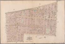
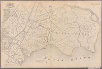
Onondaga County & adjacent te…
note:
Mapping
the Nation (NEH grant, 2015-2018)…
Atherton, St. Lawrence County…
note:
Mapping
the Nation (NEH grant, 2015-2018)…
Plan of the Brunswick lots in…
note:
Mapping
the Nation (NEH grant, 2015-2018)…
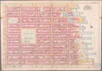
Bounded by W. 11th Street, W.…
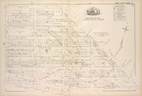
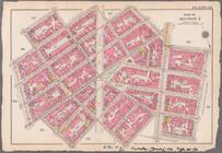
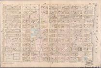
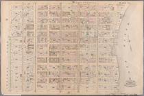
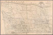
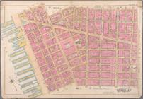
Plate 35, Part of Section 2: …
Bounded by W. 11th Street, W.…
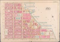
Plate 2: Bounded by West Stre…
Plate 8: Bounded by Bowery, F…
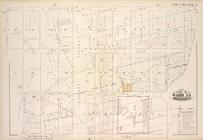
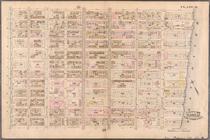
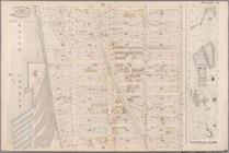
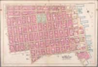
Plate 14: Bounded by W. 40th …
Plate 15: Bounded by W. 52nd …
Plate 16: Bounded by W. 52nd …
Plate 19: Bounded by E. 76th …
Plate 20: Bounded by E. 89th …
Plate 21: Bounded by E. 102nd…
Plate 22: Bounded by E. 115th…
Plate 23: Bounded by W. 77th …
Plate 31: Bounded by Harlem R…
Plate 35: Bounded by .....N. …
Plate 37: Bounded by Westches…
Plate 38: Bounded by Harlem R…
Plate 39: Vanderbilt Avenue, …
Bounded by Liberty Street, Ma…
Bounded by Spring Street, Hud…
Bounded by E. 3rd Street, Tom…
Bounded by E. 14th Street, Av…
Bounded by E. 25th Street, Av…
1
2
…
35
36
37
38
39
40
41
42
43
44
Previous
Next
1
2
…
35
36
37
38
39
40
41
42
43
44
Previous
Next