Click to visit the main New York Public Library Homepage
The New York Public Library
Digital Collections
About Digital Collections
Browse
Search only public domain materials
Items
Collections
Divisions
Home
Search
Browse
About
Search only public domain materials
Items
Collections
Divisions
Digital Collections
Using Images
Using Data
Search
Filtered keyword search
Show filters
Hide filters
Show Only Public Domain
topic
Real property
324
Geography
95
Business enterprises
84
Population
37
Real property auctions
35
More
Less
name
G.W. Bromley & Co
133
Bromley, George Washington
75
Bromley, Walter Scott
74
Beers, F. W. (Frederick W.)
58
Cary, John, approximately 1754-1835
53
More
Less
collection
Atlases of New York City
325
Atlases of the United States
139
Atlases, gazetteers, guidebooks and other books
82
Lawrence H. Slaughter Collection of English maps, charts, globes, books and atlases
80
Maps of New York City and State
58
More
Less
place
New York (State)
373
New York
230
New York (N.Y.)
107
Bronx (New York, N.Y.)
77
Brooklyn (New York, N.Y.)
75
More
Less
genre
Maps
322
Indexes
147
Atlases
126
Title pages
126
Pamphlets
35
More
Less
publisher
G.W. Bromley & Co
127
Printed for John Cary
53
E. Belcher Hyde
40
Printed for Robert Sayer, No. 53, Fleet-Street
31
S. A. Mitchell, jr
29
More
Less
division
x
Map Division
type
x
text
cartographic
310
still image
33
Date Range
to
755 results found for:
x
map
Filtering on:
x
Division
: Map Division
x
Type
: text
Sort by:
Relevance
Title
Date created
Date digitized
Sequence
Map
of the Greenwich Village section
image:
psnypl_
map
_352
m
Atlas eclipticalis 1950.0
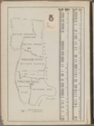
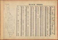
Block Index.
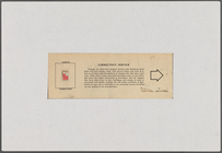
Copyright Notice: G.W. Bromle…
Sample Correction: Correction…
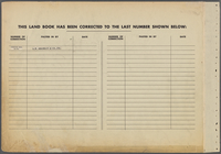
Table for Corrections
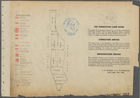
Explanation
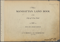
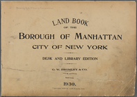
Manhattan Land Book of the Ci…
Notice: Insertion Correction …
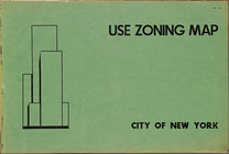
Use Zoning
Map
. City of New York. 1953
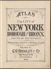
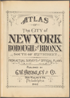
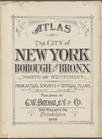
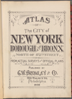
Atlas of the City of New York…
topic:
Maps
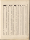
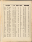
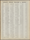
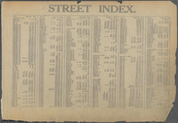
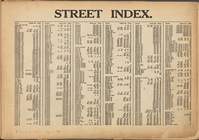
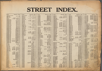
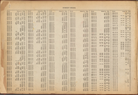
Street Index, Volume 1, Bronx…
topic:
Maps
Atlas of the City of New York…
topic:
Maps
Table for Corrections
topic:
Maps
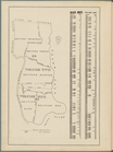
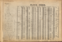
Block Index. Volume One
topic:
Maps
Street Index, Volume 1, Bronx…
topic:
Maps
Atlas of the City of New York…
topic:
Maps
Block Index. Volume Two
topic:
Maps
Street Index, Volume 2, Bronx…
topic:
Maps
Atlas of the City of New York…
topic:
Maps
Table for Corrections
topic:
Maps
Block Index. Volume Two
topic:
Maps
Street Index, Volume 2, Bronx…
topic:
Maps
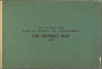
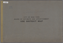
… and Apportionment. Use District
Map
…
Map
. 1937
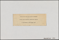
Street Index: [Hillside Avenu…
Street Index: [Weehawken Stre…
Street Index: [80th Street E.…
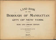
Land Book of the Borough of M…
Street Index: [Abingdon Squar…
Street Index: [Abington Squar…
Block Index
Street Index: [Haven Avenue -…
Street Index: [Water Street -…
…
Map
. 1927.
collection:
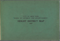
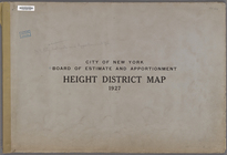
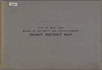
… and Apportionment.Height District
Map
. 1927.
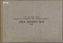
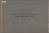
… and Apportionment. Area District
Map
Land Book of the Borough of M…
Street Index: [80th Street E.…
…
Map
.
note:
…"The Amended area district
map
consists
… and Apportionment. Use District
Map
.
… and Apportionment. Area District
Map
topic:
Maps
Street Index: [Water Street -…
Block Index
Street Index: [Abington Squar…
Street Index: [80th Street E.…
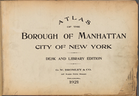
Atlas of the Borough of Manha…
m
History of the New York Publi…
Table for Corrections
Notice of Corrections and Sup…
Street Index: [Haven Avenue -…
1
2
3
4
Previous
Next
1
2
3
4
Previous
Next