Click to visit the main New York Public Library Homepage
The New York Public Library
Digital Collections
About Digital Collections
Browse
Search only public domain materials
Items
Collections
Divisions
Home
Search
Browse
About
Search only public domain materials
Items
Collections
Divisions
Digital Collections
Using Images
Using Data
Search
Filtered keyword search
Show filters
Hide filters
Show Only Public Domain
topic
Real property
10889
Fire insurance
5305
Cities & towns
5007
City planning
1087
Social conditions
942
More
Less
name
Sanborn Map Company
5108
G.W. Bromley & Co
2551
New York (N.Y.). City Planning Commission
980
M.I.T. Press
942
Bromley, George Washington
857
More
Less
collection
Atlases of New York City
11592
Atlases of the United States
3839
Maps of North America
3345
Maps of New York City and State
2057
Lawrence H. Slaughter Collection of English maps, charts, globes, books and atlases
1248
More
Less
place
New York (State)
13151
New York
4862
New York (N.Y.)
3351
Manhattan (New York, N.Y.)
2239
Brooklyn (New York, N.Y.)
1212
More
Less
genre
Maps
23265
Atlases
3762
Topographic maps
1050
Cadastral maps
594
Nautical charts
394
More
Less
publisher
Sanborn Map Company
5145
G.W. Bromley & Co
2371
MIT Press
942
E. Belcher Hyde
807
K.u.K. Militargeographisches Institut
774
More
Less
division
x
Map Division
type
cartographic
22270
still image
1222
text
755
Date Range
to
Looking for one of these collections?
Atlases of New York City
11,722 items
Atlases of the United States
3,868 items
Maps of North America
3,345 items
Maps of New York City and State
2,059 items
Lawrence H. Slaughter Collection of English maps, charts, globes, books and atlases
1,252 items
Spezialkarte der Osterreichisch-Ungarischen Monarchie
774 items
23,798 results found for:
x
map
Filtering on:
x
Division
: Map Division
Sort by:
Relevance
Title
Date created
Date digitized
Sequence
Results 22751 - 22800
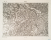
Toblach und Cortina D'ampezzo…
Toblach und Cortina D'ampezzo…
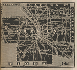
Tokaj
Toketerebes und Nagyszalancz.
Tolmein.
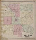
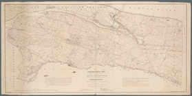
Tompkins County
Tompkins County.
note:
… to Early
Maps
of the Middle
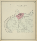
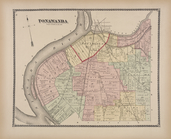
Tonawanda [Township]
Tonawanda [Township]
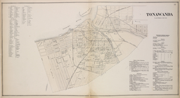
Tonawanda [Village]; Tonawand…
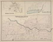
Tonawanda Falls [Village]; By…
collection:
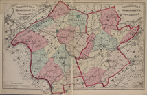
Combination atlas
map
of Genesee County
Topographic sheet, Montana (S…
note:
Mapping
the Nation (NEH grant, 2015-2018)…
Topographical & township
map
note:
Mapping
the Nation (NEH grant, 2015-2018)…
m
Topographical and irrigation
map
of the Great
note:
… catalog of the
Map
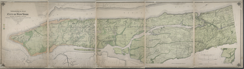
Topographical atlas of the Ci…
note:
One
map
in 5 sheets.
m
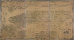
Topographical atlas of the ci…
note:
One
map
in 5 sheets.
Topographical
map
in ten-foot contour
note:
Mapping
the Nation (NEH grant, 2015-2018)…
Topographical
map
in thirty-foot contour
note:
Mapping
the Nation (NEH grant, 2015-2018)…
Topographical
map
made from surveys
note:
…
map
to 1874.
m
Topographical
map
of central California
note:
NYPL
Map
Div. copy has accession no
Topographical
map
of Fairmount Park, Philadelphia …
note:
… catalog of the
Map
Topographical
map
of Fairmount Park, Philadelphia …
note:
NYPL
Map
Div. copy: manuscript additions in black
m
Topographical
map
of Hunterdon Co., New Jersey
note:
Includes 3 ancillary
maps
on verso
Topographical
Map
Topographical
map
of lands belonging
note:
Mapping
the Nation (NEH grant, 2015-2018)…
m
Topographical
map
of Massachusetts
note:
NYPL
Map
Div. copy is divided into 4 sheets, 65
Topographical
map
of Middlesex Fells Reservation
note:
Mapping
the Nation (NEH grant, 2015-2018)…
Topographical
map
of Monadnock Mountain, New
note:
Mapping
the Nation (NEH grant, 2015-2018)…
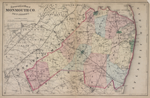
Topographical
Map
of Monmouth Co., New Jersey.
m
Topographical
map
of New York and vicinity …
note:
Insets: Navesink Park --
Map
of Long
Topographical
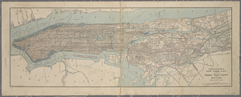
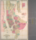
map
of New York City
m
Topographical
map
of New York City, county
note:
Cadastral
map
covering area south of 155
m
Topographical
map
of New York City, County
note:
Cadastral
map
. Covers the area south
Topographical
map
of New York City, County
note:
Mapping
the Nation (NEH grant, 2015-2018)…
m
Topographical
map
of New York City, County
topic:
New York (N.Y.)--
Maps
Topographical
map
of Seneca County, N.Y.
note:
Mapping
the Nation (NEH grant, 2015-2018)…
Topographical
map
of that portion of New Jersey
note:
Mapping
the Nation (NEH grant, 2015-2018)…
Topographical
Map
of the cities of New York
Topographical
map
of the city and county of New
note:
… to Early
Maps
of the Middle
m
Topographical
map
m
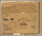
Topographical
map
of the City of New York
note:
… an actual survey;
Map
of New
Topographical
map
of the coal and iron ore lands
note:
… catalog of the
Map
Topographical
map
of the country between the Mohawk
note:
Mapping
the Nation (NEH grant, 2015-2018)…
m
Topographical
map
of the county of Penobscot
note:
NYPL
Map
Div. copy is divided into 6 sheets, 79
m
Topographical
map
of the County of Winnebago
note:
… at H.F. Walling's
Map
m
Topographical
map
of the District of Columbia
note:
Mapping
the Nation (NEH grant, 2015-2018)…
Topographical
map
of the District of Columbia
note:
Partial cadastral
map
showing landowners
Topographical
map
of the northern section
note:
… to Early
Maps
of the Middle
Topographical
map
of the original District
note:
Mapping
the Nation (NEH grant, 2015-2018)…
Topographical
map
of the state of New Jersey
note:
…: Meteorological
map
of the state
1
2
…
87
88
89
90
91
92
93
94
95
96
Previous
Next
1
2
…
87
88
89
90
91
92
93
94
95
96
Previous
Next