Click to visit the main New York Public Library Homepage
The New York Public Library
Digital Collections
About Digital Collections
Browse
Search only public domain materials
Items
Collections
Divisions
Home
Search
Browse
About
Search only public domain materials
Items
Collections
Divisions
Digital Collections
Using Images
Using Data
Search
Filtered keyword search
Show filters
Hide filters
Show Only Public Domain
topic
Exhibitions
151
Railroads
7
Transportation
5
Housing development
3
Bridges
2
More
Less
name
New York World's Fair (1939-1940 : New York, N.Y.)
151
American Telephone and Telegraph Company
3
Boy Scouts of America
2
New York (N.Y.). Committee on Slum Clearance
2
Regional Plan Association (New York, N.Y.)
2
More
Less
collection
New York World's Fair 1939 and 1940 Incorporated records
151
William J. Wilgus papers
5
Robert Moses papers
4
Maps of New York City and State
2
Fred F. French Companies records
1
place
x
New York (State)
New York
163
New York (N.Y.)
6
United States
5
Manhattan (New York, N.Y.)
3
More
Less
genre
Photographs
132
Maps
32
Plans
20
Ephemera
1
Floor plans
1
More
Less
publisher
Charles Francis Press
2
Triborough bridge authority
2
Fort Dearborn Pub. Co
1
G.W. & C.B. Colton
1
division
x
Manuscripts and Archives Division
type
still image
132
cartographic
32
text
5
Date Range
to
163 results found for:
x
map
Filtering on:
x
Division
: Manuscripts and Archives Division
x
Place
: New York (State)
Sort by:
Relevance
Title
Date created
Date digitized
Sequence
Pocket
map
of greater New York ;
Map
abstract:
…
map
shows radial
G. Woolworth Colton's new
map
of New York
note:
NYPL
Map
Div. copy has accession no
Map
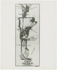
of Proposed Belt Railways
H4.
Map
(Scheme B) illustrating freight situation
Key
map
Map
showing relation of the Inter
collection:
Map
showing relation
m
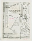
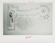
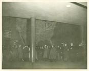
Cosmetics - Building -
Map
m
Aviation Exhibit -
Map
of exhibit
m
Fisheries Building -
Map
m
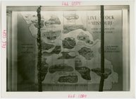
Missouri Participation -
Map
of livestock
m
Great Britain Participation - Floor
map
m
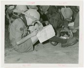
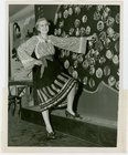
Boy Scouts - Boy writing on
map
m
…. Green in front of
map
m
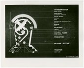
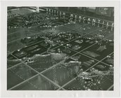
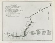
Transportation to Fair -
Map
of routes
m
… showing
map
of Fair
m
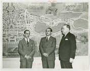
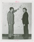
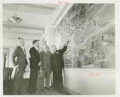
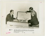
… and incorporators look at
map
m
… showing man wall
map
m
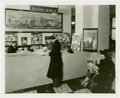
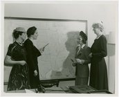
Information Booths - Attentant showing man
map
m
… and bus route
map
m
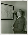
Ford - Captain Bob Bartlett pointing to
map
m
Great Britain Participation - Floor
map
m
… - Sketches,
Maps
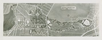
and Plans - Flushing Meadow Park
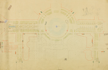
map
m
… - Sketches,
Maps
and Plans - Diagrammatic
map
of Fairgrounds
m
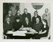
Hall of Pharmacy - Officials looking at
map
m
… - Man with
map
m
… beside
map
m
Automobiles - Grand Prix -
Map
of race
m
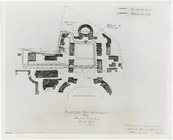
Fairgrounds -
Maps
and Plans - Key
map
showing
m
… and incorporators look at
map
m
… - Showing
map
of Illinois
m
… looking at Fair site
map
m
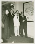
…'s Participation - Group with
map
m
… Sarg
map
of Fair
m
…'s Participation - Group at
map
m
…) Exhibit - Giant
map
m
…'s Participation - Group at
map
m
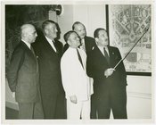
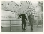
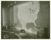
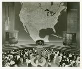
American Telephone & Telegraph Exhibit -
Map
m
… - Officials looking at
map
m
American Telephone & Telegraph Exhibit -
Map
m
…. Young looking at
map
m
American Telephone & Telegraph Exhibit -
Map
Map
illustrating structures needing major
m
…'s Participation - Group with
map
m
…
map
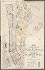
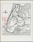
Brooklyn-Battery Bridge Proje…
New York City with proposed B…
m
Fairgrounds -
Maps
and Plans - Board of Design
m
Fairgrounds - Sketches,
Maps
and Plans
m
Fairgrounds - Sketches,
Maps
and Plans
m
Fairgrounds -
Maps
and Plans - Board of Design