Click to visit the main New York Public Library Homepage
The New York Public Library
Digital Collections
About Digital Collections
Browse
Search only public domain materials
Items
Collections
Divisions
Home
Search
Browse
About
Search only public domain materials
Items
Collections
Divisions
Digital Collections
Using Images
Using Data
Search
Filtered search
Show filters
Hide filters
Show Only Public Domain
topic
Real property
2975
City planning
965
Social conditions
942
Zoning
229
Fire insurance
212
More
Less
name
G.W. Bromley & Co
1701
M.I.T. Press
942
New York (N.Y.). City Planning Commission
942
Ullitz, Hugo
735
E.B. Hyde & Co
544
More
Less
collection
Atlases of New York City
4232
Maps of New York City and State
554
Collection of broadside real estate maps announcing auctions of lots in early 19th century New York City
67
Atlases, gazetteers, guidebooks and other books
2
Lawrence H. Slaughter Collection of English maps, charts, globes, books and atlases
2
More
Less
place
x
New York (State)
New York
4859
Manhattan (New York, N.Y.)
1816
New York (N.Y.)
1467
Brooklyn (New York, N.Y.)
969
More
Less
genre
Maps
4735
Indexes
112
Cadastral maps
102
Title pages
57
Index maps
50
More
Less
publisher
G.W. Bromley & Co
1573
MIT Press
942
E. Belcher Hyde
557
E. Robinson Co
209
E.B. Hyde & Co
118
More
Less
division
x
Map Division
type
cartographic
3796
still image
950
text
230
Date Range
to
4,859 results found
Filtering on:
x
Division
: Map Division
x
Place
: New York (State)
x
Place
: New York
Sort by:
Title
Date created
Date digitized
Sequence
Results 1751 - 1800
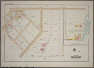
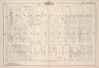
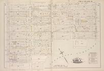
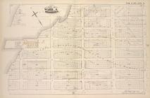
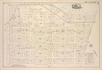
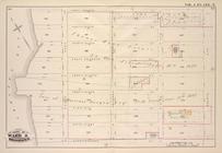
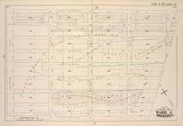
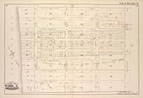
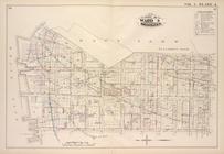
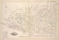
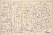
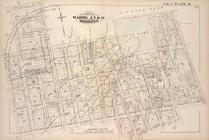
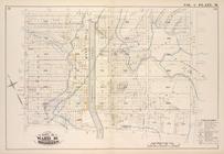
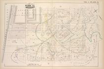
Plate 32: Part of Section 10,…
Map bound by Starr St., Wycko…
Map bound by La Fayette Ave.,…
Map bound by Stanhope St., Wy…
Map bound by Central Ave., Sc…
Map bound by Magnolia St., Ci…
Map bound by City Line, Cemet…
Map bound by Central Ave., Ce…
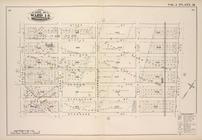
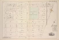
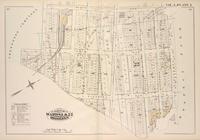
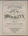
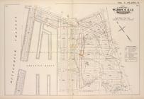
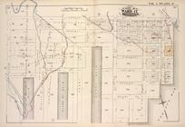
Detailed Estate and Old Farm …
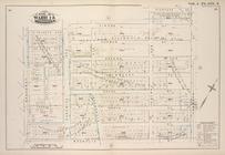
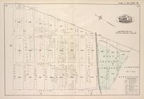
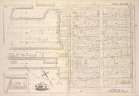
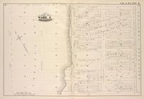
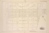
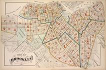
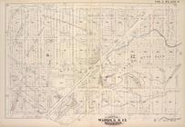
Index Map of Brooklyn
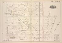
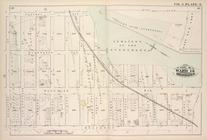
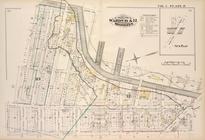
Map bound by Atlantic Ave., F…
Map bound by St. Johns Place,…
Map bound by Fifth Ave., Fift…
Map bound by Fifth St., Sixth…
Map bound by First St., Ninth…
Map bound by Tenth St., Ninth…
Map bound by Thirteenth St., …
Map bound by Prospect Ave., N…
Map bound by Ninth Ave., Pros…
Map bound by Twentieth St., F…
Map bound by Twenty-Eighth St…
Map bound by Thirty-Sixth, Fi…
Map bound by Greenwood Cemete…
Map bound by Greenwood Cemete…
Map bound by Forty-Fourth St.…
Map bound by Fifty-Second, Fo…
Map bound by Fifty-Second St.…
Detailed Estate and Old Farm …
Index Map of Brooklyn
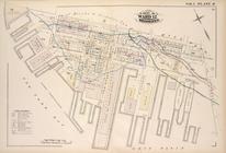
Map bound by U.S. Navy Yard, …
Map bound by East River, Brid…
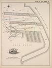
Map bound by Poplar St., Sand…
Map bound by Sands St., U.S. …
Map bound by Pierrepont St., …
Map bound by Johnson St., Pea…
Map bound by Washington Park,…
Map bound by Atlantic Ave., C…
Map bound by Atlantic St., St…
Map bound by Bond St., Fulton…
Map bound by Harrison St., He…
Map bound by Harrison St., Co…
Map bound by Butler St., Four…
Map bound by Hamilton Ave., C…
Map bound by Court St., Lorra…
Map bound by Gowanus Canal, S…
Map bound by Atlantic Basin, …
Map bound by Partition St., O…
Map bound by Lorraine St., Ha…
Map bound by Henry St. Slip, …
Detailed Estate and Old Farm …
1
2
…
5
6
7
8
9
10
11
12
…
19
20
Previous
Next
1
2
…
5
6
7
8
9
10
11
12
…
19
20
Previous
Next