Click to visit the main New York Public Library Homepage
The New York Public Library
Digital Collections
About Digital Collections
Browse
Search only public domain materials
Items
Collections
Divisions
Home
Search
Browse
About
Search only public domain materials
Items
Collections
Divisions
Digital Collections
Using Images
Using Data
Search
Filtered search
Show filters
Hide filters
Show Only Public Domain
topic
Real property
1466
Fire insurance
751
Cities & towns
746
City planning
24
Social conditions
24
More
Less
name
Sanborn Map Company
748
G.W. Bromley & Co
545
Bromley, George Washington
261
Bromley, Walter Scott
261
E. Robinson Co
104
More
Less
collection
Atlases of New York City
1619
Atlases of the United States
150
Maps of North America
66
Maps of New York City and State
53
Lawrence H. Slaughter Collection of English maps, charts, globes, books and atlases
17
More
Less
place
New York (State)
1558
New York
682
Manhattan (New York, N.Y.)
476
New York (N.Y.)
232
Bronx (New York, N.Y.)
79
More
Less
genre
Maps
1893
Atlases
149
Cadastral maps
27
Prints
19
Title pages
12
More
Less
publisher
Sanborn Map Company
750
G.W. Bromley & Co
504
E. Robinson Co
100
E. Belcher Hyde
95
G.W. Bromley
28
More
Less
division
x
Map Division
type
cartographic
1886
still image
30
text
26
Date Range
to
1,933 results found
Filtering on:
x
Division
: Map Division
x
Note
: 1 tag label: signed "R W Emerson / To be left at / Old Colony Depot" made from ticket to event of the [American In]stitute of Homoeo[pathy] Accompanied by envelope and note in pencil.
Sort by:
Title
Date created
Date digitized
Sequence
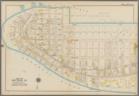
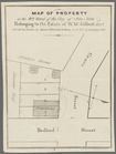
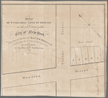
Residence of James Carrigan, …
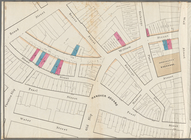
Colonial Park
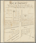
Property in the towns of Cast…
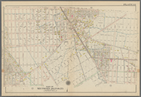
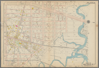
Map of the borough of Manhatt…
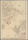
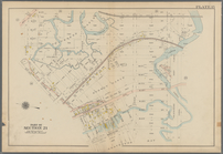
Southeastern part of the boro…
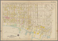
Map shewing the location of t…
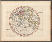
The Old World: Eastern Hemisp…
Map showing the New York and …
Map showing route of marches …
Map of the frontiers of the n…
Bounded by Avenue J., E. 56th…
Bounded by Avenue P., E. 31st…
Bounded by Avenue V., Knapp S…
Coney Island. Bounded by Cana…
Bounded by Bay View Avenue, W…
Bounded by Ocean Parkway, Ave…
Bounded by 86th Street, W. 9t…
Bounded by 86th Street, W. 11…
Bounded by 72nd Street, 22nd …
Bounded by 58th Street, West …
Subdivision of Block 5 of the…
A.R. Roessler's latest map of…
m
Revised map of the state of T…
m
Map of lots to be sold at auc…
Map of lots to be sold at auc…
Executors sale of part of the…
m
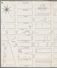
Map of property in the 9th wa…
m
Map of part of the real estat…
m
Map of property in the 9th wa…
m
Map of property in the 9th wa…
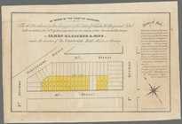
By order of the Court of Chan…
m
51 lots to be sold by R.R. Mi…
m
Map of 5 valuable lots of gro…
m
Map & plan of the contemplate…
Eagle Harbor Copper Co, and E…
R.L. Polk & Co's map of the c…
m
Map of the vicinity of Philad…
Chart of the N.W. coast of Am…
Geological map of a part of t…
La Mesa Colony : San Diego Co…
Old territory and military de…
Geological sections of the Be…
Map of the American colonies …
Preliminary sketch showing th…
A sketch map of a portion of …
Whitesboro, Brown Co., W.T.
Map of explorations in north …
Map of Hon. Wm. L. Scott's es…
C.W. Hobbs' traveler's guide …
Plan of the old fort at Dorch…
1
2
3
4
5
6
7
8
Previous
Next
1
2
3
4
5
6
7
8
Previous
Next