Click to visit the main New York Public Library Homepage
The New York Public Library
Digital Collections
About Digital Collections
Browse
Search only public domain materials
Items
Collections
Divisions
Home
Search
Browse
About
Search only public domain materials
Items
Collections
Divisions
Digital Collections
Using Images
Using Data
Search
Filtered keyword search
Show filters
Hide filters
Show Only Public Domain
topic
Real property
10889
Fire insurance
5305
Cities & towns
5007
City planning
1087
Social conditions
942
More
Less
name
Sanborn Map Company
5108
G.W. Bromley & Co
2551
New York (N.Y.). City Planning Commission
980
M.I.T. Press
942
Bromley, George Washington
857
More
Less
collection
Atlases of New York City
11592
Atlases of the United States
3839
Maps of North America
3345
Maps of New York City and State
2057
Lawrence H. Slaughter Collection of English maps, charts, globes, books and atlases
1248
More
Less
place
New York (State)
13151
New York
4862
New York (N.Y.)
3351
Manhattan (New York, N.Y.)
2239
Brooklyn (New York, N.Y.)
1212
More
Less
genre
Maps
23265
Atlases
3762
Topographic maps
1050
Cadastral maps
594
Nautical charts
394
More
Less
publisher
Sanborn Map Company
5145
G.W. Bromley & Co
2371
MIT Press
942
E. Belcher Hyde
807
K.u.K. Militargeographisches Institut
774
More
Less
division
x
Map Division
type
cartographic
22270
still image
1222
text
755
Date Range
to
Looking for one of these collections?
Atlases of New York City
11,722 items
Atlases of the United States
3,868 items
Maps of North America
3,345 items
Maps of New York City and State
2,059 items
Lawrence H. Slaughter Collection of English maps, charts, globes, books and atlases
1,252 items
Spezialkarte der Osterreichisch-Ungarischen Monarchie
774 items
23,798 results found for:
x
map
Filtering on:
x
Division
: Map Division
Sort by:
Relevance
Title
Date created
Date digitized
Sequence
Results 22501 - 22550
Map
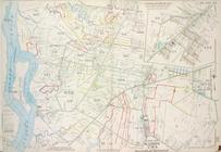
bound by Whale Creek Canal, Green Point
Map
bound by Conselyea St., Bushwick Ave
Map
bound by Bushwick Inlet, N.14th St
Map
bound by N.6th St., Sixth St., Grand
Map
bound by Grand St., Seventh St
Map
bound by S. Sixth St., Broadway
Map
bound by Grand St., Eleventh St., S
Map
bound by Ten Eyck St., Old Bushwick
Map
bound by Broadway, Middleton St
Map
bound by Lee Ave., Flushing Ave
Map
bounded by Putnam Ave., Tompkins Ave
Map
bounded by Putnam Ave., Stuyvesant
Map
bound by Decatur St., Patchen Ave
Map
bound by Decatur St., Saratoga Ave
Map
bound by Meeker Ave., Newtown Creek
Map
bound by Division Pl., Newtown Creek
Map
bound by Decatur St., Broadway
Map
bound by Brooklyn Ave., City Line
Map
bound by Troy Ave., City Line
Map
bound by Herkimer St., Rockaway Ave
Map
bound by Bayard (Sanford) St., Meeker Ave
Map
bound by Orient Ave., City Line
Map
bound by Grand St., Canal, Meserole
Map
bound by Meserole St., Canal
Map
bound by Meadow St., Metropolitan Ave
Map
bound by City Line, Greene St
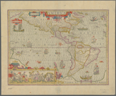
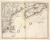
L'Acadia, le Provincie di Sag…
note:
… to Early
Maps
of the Middle
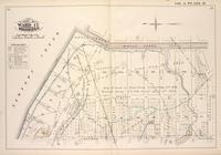
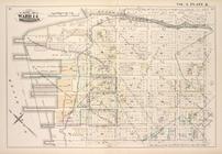
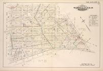
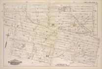
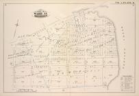
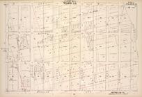
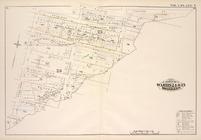
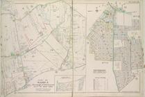
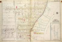
Plate 26, Part of Ward 5: [Ma…
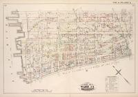
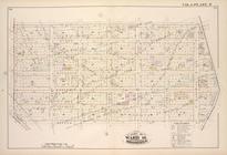
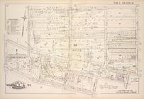
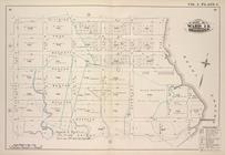
Plate 33, Part of Wards 2 & 3…
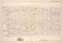
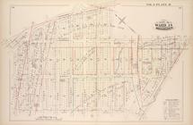
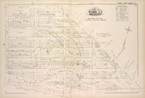
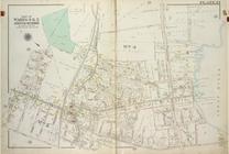
Plate 23, Part of Wards 4 & 5 [
Map
bound
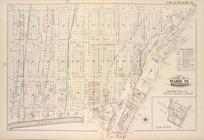
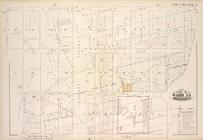
Plate 24, Part of Ward 4 [
Map
bound
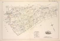
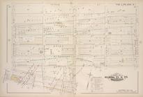
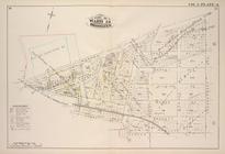
Plate 23, Part of Ward 3 [
Map
bound
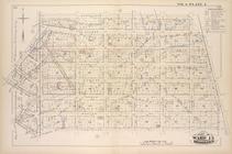
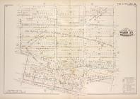
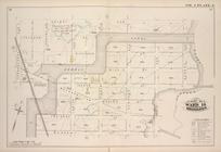
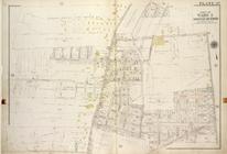
Plate 37, Part of Ward 3 [
Map
bound
m
Map
of 45 lots of ground leased from
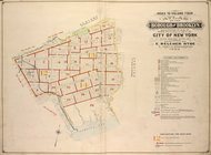
Index to Volume Four. Atlas o…
note:
Corrections pasted on
maps
of earlier date: V
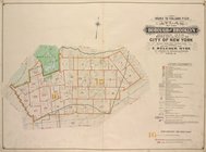
Index to Volume Five. Atlas o…
note:
Corrections pasted on
maps
of earlier date: V
Carte routière de l'Indochine…
collection:
Maps
of Asia
State of Illinois
note:
Mapping
the Nation (NEH grant, 2015-2018)…
Onondaga County & adjacent te…
note:
Mapping
the Nation (NEH grant, 2015-2018)…
m
America
note:
Mapping
the Nation (NEH grant, 2015-2018)…
… and new to the
maps
note:
Mapping
the Nation (NEH grant, 2015-2018)…
The Aqueduct Commissioners, c…
note:
Mapping
the Nation (NEH grant, 2015-2018)…
Atherton, St. Lawrence County…
note:
Mapping
the Nation (NEH grant, 2015-2018)…
Plan of the Brunswick lots in…
note:
Mapping
the Nation (NEH grant, 2015-2018)…
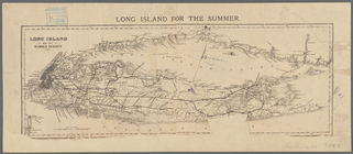
Long Island for the summer
note:
Mapping
the Nation (NEH grant, 2015-2018)…
m
Map
of that portion of her majesty's colonies
note:
Map
A on 1 sheet, B
maps
no. 1-8 on second
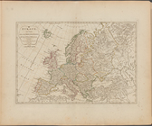
Europe divided into its princ…
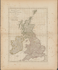
The British Isles, comprehend…
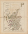
Scotland, and its islands ; o…
Ireland, divided into its fou…
1
2
…
87
88
89
90
91
92
93
94
95
96
Previous
Next
1
2
…
87
88
89
90
91
92
93
94
95
96
Previous
Next