Click to visit the main New York Public Library Homepage
The New York Public Library
Digital Collections
About Digital Collections
Browse
Search only public domain materials
Items
Collections
Divisions
Home
Search
Browse
About
Search only public domain materials
Items
Collections
Divisions
Digital Collections
Using Images
Using Data
Search
Filtered keyword search
Show filters
Hide filters
Show Only Public Domain
topic
Maps
36
Real property
16
Geography
9
Cities & towns
8
Fire insurance
8
More
Less
name
Chauchard, Captain
28
Gillet, Thomas
28
Neele, Samuel John, 1758-1824
28
Stockdale, John, 1749?-1814
28
G.W. Bromley & Co
9
More
Less
collection
Atlases, gazetteers, guidebooks and other books
39
Atlases of New York City
18
Lawrence H. Slaughter Collection of English maps, charts, globes, books and atlases
11
Maps of New York City and State
9
Maps of North America
2
place
Europe
28
New York (State)
19
Bronx (New York, N.Y.)
9
Netherlands
8
New Netherland
8
More
Less
genre
Maps
79
Early maps
4
Facsimiles
4
Nautical charts
3
publisher
Printed for John Stockdale, Piccadilly. T. Gillett, Printer, Salisbury Square
28
G.W. Bromley & Co
9
Sanborn Map Company
8
P. Goos
5
Printed for Ieames Shawe, and are to be solde at his shoppe nigh Ludgate,
4
More
Less
division
x
Map Division
type
cartographic
76
text
3
Date Range
to
79 results found for:
x
Netherlands
Filtering on:
x
Division
: Map Division
Sort by:
Relevance
Title
Date created
Date digitized
Sequence
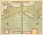
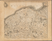
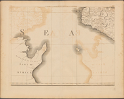
A chart of the Eems of Old We…
…, Holland, the
Netherlands
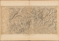
Plate I: A general map of the…
collection:
…, Holland, the
Netherlands
Plate II: A general map of th…
collection:
…, Holland, the
Netherlands
Plate III: A general map of …
collection:
…, Holland, the
Netherlands
Plate V: A general map of the…
collection:
…, Holland, the
Netherlands
Plate VI: A general map of th…
collection:
…, Holland, the
Netherlands
Plate VII: A general map of t…
collection:
…, Holland, the
Netherlands
Plate VIII: A general map of …
collection:
…, Holland, the
Netherlands
Plate IX: A general map of th…
collection:
…, Holland, the
Netherlands
Plate XII: A general map of t…
collection:
…, Holland, the
Netherlands
Plate XIV: A general map of t…
collection:
…, Holland, the
Netherlands
Plate XV: A general map of th…
collection:
…, Holland, the
Netherlands
Plate XVI: A general map of t…
collection:
…, Holland, the
Netherlands
Plate XVII: A general map of …
collection:
…, Holland, the
Netherlands
Plate XVIII: A general map of…
collection:
…, Holland, the
Netherlands
Plate XIX: A general map of t…
collection:
…, Holland, the
Netherlands
Plate XX: A general map of th…
collection:
…, Holland, the
Netherlands
Plate XXI: A general map of t…
collection:
…, Holland, the
Netherlands
Plate XXII: A general map of …
collection:
…, Holland, the
Netherlands
Plate XXIV: A general map of …
collection:
…, Holland, the
Netherlands
Plate XXV: A general map of t…
collection:
…, Holland, the
Netherlands
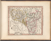
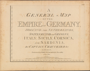
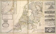
VII United Provinces,
Netherlands
The Catholic
Netherlands
, or the Low
Plate IV: A general map of t…
collection:
…, Holland, the
Netherlands
Plate X: A general map of the…
collection:
…, Holland, the
Netherlands
Plate XIII: A general map of …
collection:
…, Holland, the
Netherlands
…, Holland, the
Netherlands
Plate XI: A general map of th…
collection:
…, Holland, the
Netherlands
Map of Maine & the disputed …
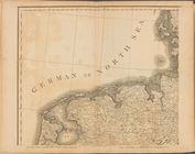
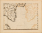
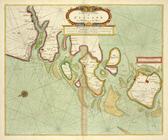
A chart of the Sea-Coast of Z…
…, or
Netherlands
&c.
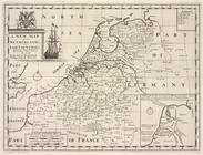
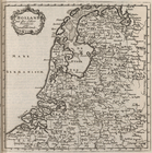
A new map of the
Netherlands
or Low Countries
…, and the
Netherlands
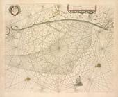
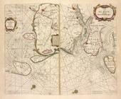
A chart of the SOUTH SEA Texe…
Pascaarte van de Zuyder-zee.
Cust van Hollant tusschen de …
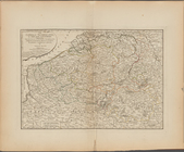
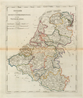
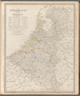
The
Netherlands
and Belgium
Index Map
collection:
…, Holland, the
Netherlands
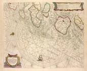
De Texel Stroom met de gaten …
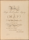
To the King's Most Excellent …
collection:
…, Holland, the
Netherlands
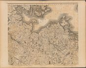
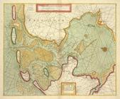
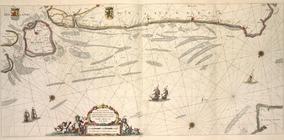
De cust van Zeelandt, begrype…
Paskaert van de Zeeusche en V…
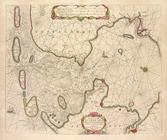
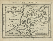
Geldria.
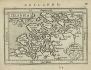
Zelandia.
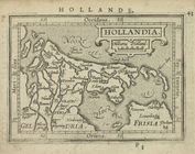
Hollandia.
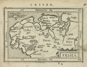
Frisia.
The Seven United Provinces co…
The Spanish
Netherlands
.
… of the United
Netherlands
.