Click to visit the main New York Public Library Homepage
The New York Public Library
Digital Collections
About Digital Collections
Browse
Search only public domain materials
Items
Collections
Divisions
Home
Search
Browse
About
Search only public domain materials
Items
Collections
Divisions
Digital Collections
Using Images
Using Data
Search
Filtered search
Show filters
Hide filters
Show Only Public Domain
topic
Administrative and political divisions
2
Coasts
1
Nautical charts
1
name
Burr, David H., 1803-1875
2
De Witt, Simeon, 1756-1834
2
Bache, A. D. (Alexander Dallas), 1806-1867
1
Benham, Henry Washington, 1813-1884
1
Hassler, F. R. (Ferdinand Rudolph), 1770-1843
1
More
Less
collection
x
Maps of New York City and State
place
Manhattan (New York, N.Y.)
2
New York (N.Y.)
2
New York Metropolitan Area
2
Atlantic Coast
1
Block Island (Island)
1
More
Less
genre
Maps
3
Nautical charts
1
publisher
Published by Simeon De Witt, surveyor general
2
U.S. Coast Survey office
1
division
Map Division
3
type
x
cartographic
Date Range
to
3 results found
Filtering on:
x
Edition
: Second edition
x
Collection
: Maps of New York City and State
x
Type
: cartographic
For more collection details, visit the
Maps of New York City and State collection page
.
Sort by:
Title
Date created
Date digitized
Sequence
m
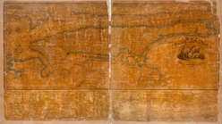
Eastern part of Long Island S…
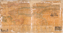
Map of the city and county of…
Map of the city and county of…