Click to visit the main New York Public Library Homepage
The New York Public Library
Digital Collections
About Digital Collections
Browse
Search only public domain materials
Items
Collections
Divisions
Home
Search
Browse
About
Search only public domain materials
Items
Collections
Divisions
Digital Collections
Using Images
Using Data
Search
Filtered search
Show filters
Hide filters
Show Only Public Domain
topic
Description and travel
52
Antiquities
40
Archaeological sites
23
Pyramids
3
African Americans
2
More
Less
name
Norden, Frederik Ludvig, 1708-1742
40
Tuscher, Markus, 1705-1751
40
Green, John, fl. 1730-1753
11
Astley, Thomas, -1839
10
Catherwood, Frederick
6
More
Less
collection
The antiquities, natural history, ruins and other curiosities of Egypt, Nubia and Thebes. Exemplified in near two hundred drawings taken on the spot
40
A new general collection of voyages and travels: consisting of the most esteemed relations, which have been hitherto published in any language; comprehending everything remarkable in its kind, in Europe, Asia, Africa, and America
11
Incidents of travel in Yucatan: By John L. Stephens ... Illustrated by 120 engravings...
6
Relation universelle de l'Afrique, ancienne et moderne
5
Description de l'univers ..
4
More
Less
place
Egypt
41
Nile River
29
Africa
12
Yucatán (Mexico : State)
6
Nubia
4
More
Less
genre
x
Illustrations
Prints
67
Maps
44
Plans
4
Cartouches (Graphic)
1
More
Less
publisher
Printed for Lockyer Davis
40
Printed for T. Astley
11
Harper & Brothers
6
T. Amaulry
5
D. Thierry
4
More
Less
division
General Research Division
44
Schomburg Manuscripts, Archives and Rare Books Division
22
Rare Book Division
20
Schomburg Jean Blackwell Hutson Research and Reference Division
2
Dorot Jewish Division
1
More
Less
type
x
cartographic
still image
10
Date Range
to
91 results found
Filtering on:
x
Form
: Engravings
x
Genre
: Illustrations
x
Type
: cartographic
Sort by:
Title
Date created
Date digitized
Sequence
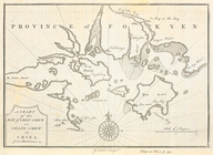
Le Ruyavme d Abyssinie ou lem…
L"empire du Monomotapa et la …
Isle de Malthe
Isle de Madagascar dite de St…
Isles dv Cap Verd
I. Goree
Afrique Ancienne
Afrique Moderne
Partie Septentrionale de L'An…
m
Greenland, [Map]
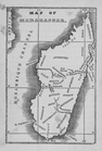
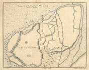
Map of Madagascar
Egtypon Isaei. Ichonographia …
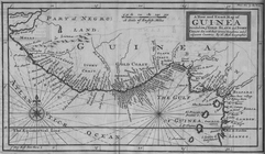
A New and Exact Map of Guinea…
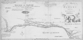
Dahomy and its environs by R.…
The Nile, from Assuan to the …
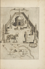
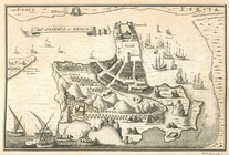
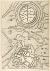
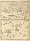
General plan of the pyramids …
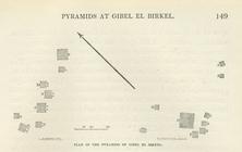
Plan of the pyramids of Gibel…
A new and correct map of Conn…
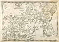
Carte de la Sénégambie et du …
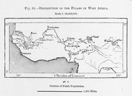
Distribution of Fulahs in Wes…
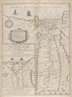
Aegypti descriptio chorograph…
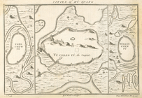
Chorographia originis Nili (i…
Uchenīe i khitrostʹ ratnago s…
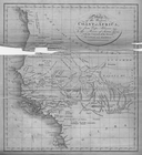
Map of the Western Coast of A…
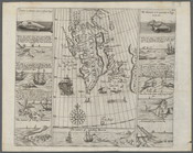
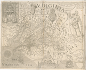
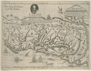
Virginia
A mapp of Virginia discouered…
Island of Harmûz or Ormus
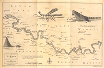
A map of the River Gambra fro…
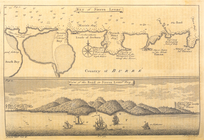
Bay of Sierra Leone; View of…
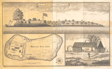
Prospect of Bense Island and …
A chart of the Bay Chin-chew …
Hang-chew fû, capital of Che-…
Vu-si-hyen; Hu-chew fû
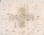
Cities of Hû-quang; Yong-chew…
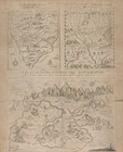
Plans from Du-halde; Si-ngan …
Plans; Canton; Shang-chwen-Sh…
A map of Kitay or Empire of t…
A groundplot of part of the c…
Itinéraire, de Karak a Chauba…
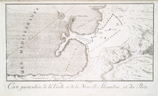
Carte particuliére de la viei…
Carte et plan du port neuf d'…
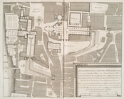
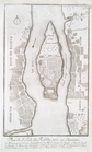
Plan de l'Isle de Rodda, avec…
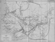
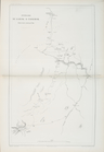
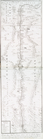
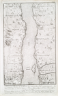
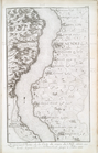
Cours du Nil, et Lieux situés…
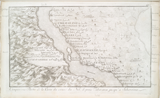
Premier Partie de la Carte du…
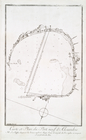
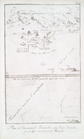
Plan et situation de Pyramide…
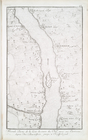
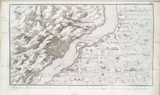
Seconde partie de la carte du…
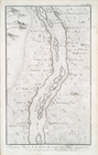
Troisième partie de la carte …
Quatrième partie, de la carte…
Cinquième partie, de la carte…
Sixième partie de la carte du…