Click to visit the main New York Public Library Homepage
The New York Public Library
Digital Collections
About Digital Collections
Browse
Search only public domain materials
Items
Collections
Divisions
Home
Search
Browse
About
Search only public domain materials
Items
Collections
Divisions
Digital Collections
Using Images
Using Data
Search
Filtered search
Show filters
Hide filters
Show Only Public Domain
topic
Houses
31
Antiquities
26
Description and travel
13
Farms
13
Pyramids
7
More
Less
name
Everts, Ensign & Everts
53
Lepsius, Richard, 1810-1884
24
Erbkam, Georg Gustav, 1811-1876
17
Monecke, C
11
Reubke, Gustav
8
More
Less
collection
Atlases of the United States
55
Denkmaeler aus Aegypten und Aethiopien nach den Zeichnungen der von seiner Majestat dem Koenige von Preussen Friedrich Wilhelm IV nach diesen Landern gesendeten und in den Jahren 1842-1845 ausgefuhrten wissenschaftlichen Expedition ..
24
Maps of North America
10
Maps of New York City and State
8
Viaggio nel Basso ed Alto Egitto
5
More
Less
place
Broome County (N.Y.)
53
New York (State)
45
Egypt
34
Binghamton (N.Y.)
16
United States
6
More
Less
genre
Maps
97
Prints
62
Atlases
55
Illustrations
15
Topographic maps
3
More
Less
publisher
Everts, Ensign & Everts
53
Nicolaische Buchhandlung
24
G. Tofani
5
Tip. K. Vulʹfa
4
Girard
3
More
Less
division
Map Division
74
General Research Division
46
Wallach Division: Print Collection
6
Rare Book Division
4
Dorot Jewish Division
3
More
Less
type
x
cartographic
still image
2
text
2
Date Range
to
137 results found
Filtering on:
x
Form
: Lithographs
x
Type
: cartographic
Sort by:
Title
Date created
Date digitized
Sequence
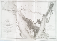
Map illustrating the operatio…
Colton's New York City, Brook…
Carte generale du Caucase.
m
Various Views of St. Domingue
The great war map of battle l…
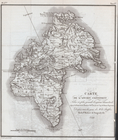
Carte de l'Ancien Continent.
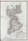
Carte du Nouveau Continent.
Geognosticheskaia karta bereg…
Karta rasprostraneniia dreves…
Plan chasti goroda Aiguna
Plan Albazinskago ukrepleniia…
m
A map of Schuylkill County, P…
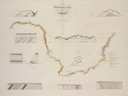
Barometric profile of the rou…
Map of Yakima Region, Washing…
Map of Yakima Region, Washing…
Map of Colville Region, Washi…
Sketch map of Africa
m
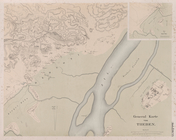
Map of Baltimore
Réduction à la meme échelle d…
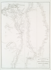
Carte de l'Arabie Pétrée levé…
Carte de l'Arabie Pétrée indi…
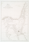
Florida, with the march of He…
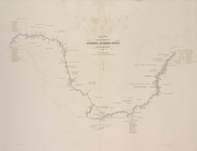
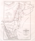
Map to illustrate the sketche…
Map to Illustrate the Route o…
Map of the rail-roads of the …
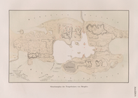
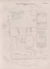
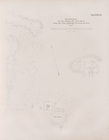
Situationsplan der Tempelruin…
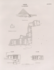
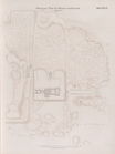
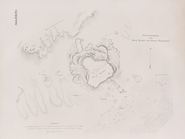
Situationsplan der Pyramiden-…
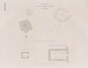
Situationsplan des Pyramidenf…
Giseh [Jîzah]: Grab 86., 87.,…
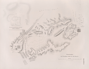
Pyramiden und Todtenfeld von …
Pyramiden und Todtenfeld von …
Situationsplan der Pyramiden-…
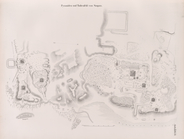
Situationsplan der Ruinen von…
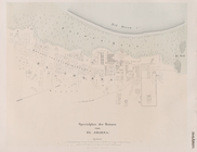
Specialplan der Ruinen von El…
Situationsplan der Ruinen von…
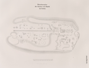
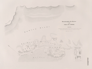
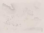
General Karte von Theben [The…
Situations-Plan der Ruinen vo…
Situations-Plan der Ruinen vo…
Situations-Plan der Ruinen vo…
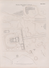
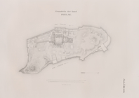
Grundriss der Insel Philae.
Situationsplan der Ruinen von…
Situationsplan des Pyramidenf…
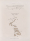
Situationsplan von Berg Barka…
Situationsplan des Pyramidenf…
Situationsplan von der Ruinen…
Situationsplan von der Ruinen…
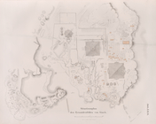
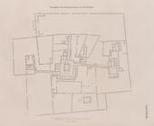
Situationsplan der Gebäuderes…
Grundplan der Gebäudeanlagen …
Situationsplan der Ruinen von…
m
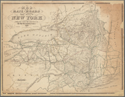
12,000 Square Miles around Ne…