Click to visit the main New York Public Library Homepage
The New York Public Library
Digital Collections
About Digital Collections
Browse
Search only public domain materials
Items
Collections
Divisions
Home
Search
Browse
About
Search only public domain materials
Items
Collections
Divisions
Digital Collections
Using Images
Using Data
Search
Filtered search
Show filters
Hide filters
Show Only Public Domain
topic
x
Real property
Cities & towns
71
Fire insurance
71
Landowners
34
Administrative and political divisions
7
More
Less
name
Everts, Ensign & Everts
83
Beers, F. W. (Frederick W.)
77
Sanborn Map Company
73
F.W. Beers & Co
49
J.B. Beers & Co
38
More
Less
collection
Atlases of the United States
266
Atlases of New York City
168
Maps of New York City and State
50
Maps of North America
16
Collection of broadside real estate maps announcing auctions of lots in early 19th century New York City
2
More
Less
place
New York (State)
432
Genesee County (N.Y.)
83
Westchester County (N.Y.)
81
New York
67
Brooklyn (New York, N.Y.)
52
More
Less
genre
x
Maps
Atlases
266
Cadastral maps
63
Manuscript maps
7
Aerial views
1
More
Less
publisher
Sanborn Map Company
71
F. W. Beers & Co
48
F. W. Beers, A. D. Ellis & others
38
E. Belcher Hyde
15
Robinson, E
15
More
Less
division
Map Division
494
Milstein Division
9
type
cartographic
503
still image
2
text
1
Date Range
to
503 results found
Filtering on:
x
Genre
: Maps
x
Note
: "Whitney -- Jocelyn, N.Y." "Buno, del."--lettered in block.
x
Topic
: Real property
Sort by:
Title
Date created
Date digitized
Sequence
m
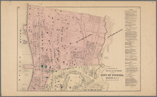
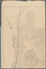
Map of the Cedar Knolls, at B…
m
Map of the southern part of W…
Harrison's map of Jersey City…
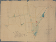
m
Map of property at Fairmount…
Map of 14 lots in the 9th war…
Map of property situated in t…
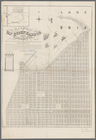
Township no. 74 N. range no.…
Whitney's map of Seattle and …
m
Map of Kings and part of Quee…
Map of part of the Manor of P…
Map of the town of Eastcheste…
m
Map of Charlotte, Mecklenberg…
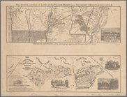
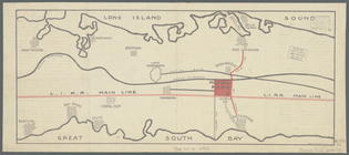
Extract of military map of N.…
m
Highwood Park, East of Glenwo…
m
Auction sale at Montrose Stat…
m
Map of the city of Newark, N.…
Map of property of the Ruther…
Map of property of the Dundee…
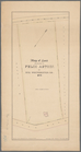
Plan of the Country Club Land…
Rochelle Park, New-Rochelle, …
Map of the village of Lyon Mo…
Map of property at Van Buren …
Map of the village of Waterto…
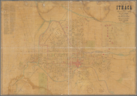
Map of City of Ithaca, N.Y.: …
Plan of the easterly part of …
Portions of 2nd, 3rd, and 4th…
Map of land belonging to Feli…
Map of Richland, Oswego Co. N…
Portions of 1st, 2nd, and 3rd…
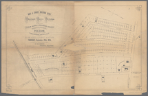
Map of building lots, on the …
Map of Black Point property n…
The early purchasers of Hills…
Town & village of Ovid, Senec…
m
Map of choice building sites …
Map showing location of lands…
Map of Webster Lake, Franklin…
Webster Park, Franklin, N.H.
Country-seat of Danl. P. Barn…
m
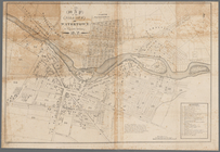
Map of the City of Utica, One…
m
Map of Mount Vernon and envir…
Map of Knollwood, Elmsford, W…
Pencil sketch of Rochester, N…
m
Map of Waverly Park lots loca…
m
Map of Oswego, Oswego Co., N.…
m
Map of the town of Morrisania…
m
Map of Geneva, Ontario Co., N…
Williams' map of the City of …
Town of Greenburgh, Westchest…
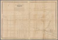
Map of Webster's Addition to …
Map of property belonging to …
1
2
3
Previous
Next
1
2
3
Previous
Next