Click to visit the main New York Public Library Homepage
The New York Public Library
Digital Collections
About Digital Collections
Browse
Search only public domain materials
Items
Collections
Divisions
Home
Search
Browse
About
Search only public domain materials
Items
Collections
Divisions
Digital Collections
Using Images
Using Data
Search
Filtered search
Show filters
Hide filters
Show Only Public Domain
topic
Real property
10738
Fire insurance
5290
Cities & towns
5000
Administrative and political divisions
905
Railroads
786
More
Less
name
Sanborn Map Company
5093
G.W. Bromley & Co
2475
Bromley, George Washington
830
Bromley, Walter Scott
830
Austro-Hungarian Monarchy. Militärgeographisches Institut
773
More
Less
collection
Atlases of New York City
10157
Atlases of the United States
3681
Maps of North America
3343
Maps of New York City and State
2049
Lawrence H. Slaughter Collection of English maps, charts, globes, books and atlases
1218
More
Less
place
New York (State)
11938
New York
3838
Manhattan (New York, N.Y.)
2326
New York (N.Y.)
2105
Brooklyn (New York, N.Y.)
1151
More
Less
genre
x
Maps
Atlases
3609
Topographic maps
1062
Surveys
1032
land surveys
848
More
Less
publisher
Sanborn Map Company
5129
G.W. Bromley & Co
2297
K.u.K. Militargeographisches Institut
773
E. Belcher Hyde
770
publisher not identified
452
More
Less
division
Map Division
21878
Manuscripts and Archives Division
1026
General Research Division
287
Rare Book Division
271
Schomburg Jean Blackwell Hutson Research and Reference Division
127
More
Less
type
cartographic
23761
text
568
still image
361
Date Range
to
23,973 results found
Filtering on:
x
Genre
: Maps
x
Rights
: Public Domain
Sort by:
Title
Date created
Date digitized
Sequence
Results 1001 - 1050
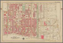
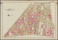
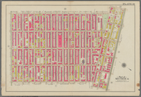
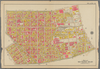
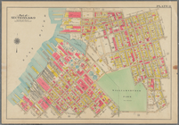
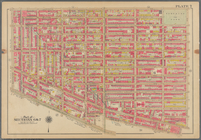
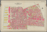
Bounded by Kingston Avenue, M…
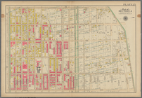
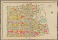
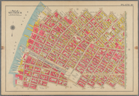
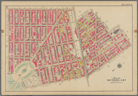
Bounded by Rochester Avenue, …
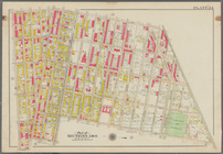
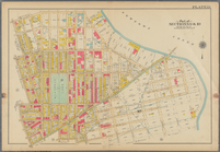
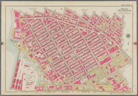
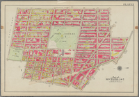
Bounded by Saratoga Avenue, E…
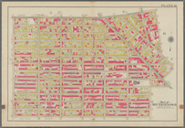
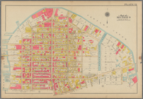
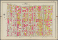
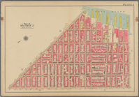
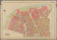
Bounded by Conway Street, Nor…
Bounded by Halsey Street, Irv…
Bounded by Harman Street, St.…
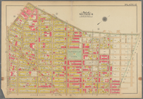
Bounded by Saratoga Avenue, C…
Bounded by Stuyvesant Avenue,…
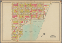
Bounded by Flushing Avenue, B…
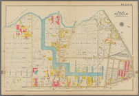
Bounded by Flushing Avenue, P…
Bounded by Newton Creek (Sene…
Bounded by Teneyck Street, Mo…
Bounded by Bayard Street, Gra…
Bounded by Calyer Street, Fro…
Bounded by Commercial Street,…
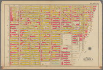
Bounded by Noble St., Manhatt…
Bounded by Metropolitan Ave.,…
Bounded by S. 11th Street, Be…
Bounded by Flushing Avenue, N…
Bounded by Lafayette Avenue, …
Bounded by Fifth Avenue, Atla…
Bounded by Clermont Avenue, G…
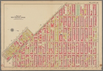
Bounded by Atlantic Avenue, B…
Bounded by Van Brunt Street (…
Bounded by Clark Street, Fult…
Bounded by Plymouth Street, W…
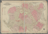
Outline map of the Borough of…
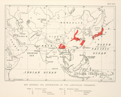
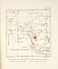
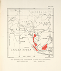
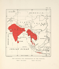
Map showing the distribution …
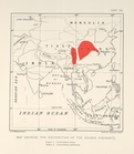
Map showing the distribution …
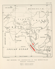
Map showing the distribution …
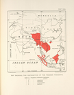
Map showing the distribution …
Map showing the distribution …
Map showing the distribution …
Map showing the distribution …
Map showing the distribution …
Map showing the distribution …
Map schowing the distribution…
Map showing the distribution …
Map showing the distribution …
m
With the 114th in the ETO: A …
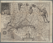
Map of Virginia
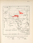
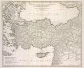
Asiæ, quæ vulgo Minor dicitur…
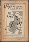
Le Guide Sam: 1924, [Title pa…
m
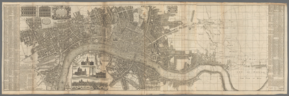
London surveyed or a new map …
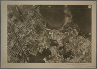
9B - N.Y. City (Aerial Set).
9C - N.Y. City (Aerial Set).
9D - N.Y. City (Aerial Set).
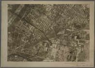
10A - N.Y. City (Aerial Set).
10B - N.Y. City (Aerial Set).
10C - N.Y. City (Aerial Set).
1
2
3
4
5
6
7
8
9
10
…
95
96
Previous
Next
1
2
3
4
5
6
7
8
9
10
…
95
96
Previous
Next