Click to visit the main New York Public Library Homepage
The New York Public Library
Digital Collections
About Digital Collections
Browse
Search only public domain materials
Items
Collections
Divisions
Home
Search
Browse
About
Search only public domain materials
Items
Collections
Divisions
Digital Collections
Using Images
Using Data
Search
Filtered keyword search
Show filters
Hide filters
Show Only Public Domain
topic
Administrative and political divisions
19
Election districts
16
School districts
3
Census
2
Population
2
More
Less
name
New York (State). Legislature. Senate
4
New York (State). Legislature. Assembly
3
Hayward, George, approximately 1800-
2
New York (N.Y.). Board of Elections
2
United States. Congress
2
More
Less
collection
x
Maps of New York City and State
place
New York (State)
16
New York (N.Y.)
9
New York
8
Brooklyn (New York, N.Y.)
7
Manhattan (New York, N.Y.)
6
More
Less
genre
x
Maps
Manuscript maps
1
publisher
publisher not identified
3
G. Hayward
1
Lith. of E.B. & E.C. Kellogg
1
Potter Bros., Brokers
1
Published by Serrell & Perkins, 75 & 77 Nassau St.,
1
More
Less
division
Map Division
22
type
cartographic
22
text
1
Date Range
to
22 results found for:
x
"new york" election
Filtering on:
x
Genre
: Maps
x
Collection
: Maps of New York City and State
For more collection details, visit the
Maps of New York City and State collection page
.
Sort by:
Relevance
Title
Date created
Date digitized
Sequence
m
The Rand McNally map of the b…
use:
… partner (e.g.,
New
York
Census of the State of
New
York
, 1855
use:
… partner (e.g.,
New
York
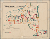
Senatorial districts: [N.Y. S…
use:
… partner (e.g.,
New
York
Assembly districts: [N.Y Stat…
use:
… partner (e.g.,
New
York
m
… portion of the City of
New
York
use:
… partner (e.g.,
New
York
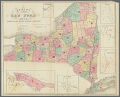
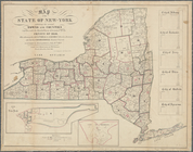
Map of the State of
New
-
York
exhibiting
use:
… partner (e.g.,
New
York
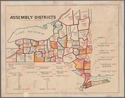
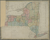
State of
New
York
divided into senatorial
use:
… partner (e.g.,
New
York
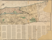
Williams' map of Borough of B…
use:
… partner (e.g.,
New
York
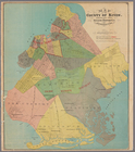
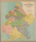
Map of the county of Kings, s…
use:
… partner (e.g.,
New
York
…
Election
Districts of
New
York
use:
… partner (e.g.,
New
York
m
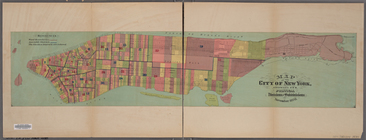
Map of the City of
New
York
, showing its
use:
… partner (e.g.,
New
York
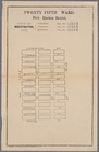
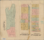
Twenty fifth ward, first
election
district
use:
… partner (e.g.,
New
York
Borough of Manhattan: 23rd As…
use:
… partner (e.g.,
New
York
Map of the county of Kings, s…
use:
… partner (e.g.,
New
York
Map of the county of Kings, s…
use:
… partner (e.g.,
New
York
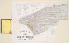
Map of the city of
New
York
, showing its
use:
… partner (e.g.,
New
York
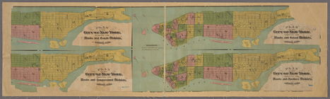
4 plans of the City of
New
York
showing
use:
… partner (e.g.,
New
York
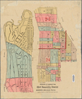
Map showing the 19th Assembly…
use:
… partner (e.g.,
New
York
New map of the city of
New
York
.
use:
… partner (e.g.,
New
York
m
27th assembly district
use:
… partner (e.g.,
New
York
A map of the state of
New
York
: exhibiting
use:
… partner (e.g.,
New
York
m
Borough of Brooklyn, 5th cong…
use:
… partner (e.g.,
New
York
End of results
|
Top