Click to visit the main New York Public Library Homepage
The New York Public Library
Digital Collections
About Digital Collections
Browse
Search only public domain materials
Items
Collections
Divisions
Home
Search
Browse
About
Search only public domain materials
Items
Collections
Divisions
Digital Collections
Using Images
Using Data
Search
Filtered keyword search
Show filters
Hide filters
Show Only Public Domain
topic
Real property
20
Railroads
14
Administrative and political divisions
10
Landowners
8
Railroads, Elevated
6
More
Less
name
Burr, David H., 1803-1875
7
C.S. Hammond & Company
4
Disturnell, John, 1801-1877
4
Gavit, John E., 1817-1874
4
Walling, Henry Francis, 1825-1888
4
More
Less
collection
x
Maps of New York City and State
place
New York (State)
75
New York
32
New York (N.Y.)
32
Manhattan (New York, N.Y.)
14
Brooklyn (New York, N.Y.)
13
More
Less
genre
x
Maps
Cadastral maps
9
Aerial views
3
Pamphlets
3
Bird's-eye views
2
More
Less
publisher
publisher not identified
9
Adirondack survey
3
Common Council
2
J. Hinton
2
Photo-lith. by Robert A. Welcke
2
More
Less
division
Map Division
102
Manuscripts and Archives Division
1
type
cartographic
103
text
4
still image
1
Date Range
to
103 results found for:
x
30
Filtering on:
x
Genre
: Maps
x
Collection
: Maps of New York City and State
For more collection details, visit the
Maps of New York City and State collection page
.
Sort by:
Relevance
Title
Date created
Date digitized
Sequence
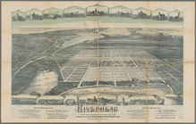
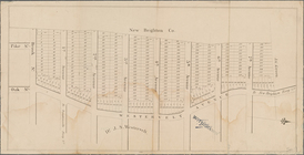
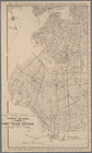
Riverhead, the home resort of…
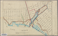
Map showing a part of Brookly…
New York and environs : desig…
first:
47c75b
30
-757e-0131-a49d-58d385a7bbd0
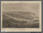
New York and environs : desig…
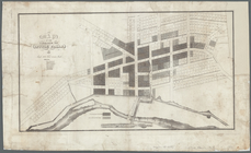
Map of the village at Little …
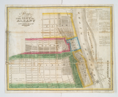
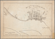
Map of the city of Albany
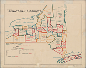
Senatorial districts: [N.Y. S…
m
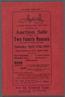
Auction Sale of thirty (
30
) Two Family
Mining district of Rossie
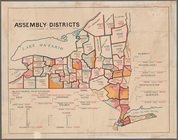
Assembly districts: [N.Y Stat…
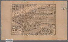
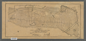
Map of the City of New York
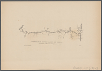
Communication between Albany …
Map of the City of New York w…
Property nos. 43, 45, and 47 …
Real estate map of property b…
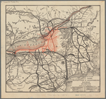
Map of New York, Brooklyn, an…
Map of the Rome, Watertown an…
Hempstead
m
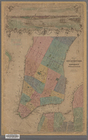
Map of Kings and part of Quee…
note:
Engraved & printed by Korff Brothers,
30
Cedar
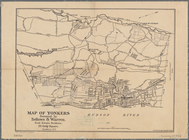
Map of Yonkers
Sectional map of New York, Br…
Plan of the city of Albany ab…
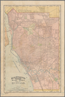
Rand, McNally & Co.'s indexed…
Hammond's handy reference map…
m
Sea Gate, New York Harbor
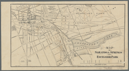
Map of Saratoga Springs and E…
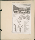
A perspective view of Lake Ge…
A perspective view of Lake Ge…
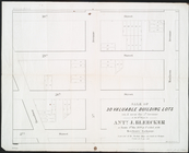
Sale of
30
valuable building lots on & near
note:
Covers area bounded by Broadway,
30
th Street
1863, West Point: [New York]
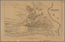
Port Jervis
first:
b
30
bbcf0-153e-0134-288e-00505686a51c
Hollis Terrace addition no. 1…
m
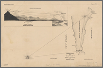
Plan and profile showing the …
note:
…"Profile horizontal & vertical scale =
30
feet
Adirondack survey, 1873: Bald…
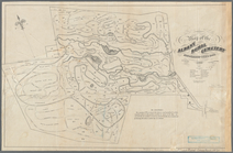
Map of the Albany Rural Cemet…
Adirondack survey, Sketch in …
New York.
Plan von New-York, 1844.
Map of the city of New-York.
The Matthews-Northrup up-to-d…
New York City, 8th Congressio…
Map of northern New York: sho…
Map of the Albany Rural Cemet…
first:
96dc6e00-0665-0134-0f
30
-00505686a51c
Map showing the location of t…
Hammond's handy reference map…
Adirondack survey, 1873: prim…
Country-seat of Danl. P. Barn…
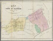
Map of the town of Flatbush, …
m
New York and vicinity : accom…
Map of the lower village of M…