Click to visit the main New York Public Library Homepage
The New York Public Library
Digital Collections
About Digital Collections
Browse
Search only public domain materials
Items
Collections
Divisions
Home
Search
Browse
About
Search only public domain materials
Items
Collections
Divisions
Digital Collections
Using Images
Using Data
Search
Filtered keyword search
Show filters
Hide filters
Show Only Public Domain
topic
Real property
194
Fire insurance
49
Cities & towns
47
Maps
8
Zoning
6
More
Less
name
Ullitz, Hugo
95
E.B. Hyde & Co
91
E. Belcher Hyde Map Company
72
Sanborn Map Company
48
G.W. Bromley & Co
31
More
Less
collection
x
Atlases of New York City
place
New York (State)
203
New York
150
Brooklyn (New York, N.Y.)
97
Maps
68
Manhattan (New York, N.Y.)
40
More
Less
genre
x
Maps
Cadastral maps
1
Index maps
1
Topographic maps
1
publisher
E. Belcher Hyde
76
Sanborn Map Company
49
G.W. Bromley & Co
27
Lith. by Korff Brothers
22
William Perris, Civil Engineer
22
More
Less
division
Map Division
234
type
cartographic
235
text
1
Date Range
to
235 results found for:
x
30
Filtering on:
x
Genre
: Maps
x
Collection
: Atlases of New York City
For more collection details, visit the
Atlases of New York City collection page
.
Sort by:
Relevance
Title
Date created
Date digitized
Sequence
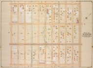
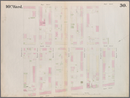
…, Double Page Plate No.
30
; Part of Ward
30
Plate
30
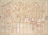
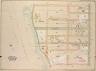
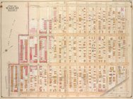
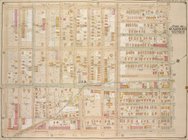
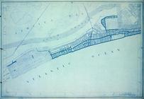
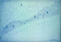
: [Bounded by New York Bay
parent:
b6999d
30
-c604-012f-643f-58d385a7bc34
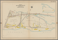
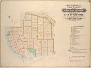
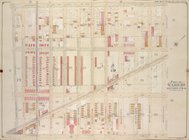
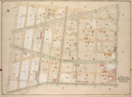
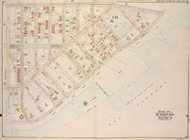
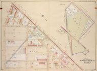
Coney Island: Part of Section…
collection:
Plate
30
Plate
30
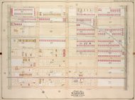
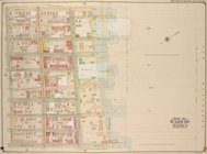
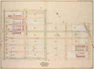
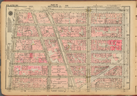
: Bounded by Seneca Avenue, Covert
… & 19. Ward
30
. City
…; Part of Ward
30
…; Part of Ward
30
…; Part of Ward
30
…; Part of Ward
30
…; Part of Ward
30
…; Part of Ward
30
…; Part of Ward
30
…; Part of Ward
30
…; Part of Ward
30
…; Part of Ward
30
…; Part of Ward
30
…; Part of Ward
30
…; Part of Ward
30
…; Part of Ward
30
…; Part of Ward
30
…; Part of Ward
30
…; Part of Ward
30
…; Part of Ward
30
…; Part of Ward
30
…; Part of Ward
30
…; Part of Ward
30
…; Part of Ward
30
…; Part of Ward
30
…; Part of Ward
30
…; Part of Ward
30
…; Part of Ward
30
…; Part of Ward
30
…; Part of Wards
30
& 31
…; Part of Ward
30
…; Part of Ward
30
…; Part of Ward
30
…; Part of Ward
30
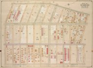
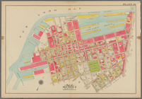
Plate
30
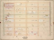
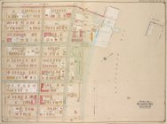
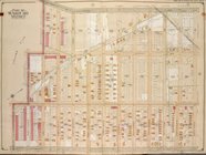
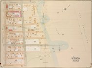
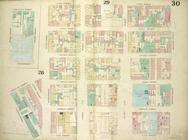
: Map bounded by Bergen Steet
…; Part of Wards
30
& 31
…; Part of Ward
30
Bounded by (New York Bay Pier…
collection:
Plate
30
Height District Map Section No.
30
parent:
30593990-bc6a-0132-4f
30
-58d385a7bbd0
Use District Map Section No.
30
parent:
30593990-bc6a-0132-4f
30
-58d385a7bbd0
Plate
30
, Part of Section 2
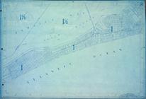
Plate
30
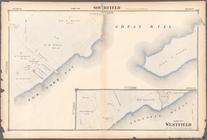
Part of Southfield
collection:
Section
30
Plate
30
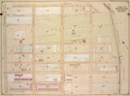
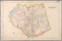
: Town of Newtown.
Area District Map Section No.
30
parent:
30593990-bc6a-0132-4f
30
-58d385a7bbd0
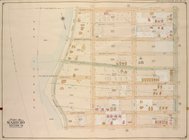
Plate
30
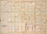
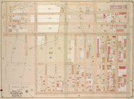
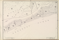
: Map bounded by Cannon Street
Area Zoning Map Section No.
30
parent:
30593990-bc6a-0132-4f
30
-58d385a7bbd0