Click to visit the main New York Public Library Homepage
The New York Public Library
Digital Collections
About Digital Collections
Browse
Search only public domain materials
Items
Collections
Divisions
Home
Search
Browse
About
Search only public domain materials
Items
Collections
Divisions
Digital Collections
Using Images
Using Data
Search
Filtered keyword search
Show filters
Hide filters
Show Only Public Domain
topic
x
Administrative and political divisions
Railroads
3
Real property
3
Election districts
2
Harbors
2
More
Less
name
Matthews-Northrup Company
3
Dudley, Dean, 1823-1906
2
Farmer, John, 1798-1859
2
G.W. & C.B. Colton & Co
2
J.H. Colton & Co
2
More
Less
collection
Maps of North America
30
Maps of New York City and State
10
I. N. Phelps Stokes Collection of American Historical Prints
1
place
New York (N.Y.)
8
New York (State)
7
Manhattan (New York, N.Y.)
5
Brooklyn (New York, N.Y.)
4
Louisiana
3
More
Less
genre
x
Maps
Cadastral maps
2
Diagrams
1
publisher
B.M. Norman
2
Matthews-Northrup Co
2
S. Augustus Mitchell
2
A.J. Johnson
1
D. Appleton & Co. 90, 92, & 94 Grand Street
1
More
Less
division
Map Division
40
Wallach Division: Print Collection
1
type
cartographic
41
Date Range
to
41 results found for:
x
30
Filtering on:
x
Genre
: Maps
x
Topic
: Administrative and political divisions
Sort by:
Relevance
Title
Date created
Date digitized
Sequence
Map of Kane County, Illinois,…
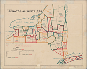
Senatorial districts: [N.Y. S…
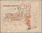
Assembly districts: [N.Y Stat…
City of Taunton: [Massachuset…
Tenth census of the United St…
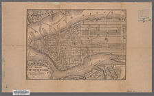
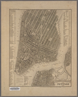
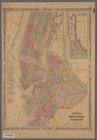
Map of the City of New York
Improved map of the territori…
note:
Scale 1:1,900,800.
30
geographical miles
Map of the territories of Mic…
note:
Scale 1:1,900,800.
30
geographical miles
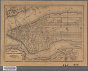
Map of the City of New York w…
Map of New York, Brooklyn, an…
Map of Cincinnati and suburbs…
first:
8bbcfe
30
-208f-0136-2c24-052c42d140e3
Map of the city of Chicago
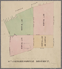
New York City, 8th Congressio…
Map of the state of Texas [an…
The Matthews-Northrup up-to-d…
m
The Matthews-Northrup up-to-d…
Plan von New-York, 1851
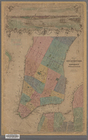
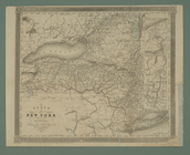
State of New York
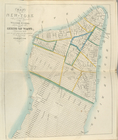
Map of the City of New York
note:
… 73°56ʹ
30
ʺ/N 40°46ʹ25ʺ--N
Karte von Californien und The…
Tenth census of the United St…
Connecticut
parent:
a171a030-
30
bd-0134-8442-00505686a51c
Johnson's New York and Brookl…
note:
In right margin:
30
, 31; on verso
Map of Cambridge, Mass.
New Orleans : map of the revo…
The Matthews-Northrup up-to-d…
parent:
6a1cce
30
-c52b-012f-7dbc-3c075448cc4b
New map of Boston: comprising…
City of Chicago
A new map of Arkansas
m
Mississippi
note:
…°--N
30
°).
Territorial groups of the Uni…
m
Map of Roanoke, Virginia : sh…
A new map of the state of Ohio
Rand, McNally & Co.'s New Jer…
Map of the city of New York.
m
Norman's plan of New Orleans …
note:
…ʹ/N
30
°01ʹ--N 29°53ʹ).
Rollandet's guide map and str…
note:
Scale approximately 1:
30
,000 (W 105°06ʹ35ʺ--W
m
An accurate map of North and …
m
Norman's plan of New Orleans …
note:
…ʹ/N
30
°01ʹ--N 29°53ʹ).
An accurate map of North and …
note:
…"Publish'd as the Act directs May
30
th
Map of the state of Georgia :…
note:
…ʹ/N 35°10ʹ--N
30
°10ʹ).
End of results
|
Top