Click to visit the main New York Public Library Homepage
The New York Public Library
Digital Collections
About Digital Collections
Browse
Search only public domain materials
Items
Collections
Divisions
Home
Search
Browse
About
Search only public domain materials
Items
Collections
Divisions
Digital Collections
Using Images
Using Data
Search
Filtered keyword search
Show filters
Hide filters
Show Only Public Domain
topic
x
Fire insurance
Real property
13
Cities & towns
9
name
Sanborn Map Company
11
Perris, William
2
collection
Atlases of New York City
13
place
New York (State)
13
New York
4
Manhattan (New York, N.Y.)
2
Staten Island (New York, N.Y.)
2
genre
x
Maps
publisher
Sanborn Map Company
9
Sanborn Map Co
2
William Perris
2
division
Map Division
13
type
cartographic
13
Date Range
to
13 results found for:
x
st john
Filtering on:
x
Genre
: Maps
x
Topic
: Fire insurance
Sort by:
Relevance
Title
Date created
Date digitized
Sequence
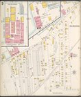
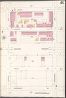
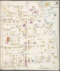
… Street, Laight Street,
St
.
John
's Lane, West
… Street,
St
.
John
's Lane
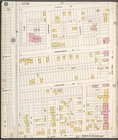
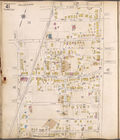
… Hills Ave., Fairmount
St
.,
John
, Millwood Ave
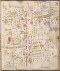
…. 2 [Map bounded by
St
.
John
Ave., Maine Ave
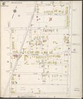
… by Richmond Terrace West,
John
St
., Innis
St
….,
St
.
Johns
Ave., 4th
St
.]
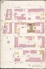
… bounded by
St
. Marks Ave., Nostrand Ave.,
St
.
Johns
Pl
… bounded by
St
.
Johns
Pl., Rogers Ave., President
St
… bounded by
St
.
Johns
Pl., Nostrand Ave., President
St
… bounded by
St
.
Johns
Ave
…., Edgewater, Scarboro Ave.,
St
.
Johns
Ave.]
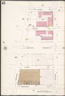
… bounded by
St
.
Johns
Ave
…, Bayview Ave.,
St
.
Johns
End of results
|
Top