Click to visit the main New York Public Library Homepage
The New York Public Library
Digital Collections
About Digital Collections
Browse
Search only public domain materials
Items
Collections
Divisions
Home
Search
Browse
About
Search only public domain materials
Items
Collections
Divisions
Digital Collections
Using Images
Using Data
Search
Filtered keyword search
Show filters
Hide filters
Show Only Public Domain
topic
x
History
Business enterprises
35
Real property
35
name
Beers, F. W. (Frederick W.)
35
collection
Atlases of the United States
35
place
New York (State)
35
Orange County
35
Orange County (N.Y.)
35
United States
1
genre
x
Maps
Atlases
35
publisher
Andreas, Baskin & Burr
35
division
Map Division
35
type
cartographic
35
Date Range
to
35 results found for:
x
Beer
Filtering on:
x
Genre
: Maps
x
Topic
: History
Sort by:
Relevance
Title
Date created
Date digitized
Sequence
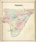
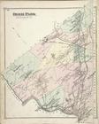
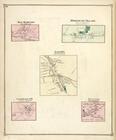
Wawayanda [Township]
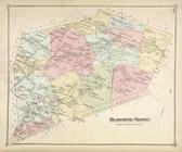
Blooming Grove [Township]
Mounr Hope [Township]; Mount …
Minisink [Township]
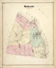
Highland [Township]
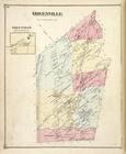
Greenville [Township]; Greenv…
Highland Falls [Village]
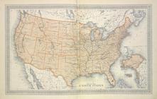
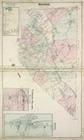
Map of The United States
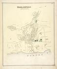
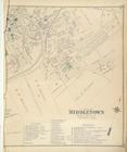
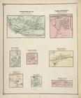
Part of Middletown [Village]
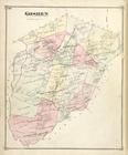
Goshen [Township]
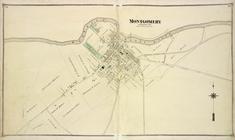
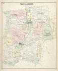
Montgomery [Village]
Hamptonburgh [Township]; Camp…
West Point [Village]; Unionvi…
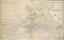
Port Jervis [Village]
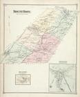
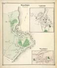
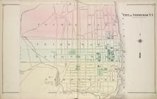
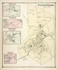
New Windsor [Township]; New W…
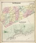
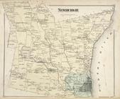
Newburgh [Township]
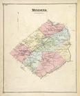
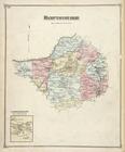
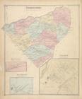
Montgomery [Township]
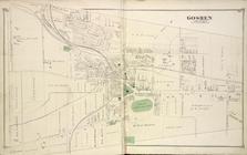
Goshen [Village]
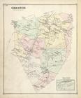
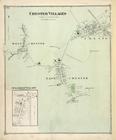
Chester [Township]; Grey Cour…
City of Newburgh N.Y. [Villag…
Deer Park [Township]
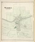
Walden [Village]
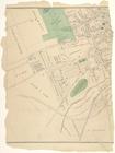
Part of Middletown [Village]
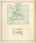
Washigtonville [Village]; Sal…
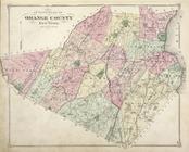
Outline Plan of Orange County…
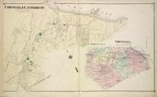
Cornwall & Cantebury [Village…
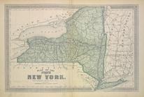
Plan of The State of New York
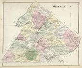
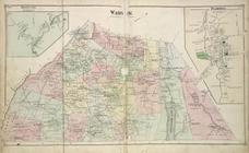
Wallkill [Township]
Chester Villages [Village]; S…
Bellvale [Village]; Warwick […
Crawford [Township]; Searsvil…
Amity Village [Village]; New …
New Hampton [Village]; Center…
Monroe [Township]; Highland M…
Sparrowbush P.O. [Village]; H…
End of results
|
Top