Click to visit the main New York Public Library Homepage
The New York Public Library
Digital Collections
About Digital Collections
Browse
Search only public domain materials
Items
Collections
Divisions
Home
Search
Browse
About
Search only public domain materials
Items
Collections
Divisions
Digital Collections
Using Images
Using Data
Search
Filtered keyword search
Show filters
Hide filters
Show Only Public Domain
topic
x
Nautical charts
Harbors
7
Coasts
4
Trade routes
3
Trade winds
3
More
Less
name
United States Coast Survey
13
Bache, A. D. (Alexander Dallas), 1806-1867
11
Ackerman Lithr
3
Goos, Pieter, approximately 1616-1675
3
Knight, C. A
3
More
Less
collection
Maps of North America
19
Lawrence H. Slaughter Collection of English maps, charts, globes, books and atlases
8
Maps of New York City and State
3
Maps of the Oceans
2
Cartographic materials from the Emmet collection of manuscripts etc. relating to American history
1
More
Less
place
New York (N.Y.)
6
Maps
5
New Jersey
5
North Atlantic Ocean
4
California
3
More
Less
genre
x
Maps
Nautical charts
18
Bathymetric maps
11
Early works to 1800
1
Illustrations
1
More
Less
publisher
U.S. Coast Survey
10
By Pieter Goos, op de Texelse Kay, naest de Rams-koy, in de Zee-Spiegel
3
Government Printing Office
2
Published ... by Andrew Dury, Duke's Court, St. Martins Lane
2
U.S. Coast Survey Office
2
More
Less
division
Map Division
34
type
cartographic
34
still image
1
Date Range
to
34 results found for:
x
30
Filtering on:
x
Genre
: Maps
x
Topic
: Nautical charts
Sort by:
Relevance
Title
Date created
Date digitized
Sequence
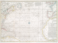
A new chart of the vast Atlan…
Hawaiian or Sandwich Islands
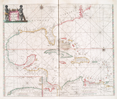
Pas caerte van Nieu Nederland…
parent:
0086ce
30
-c5d4-012f-cf0d-58d385a7bc34
Ocilla River, Florida
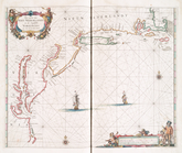
Pascaerte van Westindien : de…
A new chart of the vast Atlan…
Reconnoissance of the entranc…
A new chart of the vast Atlan…
Pascaerte vande Vlaemsche, So…
Map of comparison of Maffitt'…
abstract:
….
30
" --Upper left
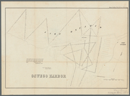
Oswego Harbor, 33d Congress, …
Survey of the mouth of Clinto…
Savannah River, reconnaissanc…
Harbor of Michigan City, Indi…
Reconnaissance of Pass Fourch…
Long Island Sound from New Yo…
note:
surveyed in the years 1828, 29, &
30
Long Island Sound from New Yo…
note:
surveyed in the years 1828, 29, &
30
Survey of the entrance to Mil…
York River and Cape Neddick h…
Preliminary survey of Point R…
Grand Island Pass, Mississipp…
Reconnaissance of the S.E. en…
Preliminary surveys of harbor…
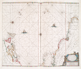
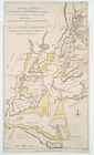
A map and chart of those part…
A chart of the bar of Sandy H…
note:
Scale [ca. 1:
30
,000] (W 74⁰00ʹ/N 40⁰27ʹ)…
A new chart of the Atlantic o…
parent:
16cc3c
30
-c5d5-012f-0c8f-58d385a7bc34
Chart and plan of the harbour…
A chart of Delaware Bay and R…
Chart and plan of the harbour…
A chart of Delaware Bay and R…
Sketch I, showing the progres…
parent:
0e905510-bc
30
-0135-2754-51c32ad7386f
Key West Harbor and its appro…
abstract:
…" [Scale 1:
30
,000].
Preliminary chart of Beaufort…
abstract:
… Bight, [scale 1:
30
Plan of Amelia Island in East…
End of results
|
Top