Click to visit the main New York Public Library Homepage
The New York Public Library
Digital Collections
About Digital Collections
Browse
Search only public domain materials
Items
Collections
Divisions
Home
Search
Browse
About
Search only public domain materials
Items
Collections
Divisions
Digital Collections
Using Images
Using Data
Search
Filtered search
Show filters
Hide filters
Show Only Public Domain
topic
Antiquities
102
Description and travel
82
Archaeological sites
21
Celestial charts
20
Constellations
20
More
Less
name
Norden, Frederik Ludvig, 1708-1742
40
Tuscher, Markus, 1705-1751
40
Lepsius, Richard, 1810-1884
39
Monecke, C
21
Bode, Johann Elert, 1747-1826
20
More
Less
collection
The antiquities, natural history, ruins and other curiosities of Egypt, Nubia and Thebes. Exemplified in near two hundred drawings taken on the spot
40
Denkmaeler aus Aegypten und Aethiopien nach den Zeichnungen der von seiner Majestat dem Koenige von Preussen Friedrich Wilhelm IV nach diesen Landern gesendeten und in den Jahren 1842-1845 ausgefuhrten wissenschaftlichen Expedition ..
39
Joannis Elerti Bode Uranographia, sive astrorum descriptio viginti tabulis aeneis incisa ex recentissimis et absolutissimis astronomorum observationibus ..
20
Africa: being an accurate description of the regions of Ægypt, Barbary, Lybia, and Billedulgerid, the land of Negroes, Guinee, Æthiopia, and the Abyssines, with all the adjacent islands ... collected and translated from most authentick authors ... by John Ogilby ..
15
Umbstandliche und eigentliche Beschreibung von Africa
14
More
Less
place
Egypt
103
Africa
36
Nile River
29
Islands of the Atlantic
15
Islands of the Indian Ocean
15
More
Less
genre
x
Prints
Illustrations
93
Maps
89
Ornithological illustrations
7
Scientific illustrations
7
More
Less
publisher
Printed for Lockyer Davis
40
Nicolaische Buchhandlung
39
Apud Autorem
20
Jacob von Meurs
14
J. Murray
8
More
Less
division
General Research Division
230
type
x
cartographic
still image
6
text
1
Date Range
to
230 results found
Filtering on:
x
Genre
: Prints
x
Location
: General Research Division
x
Type
: cartographic
For more division details, visit the
General Research Division division page
.
Sort by:
Title
Date created
Date digitized
Sequence
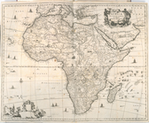
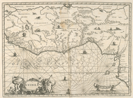
Africae Accurata Tabula ex Of…
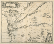
Nova Aegypti Tabula
Barbaria Biledulgered o: Liby…
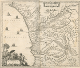
Fezzae et Marocchi Regna Afri…
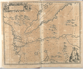
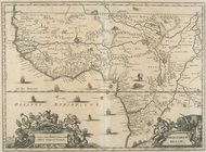
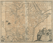
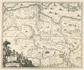
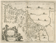
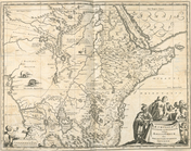
Nigritarum Regio
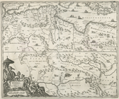
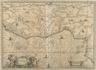
Gvinea
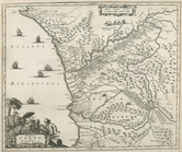
Aethiopia Inferior vel Exteri…
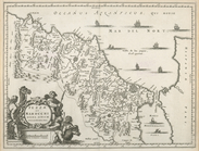
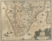
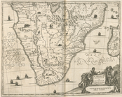
Regna Congo et Angola
Aethiopia Superior vel Interi…
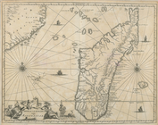
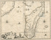
Insvla S. Lavrentii, vulgo Ma…
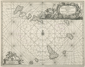
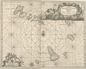
Insula Promontorii Viridis, H…
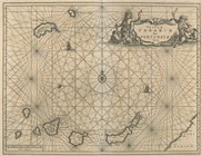
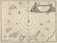
Insula Canariae alias Fortuna…
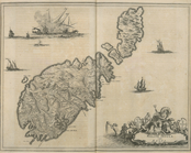
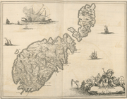
Melite Insula vulgo Masia
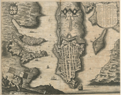
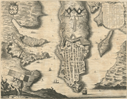
Difegno Della Citta Valletta
An old map of Heijokyo (Heijo…
An old map of Heiankyo (Heian…
m
Atlas géologique
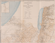
Die Karte von Arabia Petraea
Die Karte von Arabia Petraea
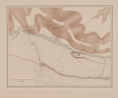
Situationsplan
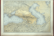
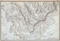
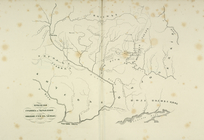
Carte generale du Caucase.
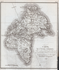
Carte de l'Ancien Continent.
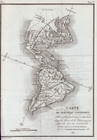
Carte du Nouveau Continent.
[La Carte]
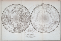
Carte des deux Régions Polair…
Nova Aegypti Tabula.
Barbaria Biledulgered o: Liby…
Fezzae et Marocchi Regna Afri…
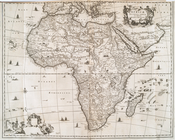
Africae Accurata Tabula ex Of…
The Citty of Tanger.
Nigritarum Regio.
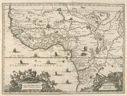
Gvinea.
Aethiopia Inferior vel Exteri…
Regna Congo et Angola.
Aethipia Superior vel Interio…
Insvla S. Lavrentii, vulgo Ma…
Insulae Promontori Viridis, H…
Insulae Canariae alias Fortun…
Melite Insula vulgo Masia.
Difegno Della Citta Valletta.
Priznaki granits I ukreplenii…
Planta topografica della citt…
Rouine d'un Tempio d'Iside pr…
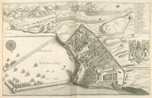
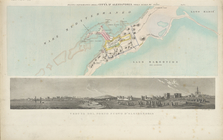
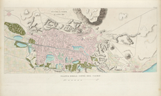
Pianta della città del Cairo.
Pianta topografica di alcune …
Altra veduta di Carnac; Piant…
Pianta del tempio di Luxor.
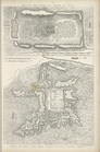
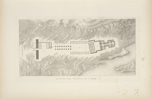
Piano generale di Tebe.
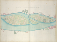
Pianta del tempio di File.
Geognosticheskaia karta bereg…